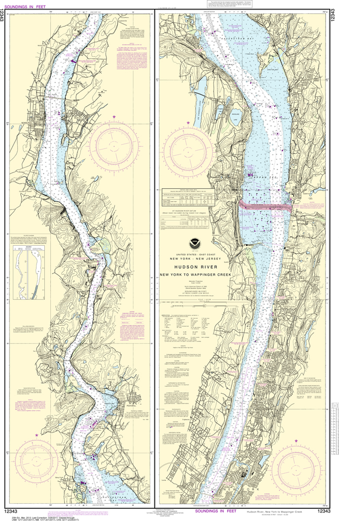
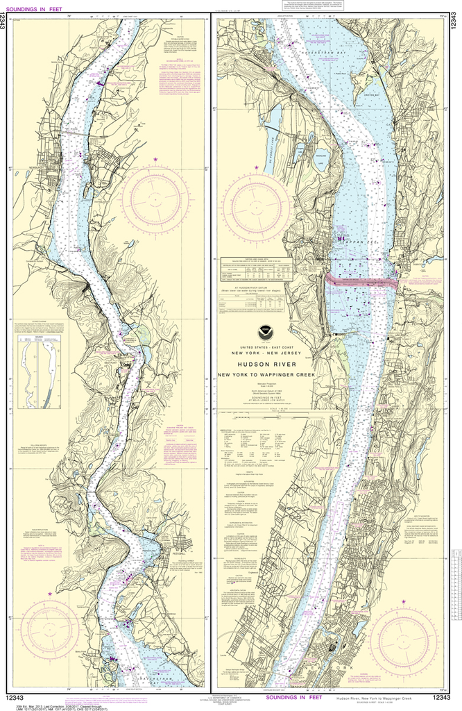
$26.95
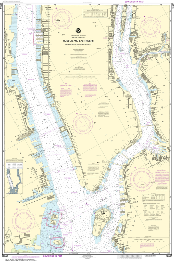
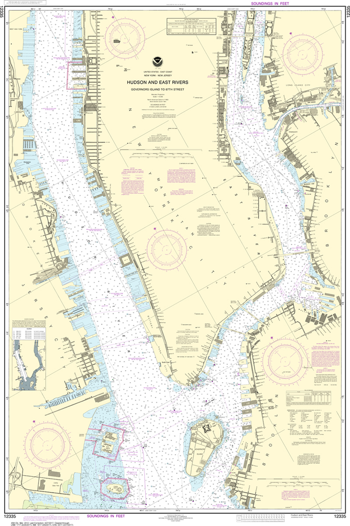
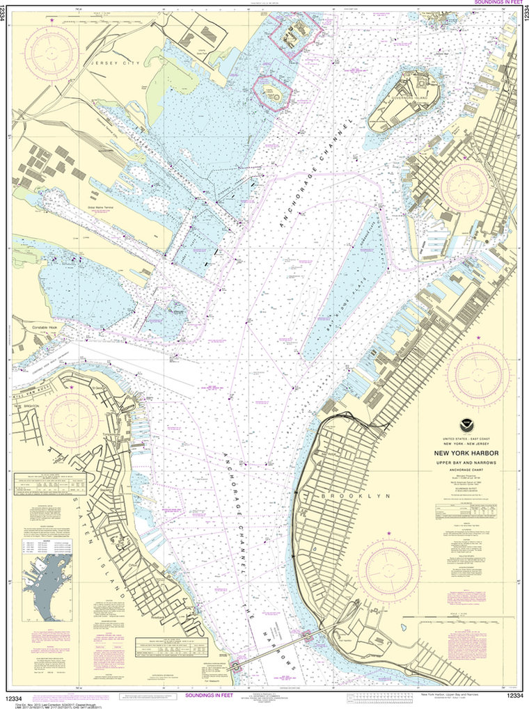
The chart you are viewing is NOT updated weekly and does NOT include all of the latest Notice to Mariners corrections. Region: Northeast Atlantic Latest Edition: 108 Ed. (1-Nov-2018) Last Correction: 20-Dec-2019 Cleared Through: NTM 47/2019 (23-Nov-2019)...
$8.95
Nautical placemat, 18" x 12" printed on Waterproof paper, almost indestructible, food and wine will wipe right off. Each placemat is a reproduction of a NOAA Nautical Chart for this particular area and completely reusable!When we were first looking to...
$26.95
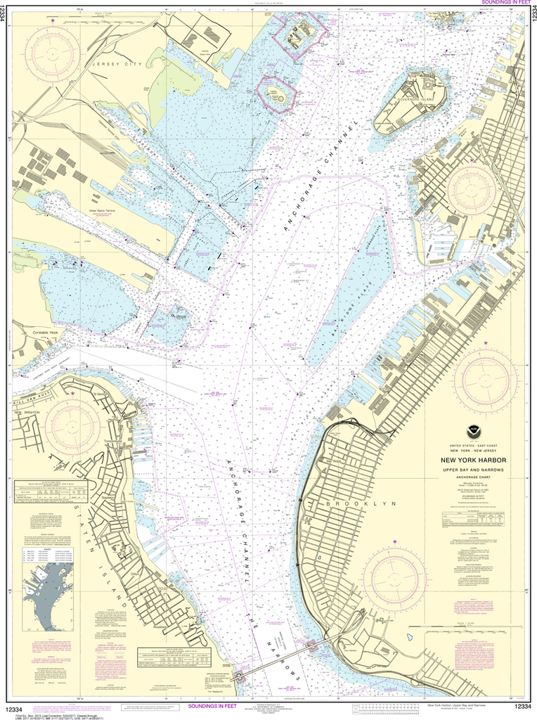
Region: Northeast Atlantic Latest Edition: 47 Ed. (1-Dec-2018) Last Correction: 25-Nov-2019 Cleared Through: NTM 47/2019 (23-Nov-2019) Paper Size: 50" x 36" Chart Image Size: 29" x 46" Scale: 1:80,000 Captain's Nautical Supplies is...
$8.95
Nautical placemat, 18" x 12" printed on Waterproof paper, almost indestructible, food and wine will wipe right off. Each placemat is a reproduction of a NOAA Nautical Chart for this particular area and completely reusable! When we were first looking...
$26.95
The chart you are viewing is NOT updated weekly and does NOT include all of the latest Notice to Mariners corrections. Region: Northeast Atlantic Latest Edition: 46 Ed. (1-Feb-2019) Last Correction: 1-Oct-2019 Cleared Through: NTM 47/2019...
$8.95
Printed on waterproof paper (almost indestructible), high resolution four color printing, 12" x 18", all the details of a nautical chart. Easy to clean up and look great in your dining room, kitchen table and even the boat. Completely reusable!...
$26.95
The chart you are viewing is NOT updated weekly and does NOT include all of the latest Notice to Mariners corrections. Region: Mid-Atlantic Latest Edition: 37 Ed. (1-Dec-2018) Last Correction: 5-Nov-2019 Cleared Through: NTM 47/2019 (23-Nov-2019)...
$26.95
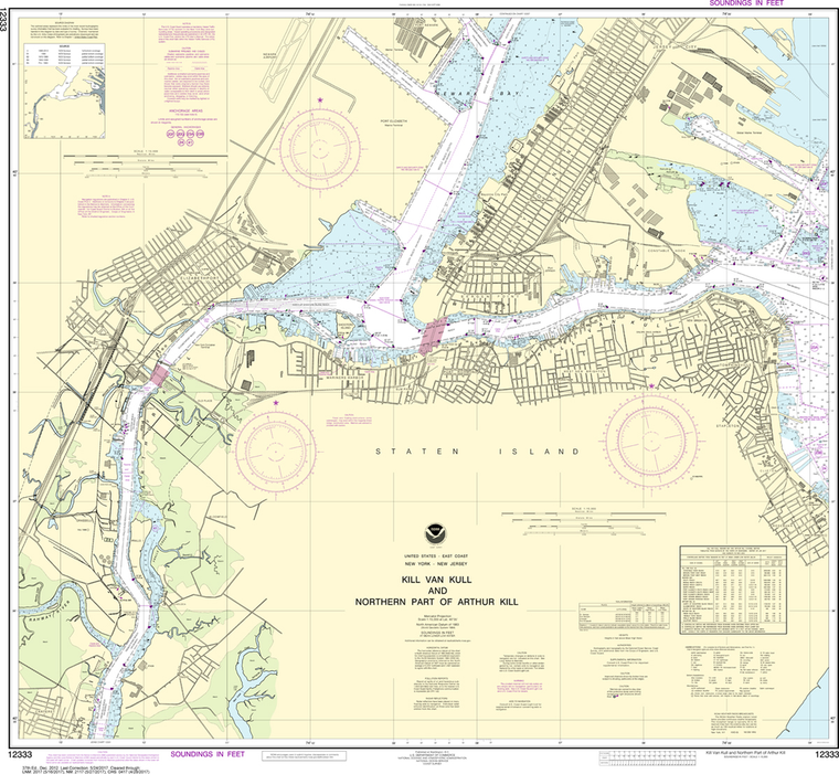
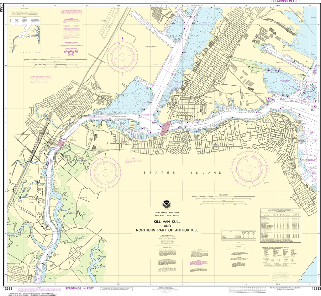
The chart you are viewing is NOT updated weekly and does NOT include all of the latest Notice to Mariners corrections. Region: Northeast Atlantic Latest Edition: 37 Ed. (1-Dec-2012) Last Correction: 31-Jul-2019 Cleared Through: NTM 47/2019...
$26.95
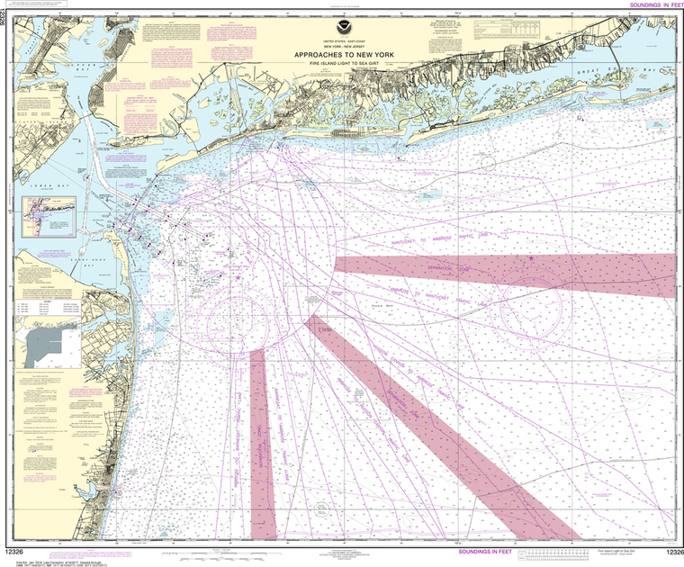
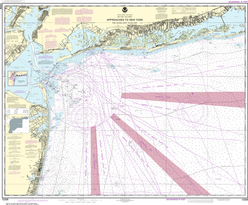
The chart you are viewing is NOT updated weekly and does NOT include all of the latest Notice to Mariners corrections. Region: Mid-Atlantic Latest Edition: 53 Ed. (1-Jan-2016) Last Correction: 25-Nov-2019 Cleared Through: NTM 47/2019 (23-Nov-2019) ...
$26.95
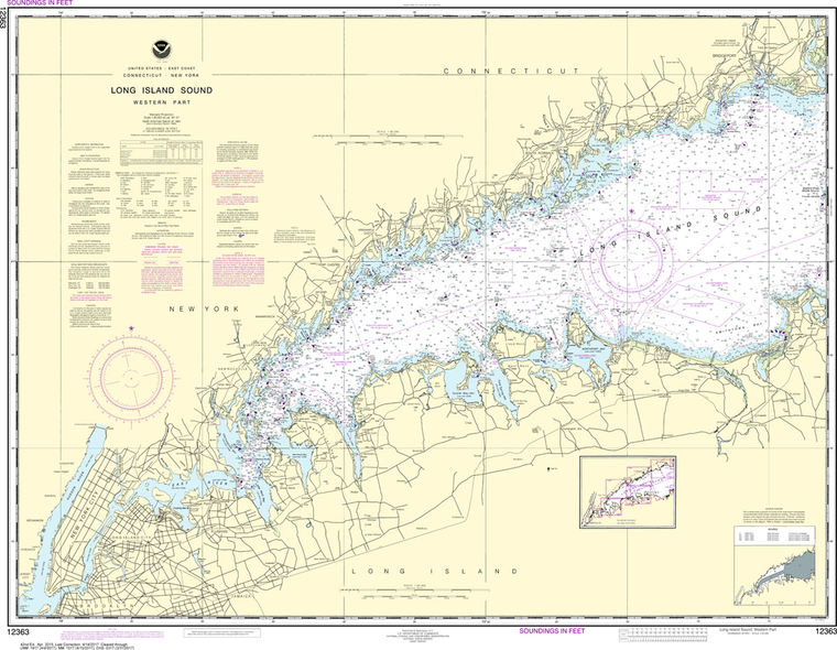
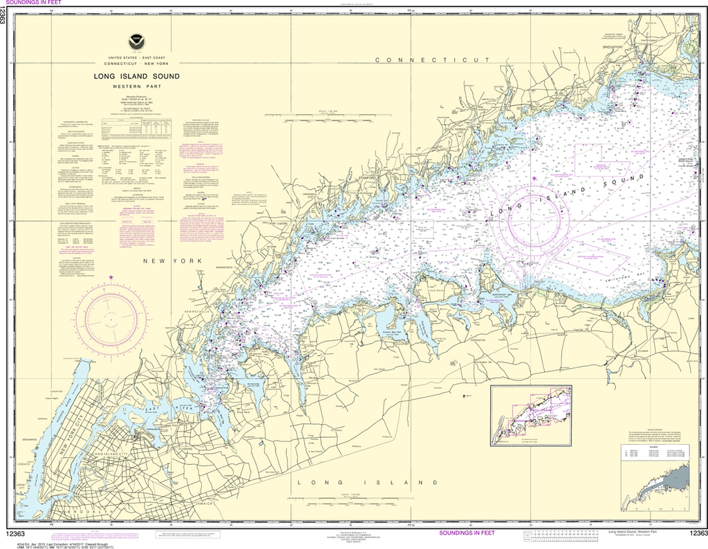
Region: Northeast Atlantic Latest Edition: 42 Ed. (1-Apr-2015) Last Correction: 31-Dec-2019 Cleared Through: NTM 47/2019 (23-Nov-2019) Paper Size: 44" x 36" Chart Image Size: 32" x 41" Scale: 1:80,000 Captain's Nautical Supplies is...
$26.95
The chart you are viewing is NOT updated weekly and does NOT include all of the latest Notice to Mariners corrections. Region: Northeast Atlantic Latest Edition: 23 Ed. (1-Apr-2019) Last Correction: 25-Nov-2019 Cleared Through: NTM 47/2019...
$49.95
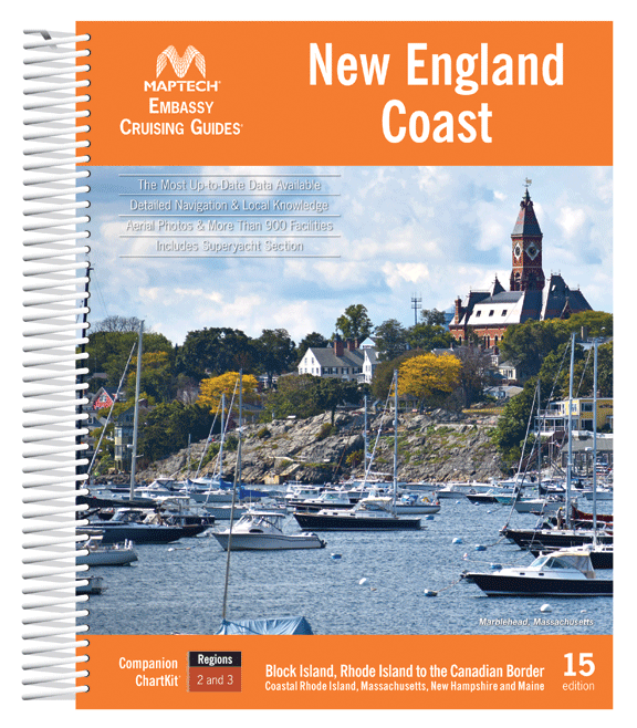
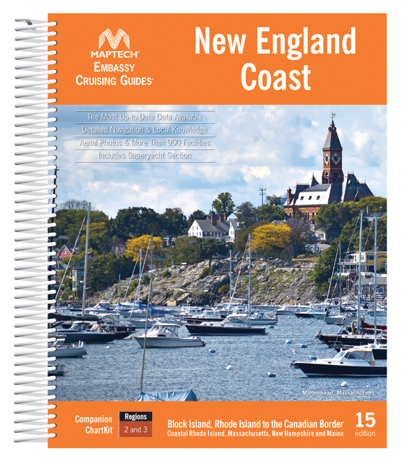
Block Island, Rhode Island to the Canadian Border. This edition includes detailed listings for more than 900 marinas divided into 15 cruising regions. Features include hundreds of GPS waypoints, full-color aerial photos, local navigation advice, and visitor tips for popular...
$26.95
The chart you are viewing is NOT updated weekly and does NOT include all of the latest Notice to Mariners corrections. Region: Northeast Atlantic Latest Edition: 28 Ed. (1-Oct-2014) Last Correction: 16-Aug-2019 Cleared Through: NTM 47/2019...
$26.95
The chart you are viewing is NOT updated weekly and does NOT include all of the latest Notice to Mariners corrections. Region: Northeast Atlantic Latest Edition: 73 Ed. (1-Dec-2018) Last Correction: 1-Oct-2019 Cleared Through: NTM 47/2019...
$19.95
2026 EDITION 2026 East Coast of North America Tide Tables contains full daily predictions for 76 reference ports and differences and other constants for about 2,600 stations in North America, South America, and Greenland. It also contains a table...
$49.95
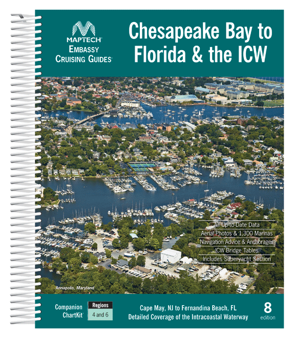
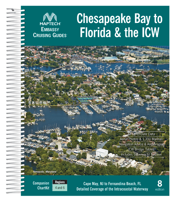
Cape May and Delaware Bay through the Chesapeake and Intracoastal Waterway and offshore to Fernandina Beach in northern Florida. Packed with detailed listings for marinas, local navigation advice, aerial photos, and an Intracoastal Waterway Bridge Table. 572 pages. Description Maptech's...
$8.95
Nautical placemat, 18" x 12" printed on Waterproof paper, almost indestructible, food and wine will wipe right off. Each placemat is a reproduction of a NOAA Nautical Chart for this particular area and completely reusable!When we were first looking to...
$49.95
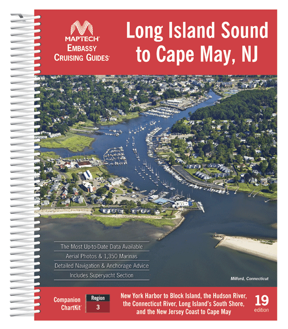
Covering New York Harbor to Block Island, the Hudson River, the Connecticut River, Long Island’s South Shore, and the New Jersey Coast to Cape May. Contains the most up-to-date data available, detailed navigation advice and anchorages, the best coastal dining...
$26.95
The chart you are viewing is NOT updated weekly and does NOT include all of the latest Notice to Mariners corrections. Region: Northeast Atlantic Latest Edition: 30 Ed. (1-Oct-2014) Last Correction: 21-Oct-2019 Cleared Through: NTM 47/2019...
$8.95
Nautical placemat, 18" x 12" printed on Waterproof paper, almost indestructible, food and wine will wipe right off. Each placemat is a reproduction of a NOAA Nautical Chart for this particular area and completely reusable!When we were first looking to...
$149.95
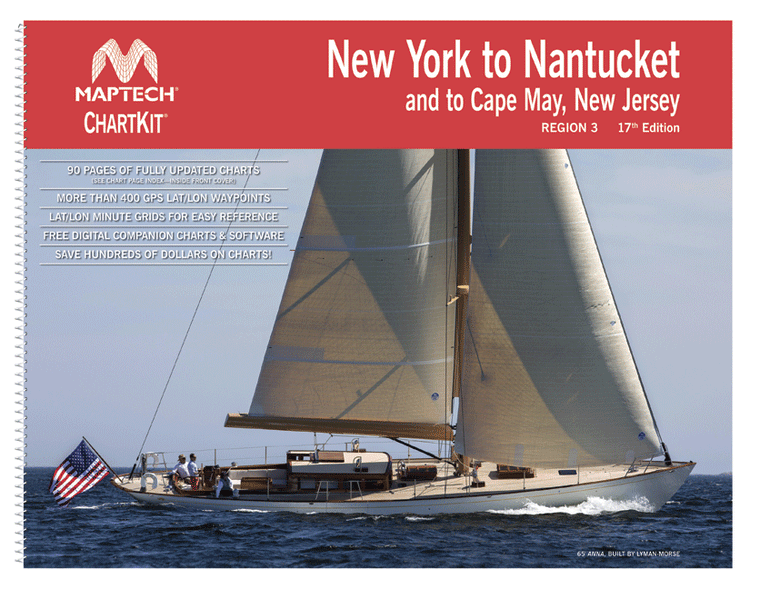
ChartKit® Region 3, 17th EditionNew York to Nantucket and to Cape May, New Jersey Maptech®’s ChartKits® are full-color reproductions of NOAA charts bundled together in large cruising regions.ChartKits® have been a mainstay of boating for generations—more than 1 million ChartKits®...
$8.95
Nautical placemat, 18" x 12" printed on Waterproof paper, almost indestructible, food and wine will wipe right off. Each placemat is a reproduction of a NOAA Nautical Chart for this particular area and completely reusable!When we were first looking to...
$8.95
Printed on waterproof paper (almost indestructible), high resolution four color printing, 18" x 12", all the details of a nautical chart. Easy to clean up and look great in your dining room, kitchen table and even the boat. Completely reusable!
$26.95
The chart you are viewing is NOT updated weekly and does NOT include all of the latest Notice to Mariners corrections. Region: Northeast Atlantic Latest Edition: 20 Ed. (1-Mar-2013) Last Correction: 26-Aug-2019 Cleared Through: NTM 47/2019...