$26.95
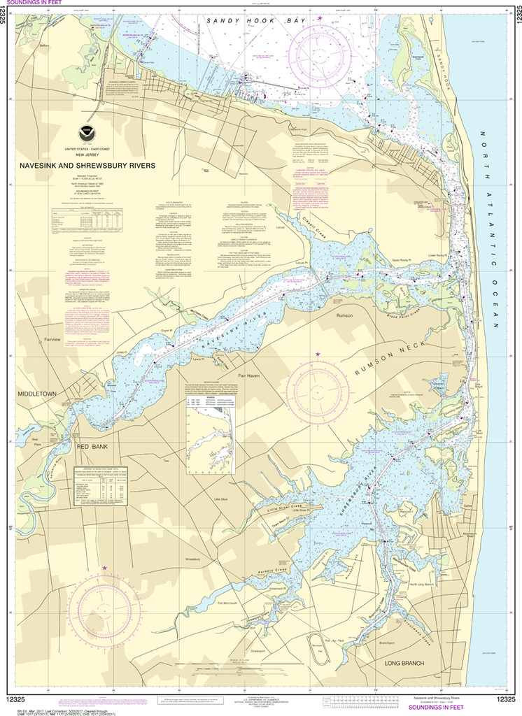
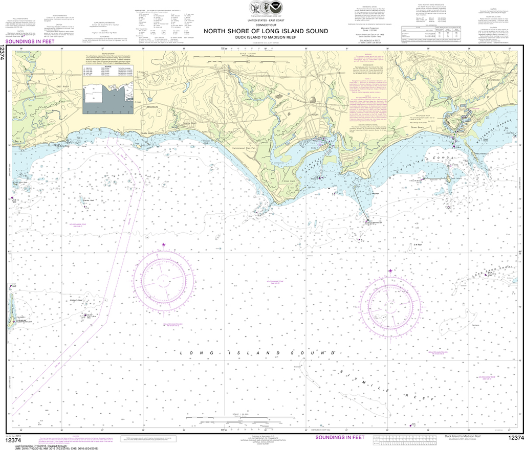
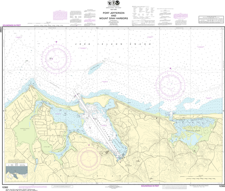
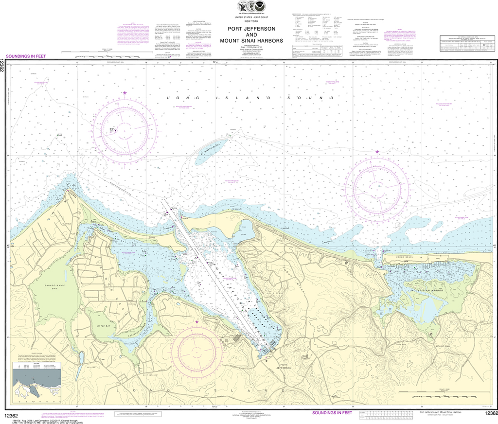
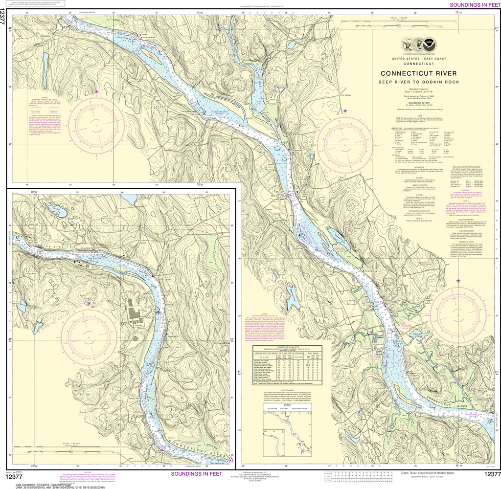
The chart you are viewing is NOT updated weekly and does NOT include all of the latest Notice to Mariners corrections. Region: Northeast Atlantic Latest Edition: 6 Ed. (1-Mar-2017) Last Correction: 30-Nov-2018 Cleared Through: NTM...
$52.00
2026 Edition! List of Lights 110: Radio Aids and Fog Signals covers Greenland, the East Coasts of North and South America (excluding continental U.S.A. except the east coast of Florida) and the West Indies. The List of Lights is published...
$49.95
Long Island Sound to Cape May, NJ, 20th Edition New York Harbor to Block Island, the Hudson River, the Connecticut River, Long Island's South Shore, and the New Jersey Coast to Cape May. Packed with detailed listings for 1,350 marinas,...
$8.95
Nautical placemat, 18" x 12" printed on Waterproof paper, almost indestructible, food and wine will wipe right off. Each placemat is a reproduction of a NOAA Nautical Chart for this particular area and completely reusable! When we were first looking to...
$8.95
Nautical placemat, 18" x 12" printed on Waterproof paper, almost indestructible, food and wine will wipe right off. Each placemat is a reproduction of a NOAA Nautical Chart for this particular area and completely reusable!When we were first looking to...
$8.95
Nautical placemat, 18" x 12" printed on Waterproof paper, almost indestructible, food and wine will wipe right off. Each placemat is a reproduction of a NOAA Nautical Chart for this particular area and completely reusable!When we were first looking to...
$20.99
In 1765, when Joseph Rotch sailed across the bay from Nantucket, he brought with him the skills and knowledge to start New Bedford's whaling industry. By 1830 the town was a larger whaling port than Nantucket, with an immense fleet...
$65.00
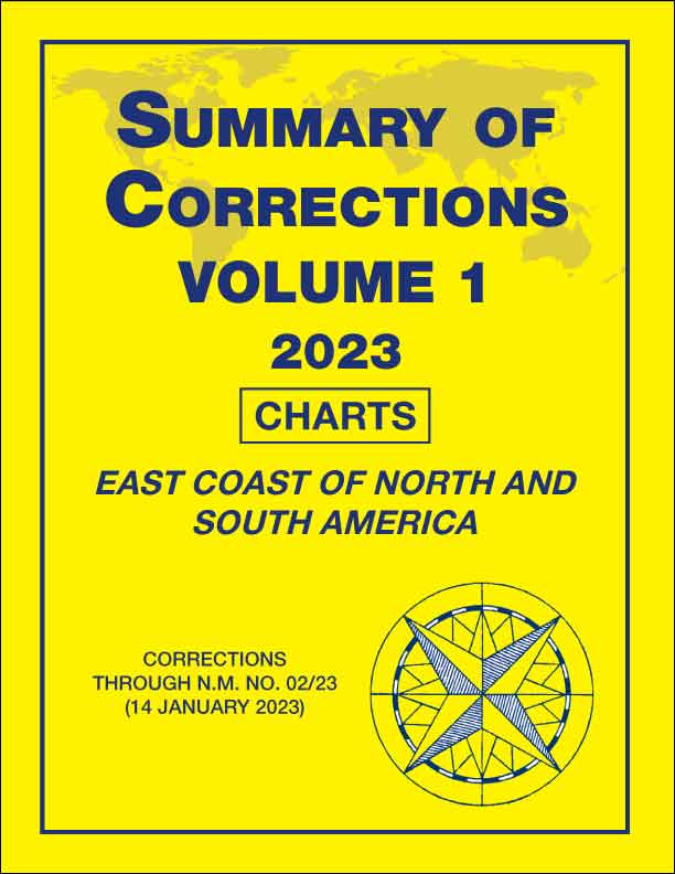
2023 Publication Out Now! The unclassified Summary of Corrections publications contain a reiterative compilation of all chart and publications corrections (less USCG Light Lists, NIMA List of Lights, and NIMA Hydrographic Catalog corrections) published against the current edition of each...
$8.95
Printed on waterproof paper (almost indestructible), high resolution four color printing, 12" x 18", all the details of a nautical chart. Easy to clean up and look great in your dining room, kitchen table and even the boat. Completely reusable!
$8.95
Printed on waterproof paper (almost indestructible), high resolution four color printing, 12" x 18", all the details of a nautical chart. Easy to clean up and look great in your dining room, kitchen table and even the boat. Completely reusable!
Sold Out
By James L BildnerWhen you navigate the coast of Maine, a picture is worth a thousand words A Visual Cruising Guide to the Maine Coast takes the guesswork out of navigating Maine's intricate, reef-strewn waters, ensuring that your next voyage...
Sold Out
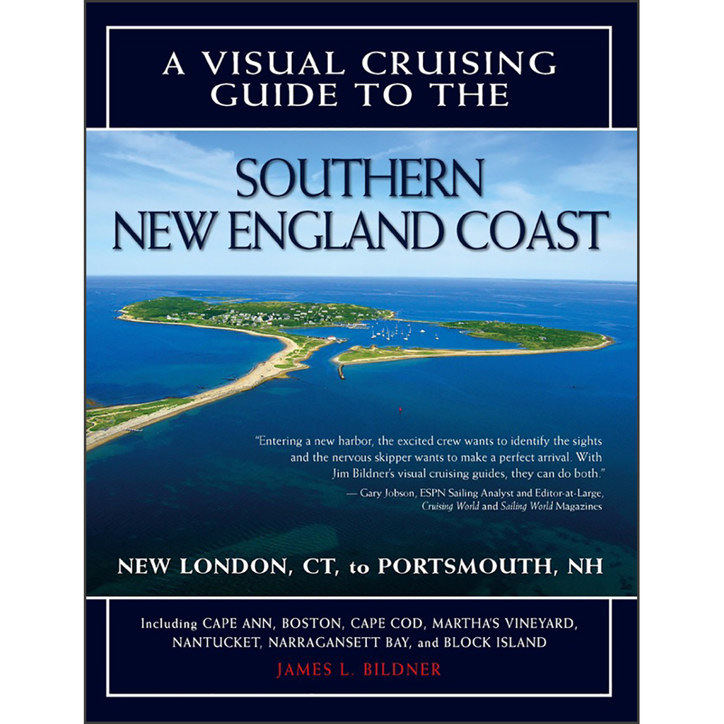
By James L. BildnerNew concept in navigation provides the perfect complement to your charts and traditional cruising guides This unique cruising guide features aerial photos matched with chart segments to guide you through channels and harbor approaches. Prepared with input...
$263.00
Great Sacandaga Lake 3-D Nautical Wood Chart (Medium) Size: 13.5" x 31" Laser-cut wooden relief map of Great Sacandaga Lake, featuring the Great Sacandaga Lake, in New York's Adirondack Park. Map is framed and ready to hang, a unique...
$26.95
The chart you are viewing is NOT updated weekly and does NOT include all of the latest Notice to Mariners corrections. Region: Northeast Atlantic Latest Edition: 16 Ed. (1-Feb-2019) Last Correction: 25-Nov-2019 Cleared Through: NTM 47/2019...
$26.95
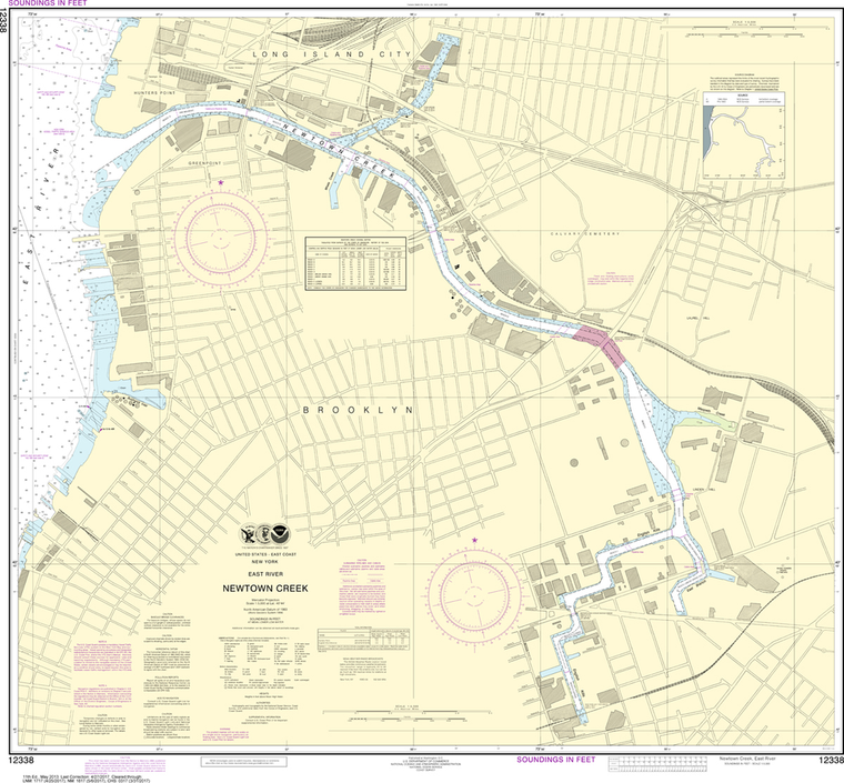
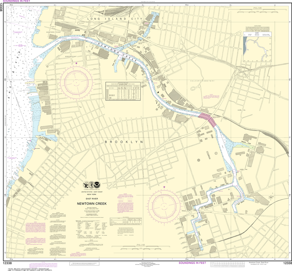
The chart you are viewing is NOT updated weekly and does NOT include all of the latest Notice to Mariners corrections. Region: Northeast Atlantic Latest Edition: 11 Ed. (1-May-2013) Last Correction: 13-Feb-2019 Cleared Through: NTM 47/2019...
$26.95
The chart you are viewing is NOT updated weekly and does NOT include all of the latest Notice to Mariners corrections. Region: Northeast Atlantic Paper Size: 30" x 36" Chart Image Size: 27" x 35" Scale:...
$26.95
The chart you are viewing is NOT updated weekly and does NOT include all of the latest Notice to Mariners corrections. Region: Northeast Atlantic Paper Size: 43" x 36" Chart Image Size: 34" x 40" Scale:...
$26.95
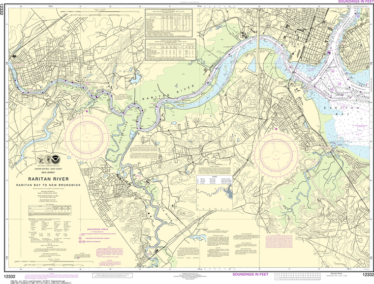
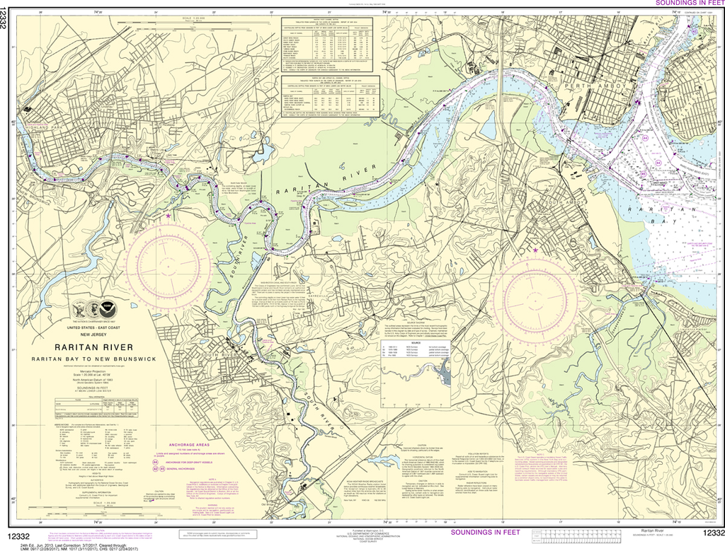
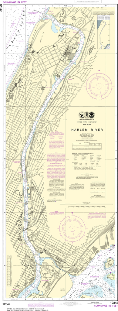
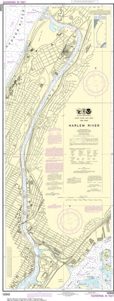
The chart you are viewing is NOT updated weekly and does NOT include all of the latest Notice to Mariners corrections. Region: Northeast Atlantic Latest Edition: 24 Ed. (1-May-2013) Last Correction: 2-Mar-2017 Cleared Through: NTM 47/2019...
$26.95
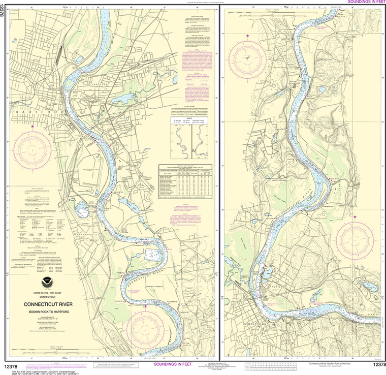
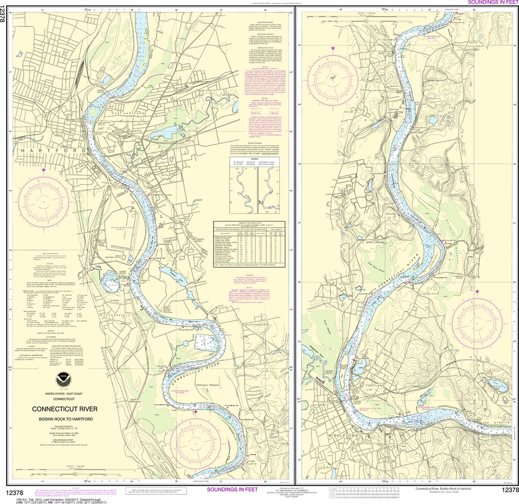
The chart you are viewing is NOT updated weekly and does NOT include all of the latest Notice to Mariners corrections. Region: Northeast Atlantic Latest Edition: 15 Ed. (1-Feb-2012) Last Correction: 1-Oct-2019 Cleared Through: NTM 47/2019...
$26.95
The chart you are viewing is NOT updated weekly and does NOT include all of the latest Notice to Mariners corrections. Region: Northeast Atlantic Latest Edition: 15 Ed. (1-Sep-2012) Last Correction: 1-Oct-2019 Cleared Through: NTM 47/2019...