WAGGONER TRIO- ON SALE NOW!!!
- Shop by Department
- Nautical Charts
- New Releases
- Marine Education Textbooks
- About Us
- +Shop by Department
- +Nautical Charts
- New Releases
- +Marine Education Textbooks
- +About Us
- Contact Us
- FAQ
- Repair Services
- Sign in
$61.50
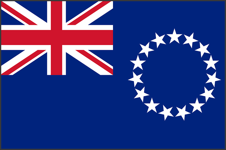
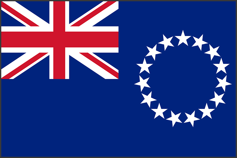
Flag of the Cook Islands. Made in the U.S. of 100% fade-resistant nylon with canvas heading and brass grommets. Great for indoor, outdoor, and marine use. Available in multiple sizes. 100% Heavyweight SolarGuard Nylon Strong Canvas Heading & Large Brass...
$21.95
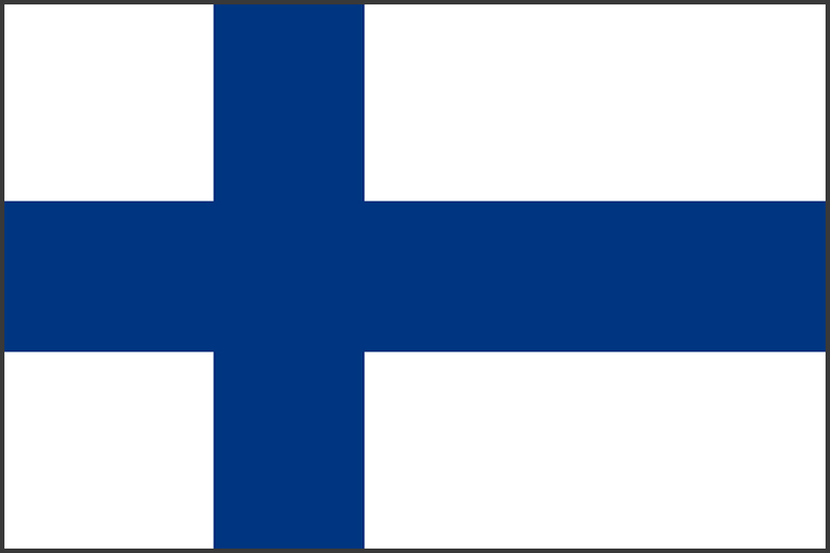
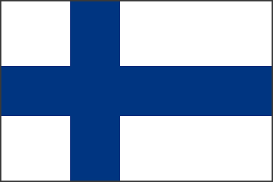
Flag of the Republic of Finland. Made in the U.S. of 100% fade-resistant nylon with canvas heading and brass grommets. Great for indoor, outdoor, and marine use. Available in multiple sizes. 100% Heavyweight SolarGuard Nylon Strong Canvas Heading & Large...

$36.75
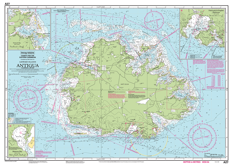
Print Size: 36" x 30" Scale: 1:50,000 Captain's Supplies is a Print-on-Demand nautical chart dealer for Imray Charts. Charts are printed on high-quality heavy paper with waterproof ink. Other options available.

$36.75
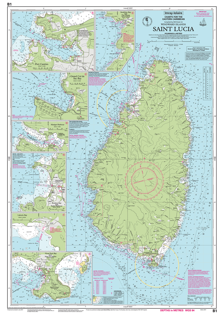
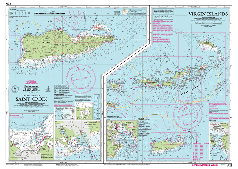
Print Size: 36" x 29" Scale: 1:75,000 Captain's Supplies is a Print-on-Demand nautical chart dealer for Imray Charts. Charts are printed on high-quality heavy paper with waterproof ink. Other options available.

$36.75
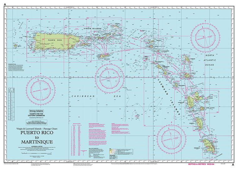
Print Size: 36" x 30" Scale: 1:1,000,000 Captain's Supplies is a Print-on-Demand nautical chart dealer for Imray Charts. Charts are printed on high-quality heavy paper with waterproof ink. Other options available.
$36.75
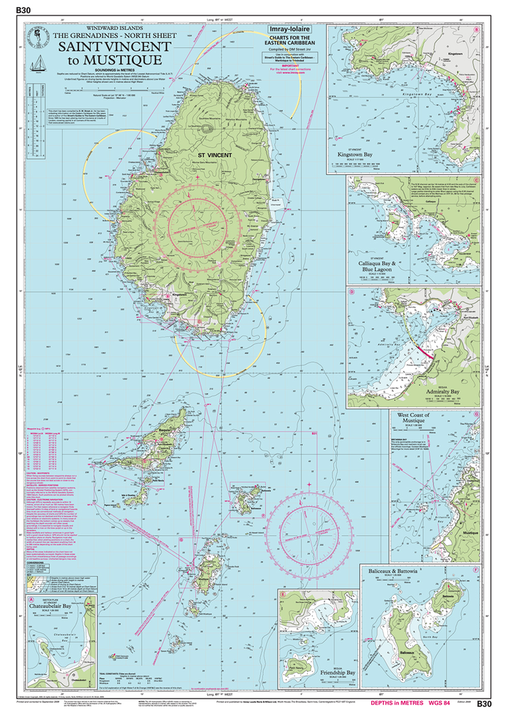
Print Size: 36" x 30" Scale: 1:285,000 Captain's Supplies is a Print-on-Demand nautical chart dealer for Imray Charts. Charts are printed on high-quality heavy paper with waterproof ink. Other options available.

$36.75
Print Size: 36" x 40" Scale: 1:90,000 Captain's Supplies is a Print-on-Demand nautical chart dealer for Imray Charts. Charts are printed on high-quality heavy paper with waterproof ink. Other options available.

$26.75
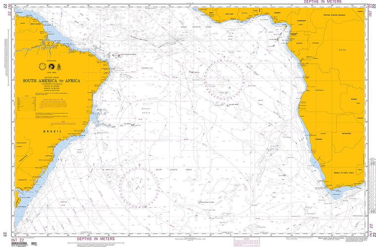
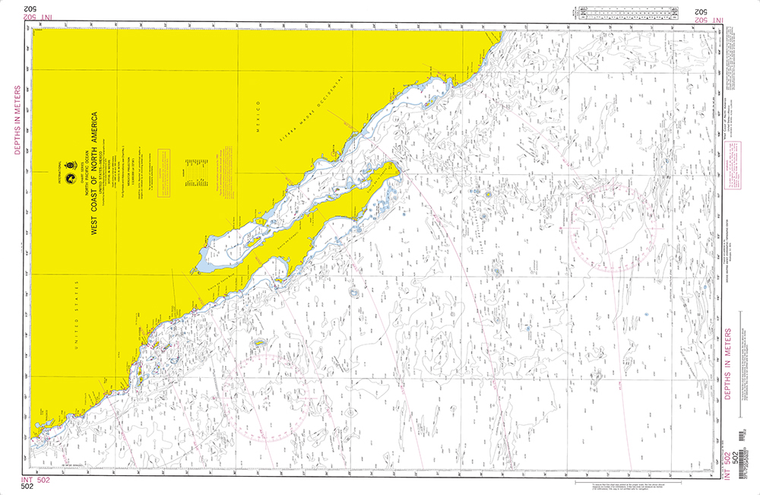
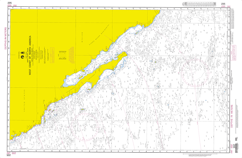
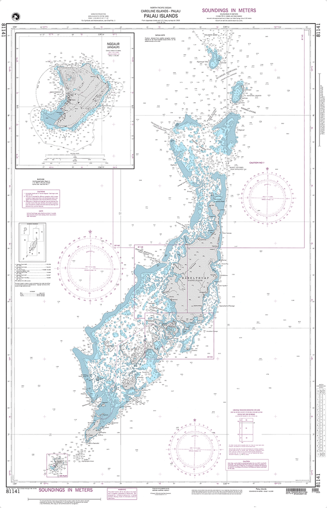
Scale: 1:2,802,000 Captain's Supplies is a Print-on-Demand nautical chart dealer for NGA Charts. Charts are printed on high-quality heavy paper with waterproof ink. Other options available. NGA charts are printed using the most recent data provided by the National Geospatial-Intelligence...

$26.75
Scale: 1:2,921,400 Captain's Supplies is a Print-on-Demand nautical chart dealer for NGA Charts. Charts are printed on high-quality heavy paper with waterproof ink. Other options available. NGA charts are printed using the most recent data provided by the National Geospatial-Intelligence...

$26.75
Scale: 1:600,000 Captain's Supplies is a Print-on-Demand nautical chart dealer for NGA Charts. Charts are printed on high-quality heavy paper with waterproof ink. Other options available. NGA charts are printed using the most recent data provided by the National Geospatial-Intelligence...

$26.75
Scale: 1:10,000,000 Captain's Supplies is a Print-on-Demand nautical chart dealer for NGA Charts. Charts are printed on high-quality heavy paper with waterproof ink. Other options available. NGA charts are printed using the most recent data provided by the National Geospatial-Intelligence...
$26.75
Scale: 1:3,500,000 Captain's Supplies is a Print-on-Demand nautical chart dealer for NGA Charts. Charts are printed on high-quality heavy paper with waterproof ink. Other options available. NGA charts are printed using the most recent data provided by the National Geospatial-Intelligence...
$26.75
Scale: 1:165,000 Captain's Supplies is a Print-on-Demand nautical chart dealer for NGA Charts. Charts are printed on high-quality heavy paper with waterproof ink. Other options available. NGA charts are printed using the most recent data provided by the National Geospatial-Intelligence...

$26.75
Scale: N/A Captain's Supplies is a Print-on-Demand nautical chart dealer for NGA Charts. Charts are printed on high-quality heavy paper with waterproof ink. Other options available. NGA charts are printed using the most recent data provided by the National Geospatial-Intelligence...

Sold Out
by Jimmy and Ivan Cornell Cornell's Ocean Atlas is the first significant innovation in pilot charts since pilot charts were developed by Lieutenant Maury of the US Navy in the mid-1800s. The first edition, published in 2012, was based on...

$34.95
By Bruce BauerLoran and GPS notwithstanding, there will always be a place for the sextant aboard any blue-water boat, if for no other reason than the thrill and mystery of finding one's position on earth by gazing at the heavens....

$30.00
By C. Dale NouseIf you've never experienced the tension of failed equipment aboard or had to explain to guests why there is no more fresh water or panicked when thick fog closed in just after you had forgotten to make...

Sold Out
By Miner K Brotherton & Edwin R ShermanThe 12-Volt Bible for Boats is a clear, nonthreatening introduction to the 12-volt electrical systems used on small boats to power everything from reading lights to bilge pumps. This second edition is thoroughly...

$49.95
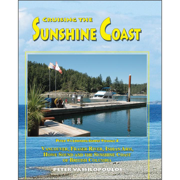
By Peter VassilopoulosThe Sunshine Coast is among the most popular cruising destinations in the Pacific Northwest. This guide takes the reader from Point Roberts and the Fraser River to Howe Sound and Indian Arm and follows the Sunshine Coast to...

$23.75
The chart you are viewing is NOT updated weekly and does NOT include all of the latest Notice to Mariners corrections. Region: Northeast Atlantic Paper Size: 48" x 36" Chart Image Size: 35" x 44" Scale: 1:10,000 Captain's...

$23.75
Region: Alaska Coast Latest Edition: 6 Ed. (1-May-2014) Last Correction: 10-Dec-2015 Cleared Through: NTM 47/2019 (23-Nov-2019) Paper Size: 50" x 36" Chart Image Size: 46" x 35" Scale: 1:40,000 Captain's Nautical Supplies is...
$23.75
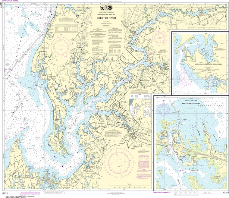
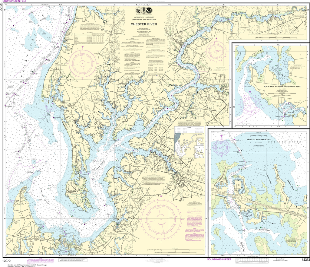
Region: Mid-Atlantic Latest Edition: 33 Ed. (1-Jan-2017) Last Correction: 13-Nov-2019 Cleared Through: NTM 47/2019 (23-Nov-2019) Paper Size: 44" x 36" Chart Image Size: 35" x 40" Scale: 1:40,000 Captain's Nautical Supplies is a...

$23.75
Region: Alaska Coast Latest Edition: 7 Ed. (1-May-2014) Last Correction: 11-Dec-2015 Cleared Through: NTM 47/2019 (23-Nov-2019) Paper Size: 50" x 36" Chart Image Size: 32" x 46" Scale: 1:40,000 Captain's Nautical Supplies is...