WAGGONER TRIO- ON SALE NOW!!!
- Shop by Department
- Nautical Charts
- New Releases
- Marine Education Textbooks
- About Us
- +Shop by Department
- +Nautical Charts
- New Releases
- +Marine Education Textbooks
- +About Us
- Contact Us
- FAQ
- Repair Services
- Sign in
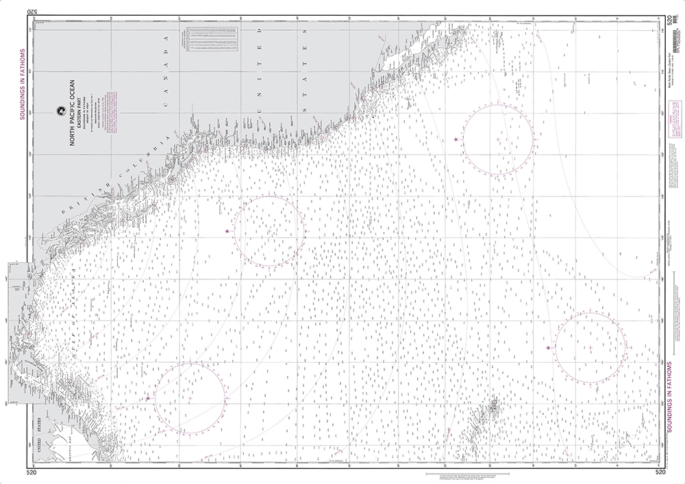
NGA-520
$26.75
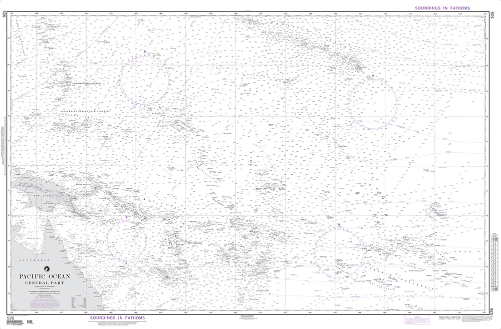
Scale: 1:5,990,160
Captain's Supplies is a Print-on-Demand nautical chart dealer for NGA Charts. Charts are printed on high-quality heavy paper with waterproof ink. Other options available.
NGA charts are printed using the most recent data provided by the National Geospatial-Intelligence Agency (NGA). Much of this data may no longer be current. Boaters are advised to consult the "Corrected through NM ##/##" note in the margin of the chart for additional information and apply all Notice To Mariners corrections that have been issued subsequently.
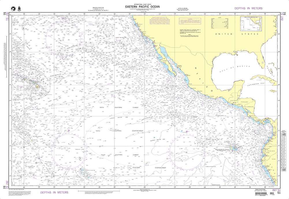
$26.75
Scale: 1:10,000,000 Captain's Supplies is a Print-on-Demand nautical chart dealer for NGA Charts. Charts are printed on high-quality heavy paper with waterproof ink. Other options available. NGA charts are printed using the most recent data provided by the National Geospatial-Intelligence...
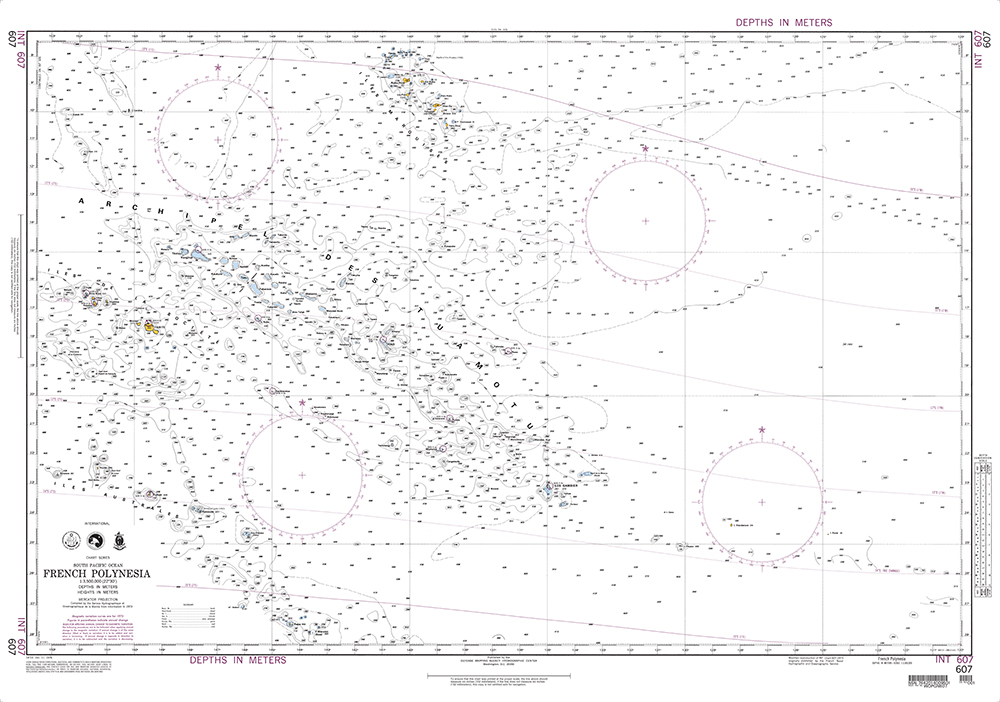
$26.75
Scale: 1:3,500,000 Captain's Supplies is a Print-on-Demand nautical chart dealer for NGA Charts. Charts are printed on high-quality heavy paper with waterproof ink. Other options available. NGA charts are printed using the most recent data provided by the National Geospatial-Intelligence...
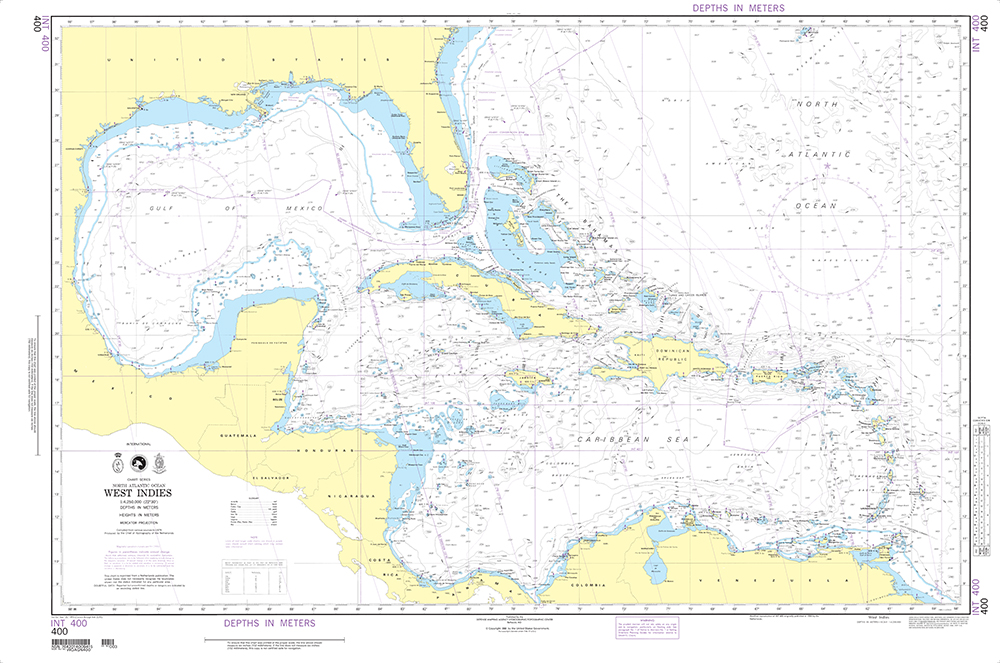
$26.75
Scale: 1:4,250,000 Captain's Supplies is a Print-on-Demand nautical chart dealer for NGA Charts. Charts are printed on high-quality heavy paper with waterproof ink. Other options available. NGA charts are printed using the most recent data provided by the National Geospatial-Intelligence...
$26.75
Scale: 1:8,433,180 Captain's Supplies is a Print-on-Demand nautical chart dealer for NGA Charts. Charts are printed on high-quality heavy paper with waterproof ink. Other options available. NGA charts are printed using the most recent data provided by the National Geospatial-Intelligence...


