WAGGONER TRIO- ON SALE NOW!!!
- Shop by Department
- Nautical Charts
- New Releases
- Marine Education Textbooks
- About Us
- +Shop by Department
- +Nautical Charts
- New Releases
- +Marine Education Textbooks
- +About Us
- Contact Us
- FAQ
- Repair Services
- Sign in


WoodCharts-MONT-D2L
$258.00
Laser-cut wooden relief map of Monterey Bay, featuring Monterey Bay, California. Map is framed and ready to hang, a unique and beautiful gift of artwork for sailors and land-lovers alike.
Monterey Bay is a bay of the Pacific Ocean located on the coast of California. Santa Cruz is located at the north end of the bay and the city of Monterey is on the Monterey Peninsula at the south end. The Monterey Canyon, one of the largest underwater canyons in the world, begins off the coast of Moss Landing, exactly in the center of Monterey Bay.
Points of Interest: Santa Cruz, Monterey, Natural Bridges State Beach, Sunset State Beach, Seaside, Salinas, Carmel Bay, Spanish Bay, Marina State Beach, Watsonville, Davenport, and Soquel Cove.
Wood Charts are based on soundings and measurements from bathymetric and nautical charts. Each depth layer is laser-cut from sheets of Baltic birch and glued together "bread and butter" style to create the contours and shorelines of striking waterways. Select layers are hand-stained a rich blue-green color to discern water from land, and major byways are etched into the land. The whole work is framed in a custom, solid wood frame and protected with a sheet of durable, ultra-transparent acrylic.
This product is not stocked at Captain's store, but may be special-ordered from the manufacturer or distributor.
Please allow up to two weeks for your special-ordered item to arrive. Captain's will contact you if your item is expected to take longer, or if your item is out of stock at the supplier.
Returns of Special-Order Items:
Since this is a specialty item, there are no returns or exchanges for this product.
$19.95
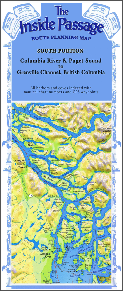
Columbia River & Puget Sound to Grenville Channel, British Columbia Plot your own itinerary and prepare for your trip of a lifetime through the Inside Passage! Route Planning Maps allow a bird’s-eye view of the coastline in one view. Use...
$26.75
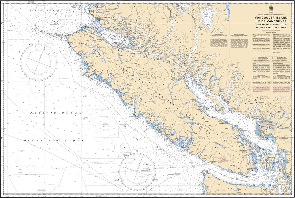
Region: Pacific Coast Paper Size: 48" x 36" Chart Image Size: 44" x 31?" Scale: 1:525,000 Captain's Supplies is a Print-on-Demand nautical chart dealer for Canadian Waters. All charts are printed up-to-date and corrected to the...
$49.95
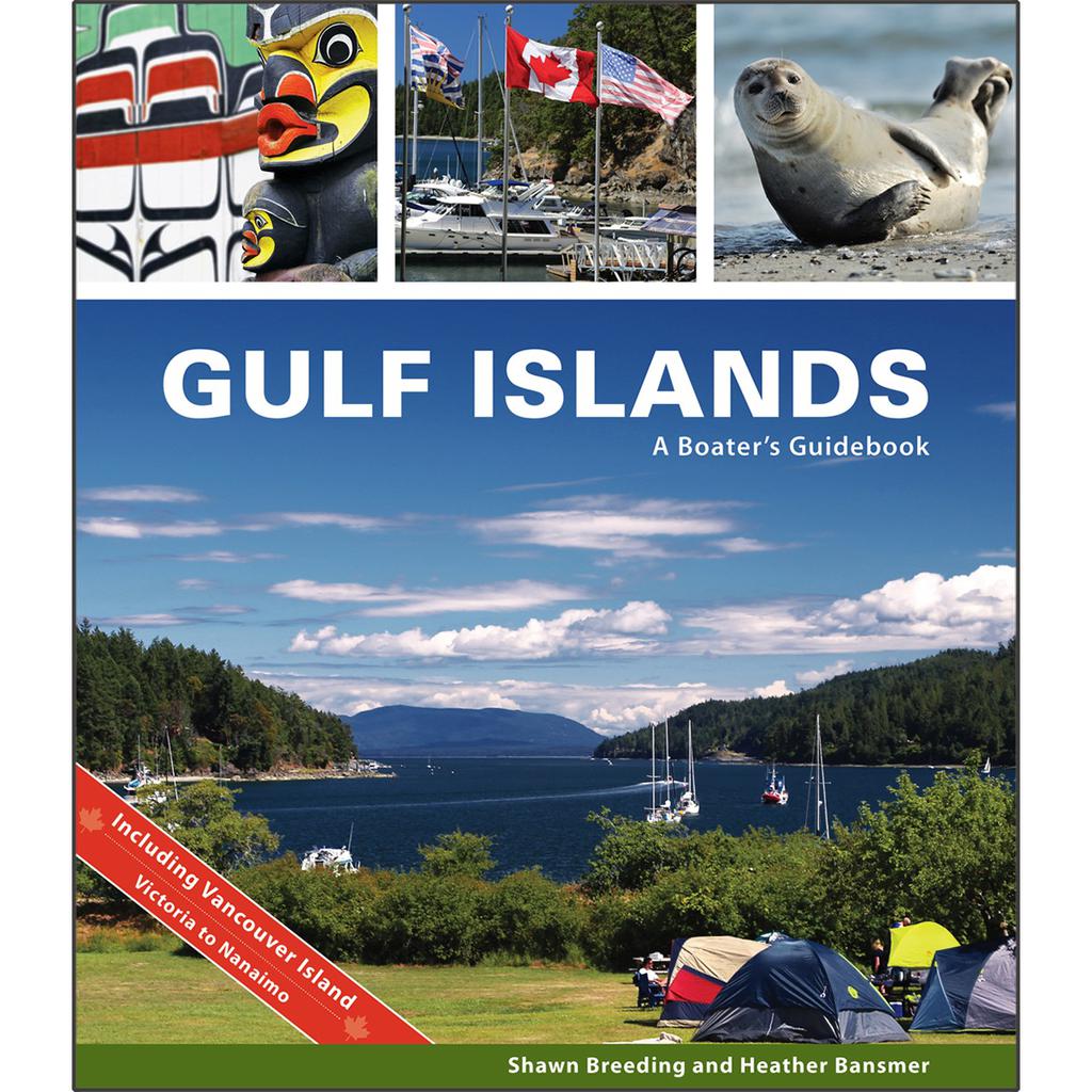
by Heather Bansmer & Shawn Breeding Gulf Islands: A Boater’s Guidebook, was created for the adventurer, the mariner or charterer who wants to get the ultimate experience out of their Canadian cruise and to do it confidently. This guide covers...

$16.20
Print chart on waterproof plastic sheet (add two to three business days to order processing).


