WAGGONER TRIO- ON SALE NOW!!!
- Shop by Department
- Nautical Charts
- New Releases
- Marine Education Textbooks
- About Us
- +Shop by Department
- +Nautical Charts
- New Releases
- +Marine Education Textbooks
- +About Us
- Contact Us
- FAQ
- Repair Services
- Sign in

$79.95
$124.95
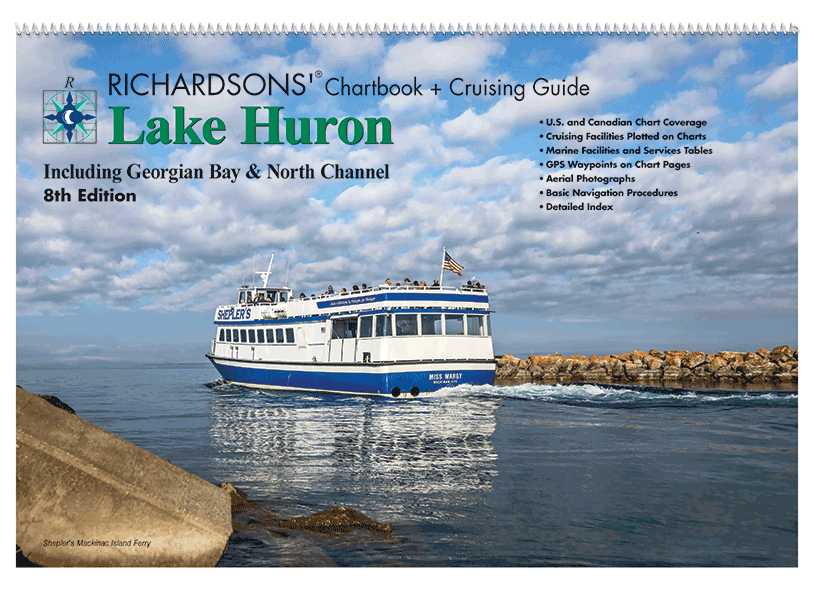
NEW CHARTBOOK & CRUISING GUIDE Includes: North Channel, Georgian Bay, west through the Straits of Mackinac, south to Sarnia, north to St. Joseph Island. - 12" x 18"- Spiral Bound- Cruising Information- Marine Facilities- Aerial Harbor Photographs- GPS Waypoint Labels-...
$99.95
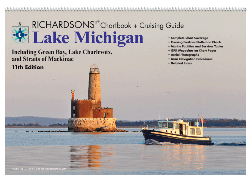
Lake Michigan Chartbook + Cruising Guide, 11th Ed. Includes: Green Bay, Lake Charlevoix and the Straits of Mackinac. - 12" x 18"- Spiral Bound- Cruising Information- Marine Facilities- Aerial Harbor Photographs- GPS Waypoint Labels- Navigational Reference Data
$114.95
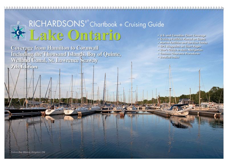
Lake Ontario Chartbook & Cruising Guide, 7th Ed. Coverage from Hamilton to Cornwall including the Thousand Islands, Bay of Quinte, Welland Canal, St. Lawrence Seaway. Cover photography: Al MacLachlan. • 12" x 18"• Spiral Bound• U.S. and Canadian Chart Coverage•...
$99.95
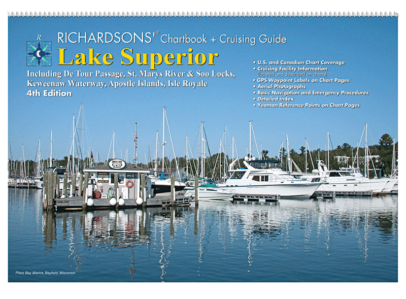
Lake Superior Chartbook + Cruising Guide,�4th Ed. Includes: Isle Royale, Apostle Islands, Keweenaw Waterway, St. Mary's River, Soo Locks and the De Tour Passage. 12" x 18"Spiral BoundCruising InformationMarine FacilitiesAerial Harbor Photographs GPS Waypoint LabelsNavigational Reference Data


