WAGGONER TRIO- ON SALE NOW!!!
- Shop by Department
- Nautical Charts
- New Releases
- Marine Education Textbooks
- About Us
- +Shop by Department
- +Nautical Charts
- New Releases
- +Marine Education Textbooks
- +About Us
- Contact Us
- FAQ
- Repair Services
- Sign in
$49.99
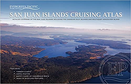
This atlas is a "must have" for cruising the San Juan Islands. It contains reproductions of large-scale NOAA charts of the San Juan Islands plus overview charts of the Gulf Islands and major gateways to the San Juan Islands.
11" x 17", spiral bound 66 pages Published 1993, 1997, 2000, 2004, 2007. Completely Revised 2018.
A Safety Chart of both San Juan and Gulf islands indicates hazardous areas for boaters. Instructions are provided for navigating some of these problem areas. Aerial photos of selected bays, harbors, passages and channels give an important added perspective for navigating the San Juan and Gulf Islands, and an index of over 200 locations helps boaters easily locate their destinations.

$39.95
Now in its 48th year, Northwest Boat Travel is a unique cruising guide containing twenty geographically arranged chapters presenting descriptions and useful information about the ports-of-call, anchorages, bays, inlets, waterways, marine parks, marina and resort facilities, fuel docks, services, and...

$46.00 $49.00
What's New In The 2026 Waggoner Cruising Guide: 528 PAGES OF ESSENTIAL PNW BOATING INFOINSIDE PASSAGE LOCAL KNOWLEDGEBORDER CROSSING PROCEDURESENTERTAINING NAUTICAL PET TALES SIDEBARS300+ DETAILED MAPS & DOCK DIAGRAMS500+ MARINAS & MARINE PARKS780+ ANCHORAGES Waggoner Cruising Guide is the...
$90.00
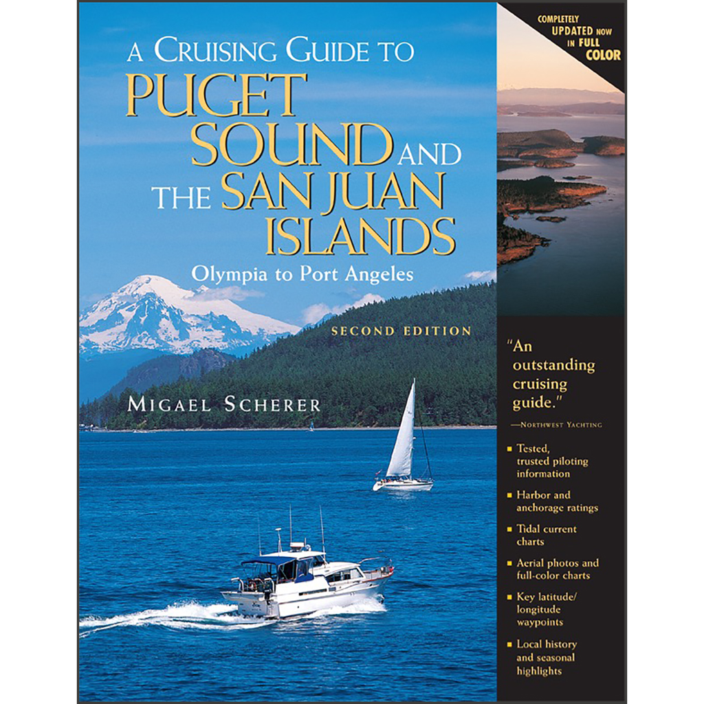
By Migael M. SchererA Cruising Guide to Puget Sound and the San Juan Islands has earned an outstanding reputation for the accuracy of its piloting instructions, the clarity of its writing, and the high quality of its information. This second...
$17.95
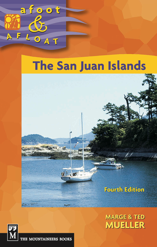
Currently Out Of Print by Marge Mueller and Ted Mueller Whether you come by ferry, kayak, or sailboat, this updated edition of Afoot & Afloat is a must for enjoying the best outdoor adventures in the San Juan Islands. It’s...


