WAGGONER TRIO- ON SALE NOW!!!
- Shop by Department
- Nautical Charts
- New Releases
- Marine Education Textbooks
- About Us
- +Shop by Department
- +Nautical Charts
- New Releases
- +Marine Education Textbooks
- +About Us
- Contact Us
- FAQ
- Repair Services
- Sign in

$49.95
11" x 17", spiral bound
138 pages
Revised 2014
This popular atlas of the Columbia, Snake and Willamette rivers contains large-scale reproductions of NOAA charts for the Columbia River from its mouth to the Tri-Cities, the Snake River from the Tri-Cities to Lewiston, Idaho, and the Willamette River from Portland to Newberg. Major facilities (& their services) along these rivers are indicated on the charts.
A special chart of dangerous bar areas for the mouth of the Columbia River is included, along with charts of Ilwaco Harbor, Bonneville Dam, Hood River, The Dalles, and John Day River. Also included are coastal charts extending north to Destruction Island, WA, & south to Yaquina Head, OR, charts of the Upper Snake River (to Hells Canyon Dam), a guide to the Hanford Reach, a Lower Snake Recreational guide, and the United States Coast Pilot for the Columbia, Willamette, & Snake Rivers.
This nautical atlas is an absolute essential for boaters navigating these major rivers of the Pacific Northwest.
$49.95
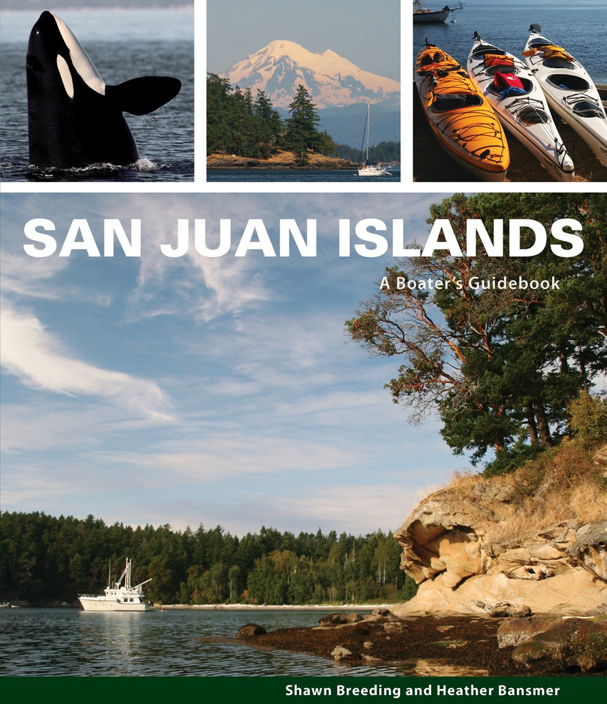
by Heather Bansmer & Shawn Breeding 2nd Edition San Juan Islands: A Boater’s Guidebook, is the newest, most up to date guide featuring the vibrant and pristine anchorages of Washington state’s cherished San Juan Islands

$46.00 $49.00
What's New In The 2026 Waggoner Cruising Guide: 528 PAGES OF ESSENTIAL PNW BOATING INFOINSIDE PASSAGE LOCAL KNOWLEDGEBORDER CROSSING PROCEDURESENTERTAINING NAUTICAL PET TALES SIDEBARS300+ DETAILED MAPS & DOCK DIAGRAMS500+ MARINAS & MARINE PARKS780+ ANCHORAGES Waggoner Cruising Guide is the...
$49.95
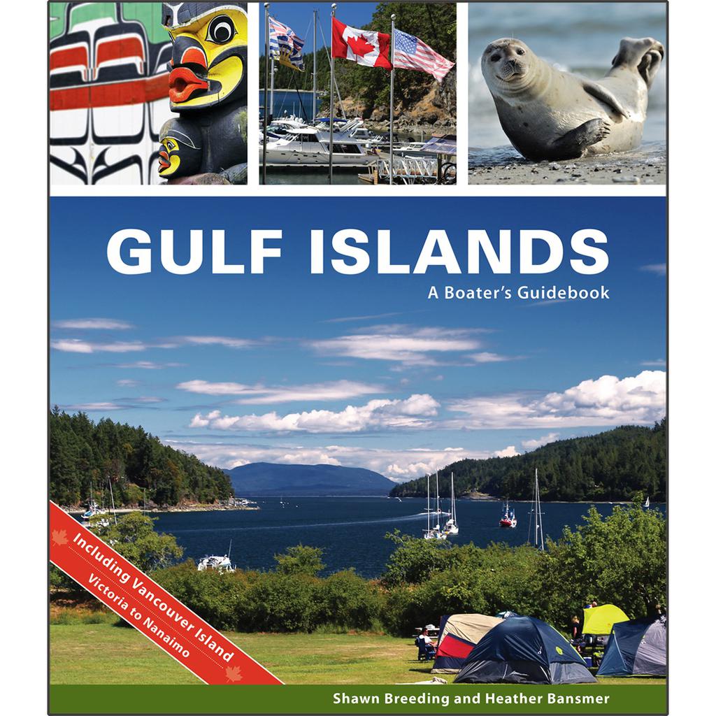
by Heather Bansmer & Shawn Breeding Gulf Islands: A Boater’s Guidebook, was created for the adventurer, the mariner or charterer who wants to get the ultimate experience out of their Canadian cruise and to do it confidently. This guide covers...
$59.95
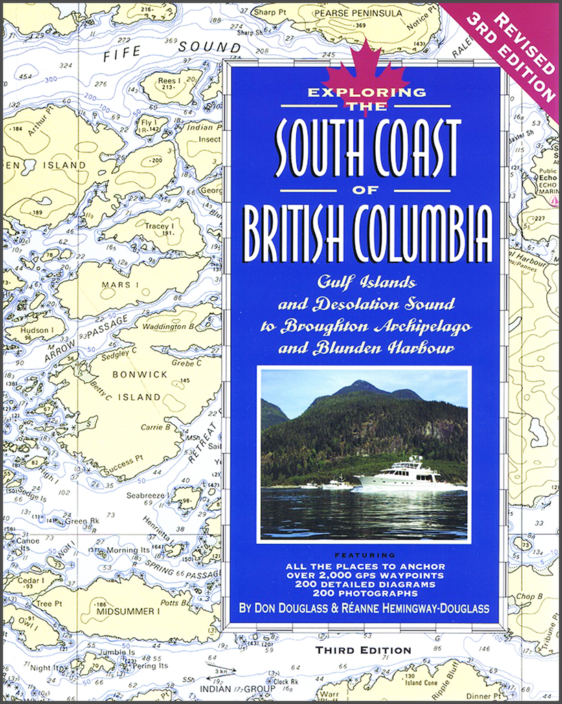
By Don Douglass & Reanne Hemingway-Douglass Features entrance waypoints, as well as anchor-site waypoints! The South Coast of British Columbia is designed by experts to give small boat skippers the kind of accurate, up-to-date information they need to cruise the...


