
- Shop by Department
- Nautical Charts
- Digital Ebooks
- New Releases
- Marine Education Textbooks
- About Us
- +Shop by Department
- +Nautical Charts
- Digital Ebooks
- New Releases
- +Marine Education Textbooks
- +About Us
- Contact Us
- FAQ
- Repair Services
- Sign in


SKU-93
$21.95
2027 Daily Tidelog - Northern California
Including San Francisco Bay and Delta, south to Monterey Bay and north to the Nehalem River.
Daily Tidelog Graphics are based on NOAA predictions for San Francisco at the Golden Gate Bridge. Time and strength of maximum currents and times of slack water are shown daily at San Francisco Bay Entrance and Carquinez Strait. Included at the back of the Tidelog are tide tables for Arena Cove, Port Chicago, and Humboldt Bay and current tables for the Golden Gate Bridge, Benicia Bridge, San Mateo, Richmond, and Oakland. Also included are Tidal Current Charts, which offer a comprehensive view of the tidal currents throughout San Francisco Bay.
-----------
Tidelog is a tide table book you read at a glance. Each regional edition graphs the official NOAA and USNO tide, current, and astronomical predictions for its area, so you see each day’s conditions instead of decoding columns of numbers.
$41.99
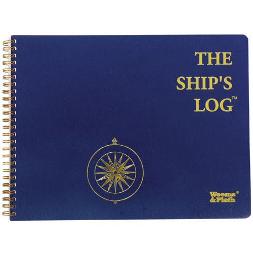
The Ship's Log book includes a diary type format consisting of lined pages for recording ship data and activities. It also contains guest register, vessel specifications, and serial number list pages, as well as quick reference pages on topics including:...

$40.99
Weems and Plath Cruising Log Every boat captain needs a log book on board to record critical information. The Cruising Log Book provides ample space for recording information about your nautical excursions. Includes a guest registry and quick reference...
$41.99
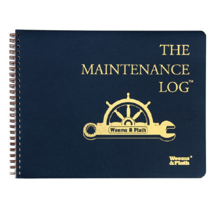
Every boat captain needs a ship log book on board to record critical information. The Ship Log has an attractive, embossed cover made of heavy, flexible waterproof material. Its spiral binding allow pages to open flat for ease in recording...

Sold Out
Choose Backstay All-Weather Logbook for Ultimate Durability! The waterproof cover and all-weather Rite in the Rain® paper are intended to survive exposure to the elements. This all-in-one waterproof sailing logbook ensures you're fully equipped and prepared for your cruise....


