WAGGONER TRIO- ON SALE NOW!!!
- Shop by Department
- Nautical Charts
- New Releases
- Marine Education Textbooks
- About Us
- +Shop by Department
- +Nautical Charts
- New Releases
- +Marine Education Textbooks
- +About Us
- Contact Us
- FAQ
- Repair Services
- Sign in
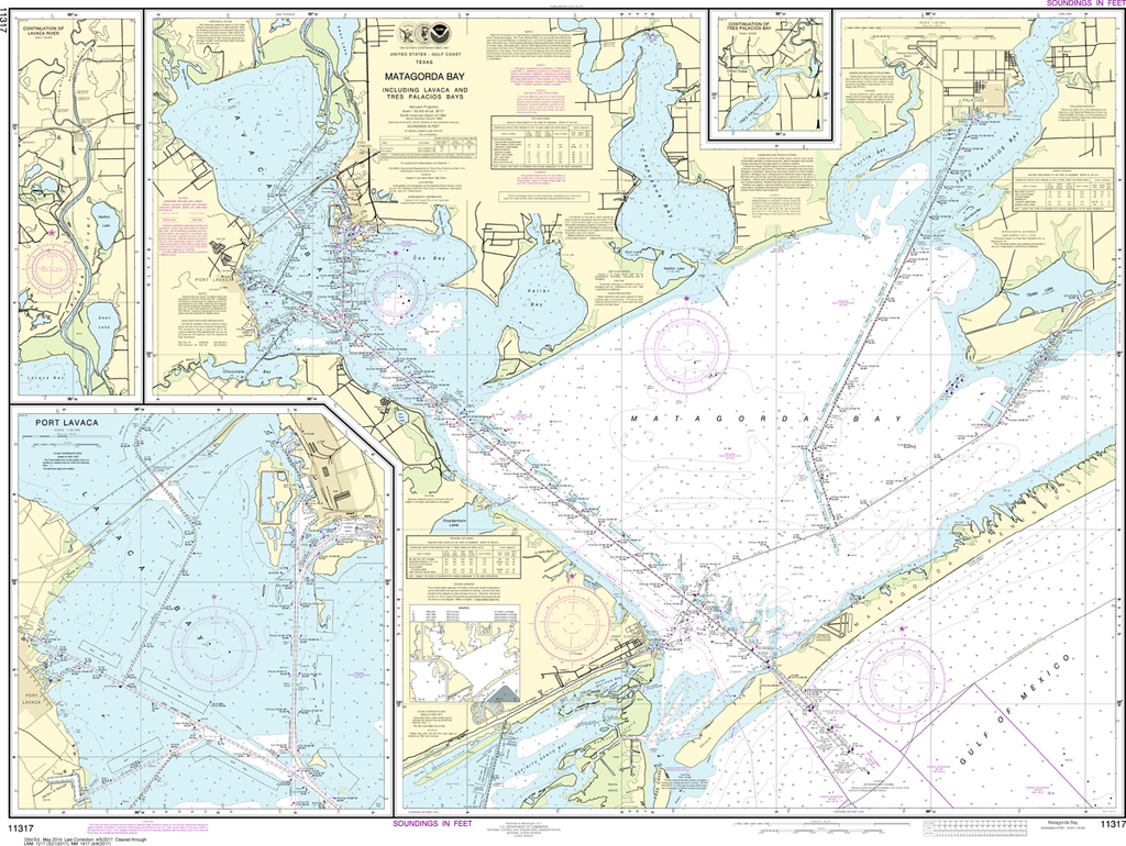
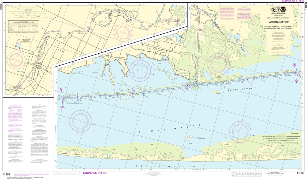
NOAA-11317
$26.95
The chart you are viewing is NOT updated weekly and does NOT include all the of the latest Notice to Mariners corrections.
Region: Gulf Coast & Caribbean Islands
Paper Size: 50" x 36"
Chart Image Size: 35" x 47"
Scale: 1:50,000
Captain's Nautical Supplies is a Print-on-Demand nautical chart dealer for US Waters. All charts are printed up-to-date and corrected to the latest Notice to Mariners and meet commercial carriage requirements. Charts are printed on high-quality heavy bright white paper with waterproof ink unless otherwise selected. Please note our charts are print-on-demand. These take 1-3 days to print fully and then will be shipped to you
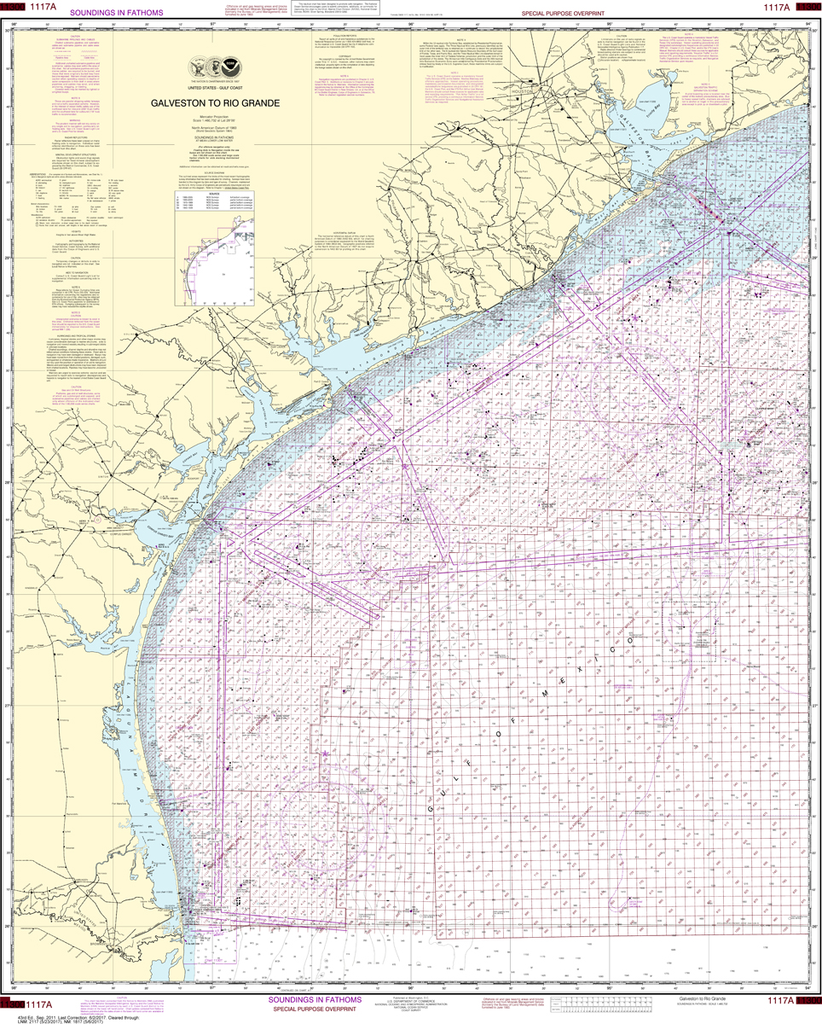
$26.95
The chart you are viewing is NOT updated weekly and does NOT include all the of the latest Notice to Mariners corrections. Region: Gulf Coast & Caribbean Islands Paper Size: 47" x 36" Chart Image Size: 43" x 35"...
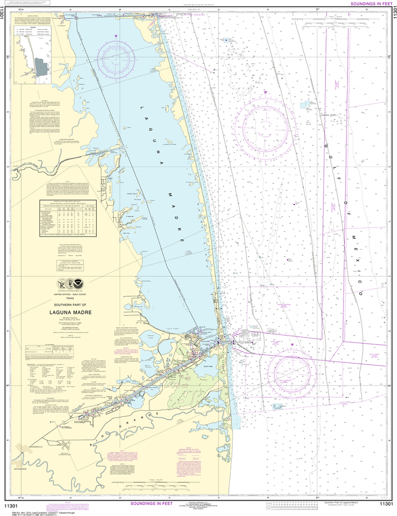
$26.95
The chart you are viewing is NOT updated weekly and does NOT include all of the latest Notice to Mariners corrections. Region: Gulf Coast & Caribbean Islands Paper Size: 46" x 36" Chart Image Size: 43" x 33" Scale:...
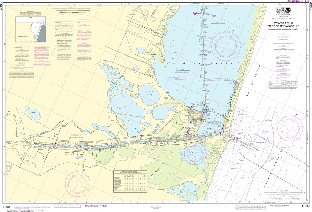
$26.95
The chart you are viewing is NOT updated weekly and does NOT include all of the latest Notice to Mariners corrections. Region: Gulf Coast & Caribbean Islands Paper Size: 47" x 36" Chart Image Size: 30" x 44" Scale:...
$26.95
The chart you are viewing is NOT updated weekly and does NOT include all of the latest Notice to Mariners corrections. Region: Gulf Coast & Caribbean Islands Paper Size: 48" x 36" Chart Image Size: 26" x 44" Scale:...


