WAGGONER TRIO- ON SALE NOW!!!
- Shop by Department
- Nautical Charts
- New Releases
- Marine Education Textbooks
- About Us
- +Shop by Department
- +Nautical Charts
- New Releases
- +Marine Education Textbooks
- +About Us
- Contact Us
- FAQ
- Repair Services
- Sign in

WeemsPlath-557
Sold Out
The Basic Plotting Guide will provide the link between the two methods by explaining the basics of how to use your GPS and plot on paper charts.
Teaches basic concepts in coastal and inland navigation. Explains how to measure latitude and longitude of a point on your chart for entry into your GPS. Details how to plot a position using latitude and longitude given by the GPS. Describes how to plot, measure and label course lines on a chart. Designed by the United States Power Squadrons.
$30.99
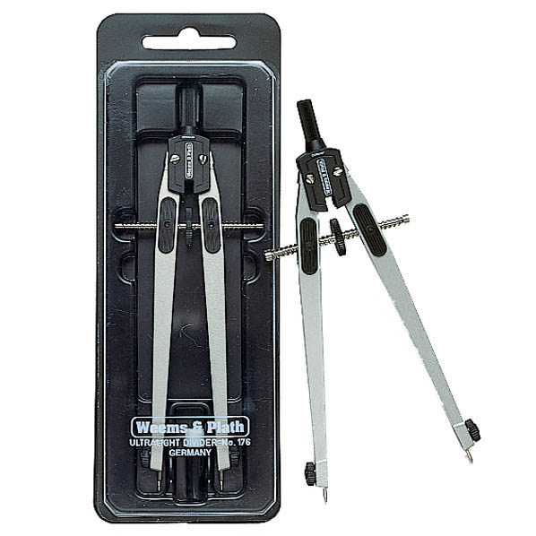
Every proper navigation kit should include a pair of navigation dividers to measure distance on a chart. The Ultralight Dividers are the perfect tools to fill out your kit. They are the best-selling navigation tool in our whole product line....
$30.99
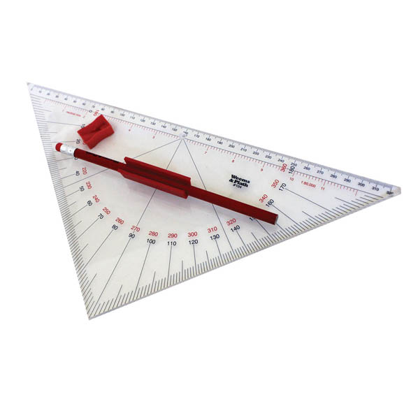
The Professional Protractor Triangle with handle is larger than other navigation triangles on the market with legs that are 9.312 inches long and a hypotenuse (long side) of 13.125 inches long. Overview Larger and improved version of our popular 101...
$27.99
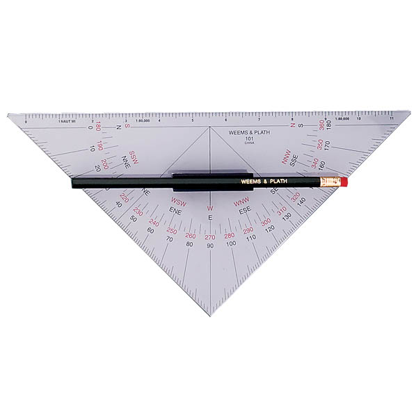
Weems and Plath Item 101 One of our best selling navigation instruments, the Protractor Triangle with Handle is inscribed with contrast enhancing colors making it easier to use. Utilizing two 45° triangles, the protractor triangle with handle provides a straightforward...
$33.99
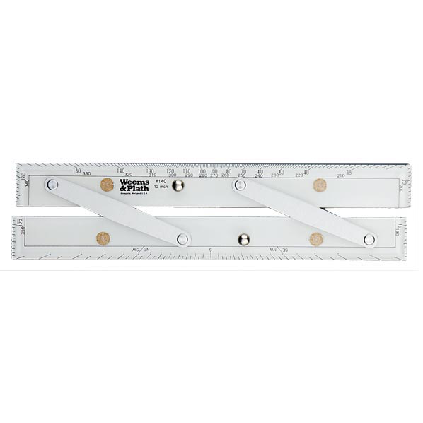
No navigator should be without a good set of parallel rules as part of the navigation back up plan in the event of an electronic navigation failure. These parallel rules are accurate and durable. Choose from four arm lengths. Overview...


