STOCK UP ON HOLIDAY GIFTS!
- Shop by Department
- Nautical Charts
- New Releases
- Marine Education Textbooks
- About Us
- +Shop by Department
- +Nautical Charts
- New Releases
- +Marine Education Textbooks
- +About Us
- Contact Us
- FAQ
- Repair Services
- Sign in
Sold Out
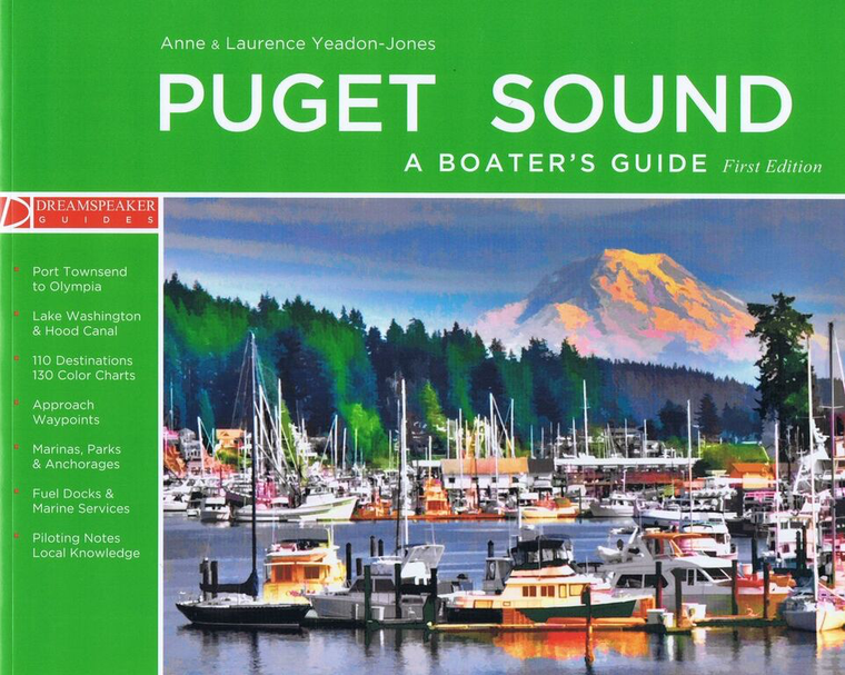
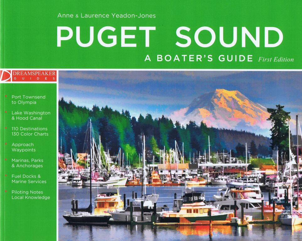
By Anne Yeadon-Jones & Laurence Yeadon-JonesExplore the most southerly and protected boating region in the Pacific Northwest with the Yeadon-Jones as they travel below 48° North to Puget Sound, from Port Townsend to Olympia, Lake Washington and Hood Canal. Written...

$23.75
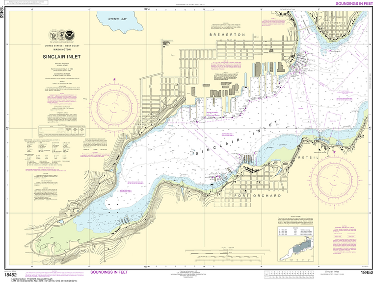
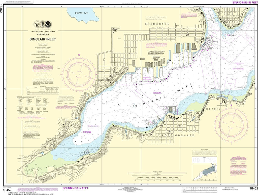
THIS CHART IS CURRENTLY CANCELED BY NOAA. We know there are many questions about NOAA charts, newest editions and charts being cancelled. The U.S. Office of Coast Survey provides an updated list of all chart updates and the ones being...
$23.75
The chart you are viewing is NOT updated weekly and does NOT include all of the latest Notice to Mariners corrections. Region: Pacific Coast Paper Size: 28" x 36" Chart Image Size: 24" x 32" Scale: 1:10,000 ...

$23.75
Region: Pacific Coast Latest Edition: 10 Ed. (1-Jan-2006) Last Correction: 18-Apr-2019 Cleared Through: NTM 47/2019 (23-Nov-2019) Paper Size: 40" x 36" Chart Image Size: 29" x 36" Scale: 1:10,000 The chart you are...