NOAA Chart 11492: St. Johns River - Jacksonville to Racy Point
$23.75
Region: Mid-Atlantic Paper Size: 38" x 36" Chart Image Size: 35" x 35" Scale: 1:40,000 Captain's Nautical Supplies is a Print-on-Demand nautical chart dealer for US Waters. All charts are printed up-to-date and corrected to the latest Notice to...
NOAA Chart 11495: St. Johns River - Dunns Creek to Lake Dexter
$23.75
THIS CHART IS CURRENTLY CANCELED BY NOAA. We know there are many questions about NOAA charts, newest editions and charts being cancelled. The U.S. Office of Coast Survey provides an updated list of all chart updates and the ones...
The chart you are viewing is NOT updated weekly and does NOT include all of the latest Notice to Mariners corrections. Region: Mid-Atlantic Latest Edition: 23 Ed. (1-Sep-2019) Last Correction: 17-Sep-2019 Cleared Through: NTM 47/2019 (23-Nov-2019) ...
The chart you are viewing is NOT updated weekly and does NOT include all of the latest Notice to Mariners corrections. Region: Northeast Atlantic Latest Edition: 14 Ed. (1-Aug-2014) Last Correction: 25-Oct-2019 Cleared Through: NTM 47/2019...
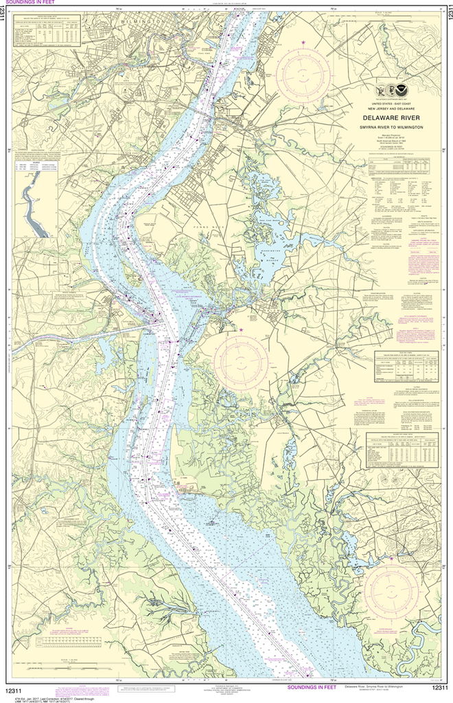
NOAA Chart 12311: Delaware River - Smyrna River to Wilmington
$23.75
The chart you are viewing is NOT updated weekly and does NOT include all of the latest Notice to Mariners corrections. Region: Mid-Atlantic Paper Size: 50" x 36" Chart Image Size: 46" x 30" Scale: 1:40,000 Captain's Nautical...
NOAA Chart 11487: St. Johns River - Racy Point to Crescent Lake
$23.75
THIS CHART IS CURRENTLY CANCELED BY NOAA. We know there are many questions about NOAA charts, newest editions and charts being cancelled. The U.S. Office of Coast Survey provides an updated list of all chart updates and the ones...
NOAA Chart 13318: Frenchman Bay and Mount Desert lsland
$23.75
The chart you are viewing is NOT updated weekly and does NOT include all of the latest Notice to Mariners corrections. Region: Northeast Atlantic Paper Size: 51" x 36" Chart Image Size: 47" x 30" Scale:...