2024 Light List Volume V: Mississippi River System
$43.00
2024 EDITION JUST RELEASED! 2024 Light List: Volume 5 - Mississippi River System covers the entire Mississippi River as it runs from its source in northwestern Minnesota to its mouth in the Gulf of Mexico. Included are all Coast...
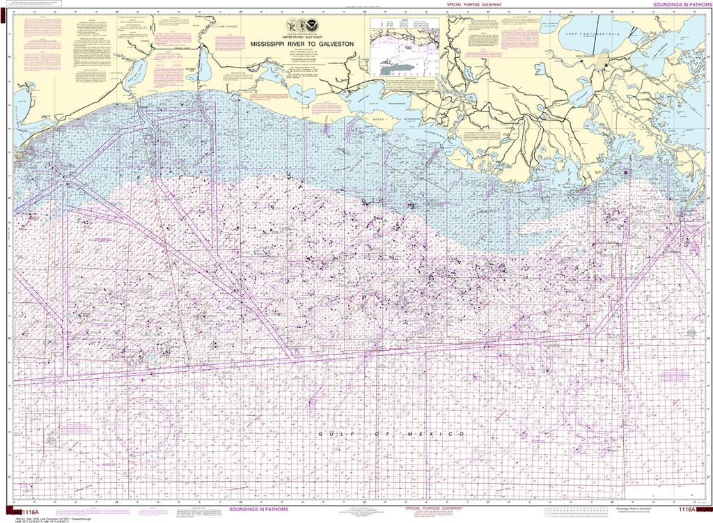
NOAA Chart 1116A: Mississippi River to Galveston (Oil and Gas Leasing Areas)
$23.75
Region: Gulf Coast & Caribbean Islands Paper Size: 52" x 36" Chart Image Size: 35" x 49" Scale: 1:458,596 Captain's Nautical Supplies is a Print-on-Demand nautical chart dealer for US Waters. All charts are printed up-to-date...
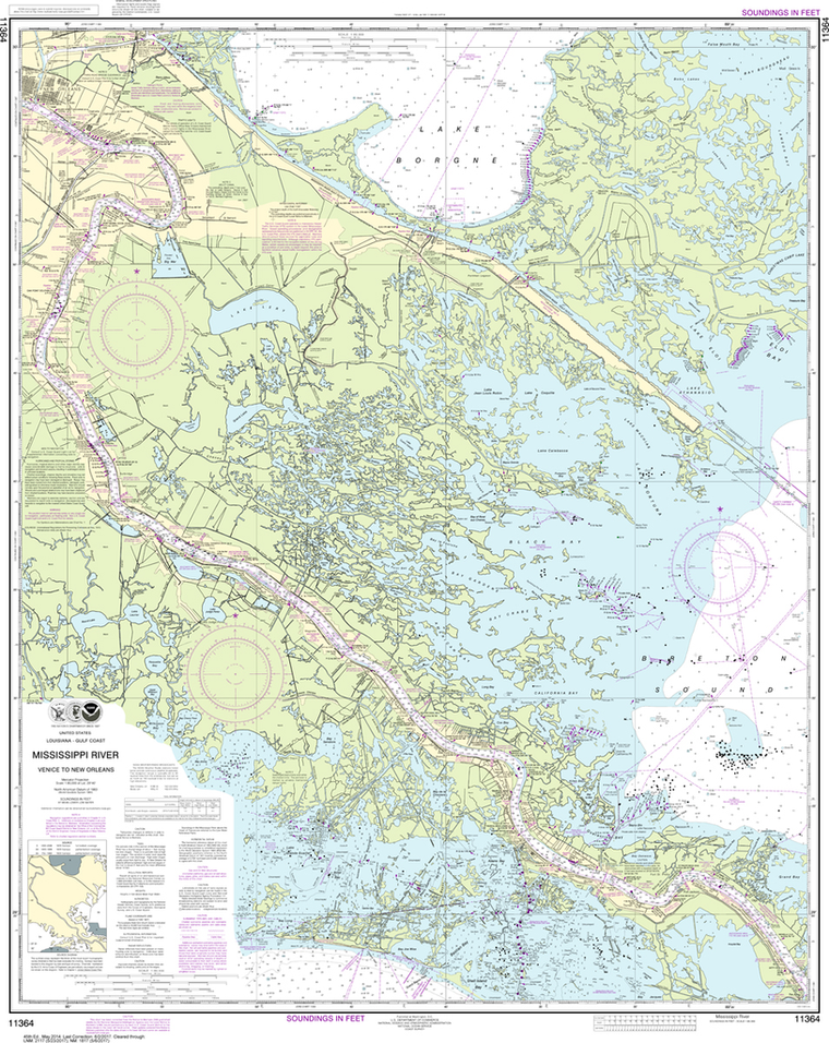
NOAA Chart 11364: Mississippi River - Venice to New Orleans
$23.75
Region: Gulf Coast & Caribbean Islands Paper Size: 47" x 36" Chart Image Size: 44" x 35" Scale: 1:80,000 Captain's Nautical Supplies is a Print-on-Demand nautical chart dealer for US Waters. All charts are printed up-to-date and...
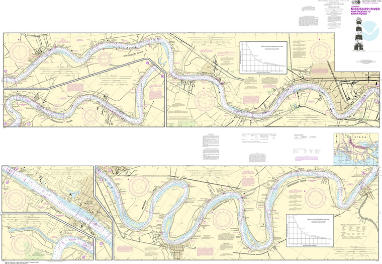
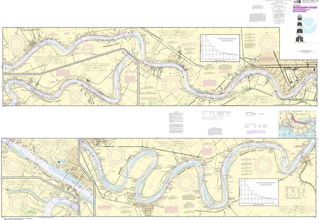
NOAA Chart 11370: Mississippi River - New Orleans to Baton Rouge
$23.75
Region: Gulf Coast & Caribbean Islands Paper Size: 62" x 42" Chart Image Size: 41" x 59" Scale: 1:40,000 Captain's Nautical Supplies is a Print-on-Demand nautical chart dealer for US Waters. All charts are printed up-to-date and...
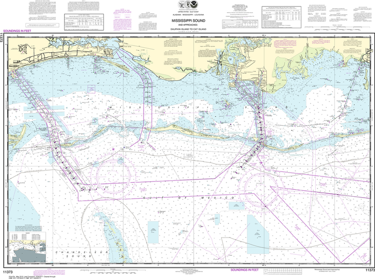
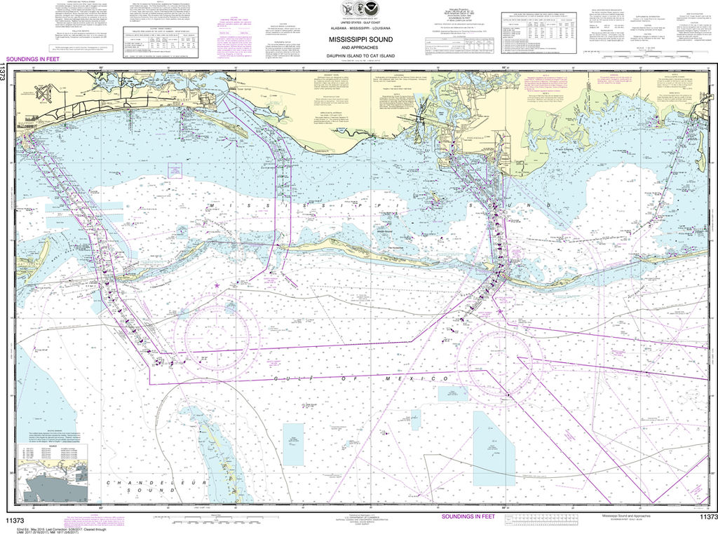
NOAA Chart 11373: Mississippi Sound and Approaches - Dauphin Island to Cat Island
$23.75
Region: Gulf Coast & Caribbean Islands Paper Size: 46" x 36" Chart Image Size: 31" x 42" Scale: 1:80,000 Captain's Nautical Supplies is a Print-on-Demand nautical chart dealer for US Waters. All charts are printed up-to-date and...