WAGGONER TRIO- ON SALE NOW!!!
- Shop by Department
- Nautical Charts
- New Releases
- Marine Education Textbooks
- About Us
- +Shop by Department
- +Nautical Charts
- New Releases
- +Marine Education Textbooks
- +About Us
- Contact Us
- FAQ
- Repair Services
- Sign in
$99.95
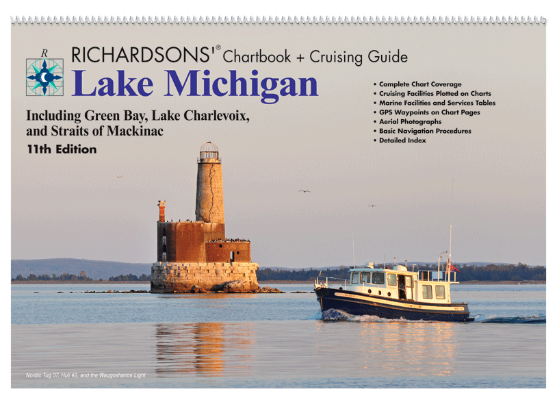
Lake Michigan Chartbook + Cruising Guide, 11th Ed. Includes: Green Bay, Lake Charlevoix and the Straits of Mackinac. - 12" x 18"- Spiral Bound- Cruising Information- Marine Facilities- Aerial Harbor Photographs- GPS Waypoint Labels- Navigational Reference Data
$49.95
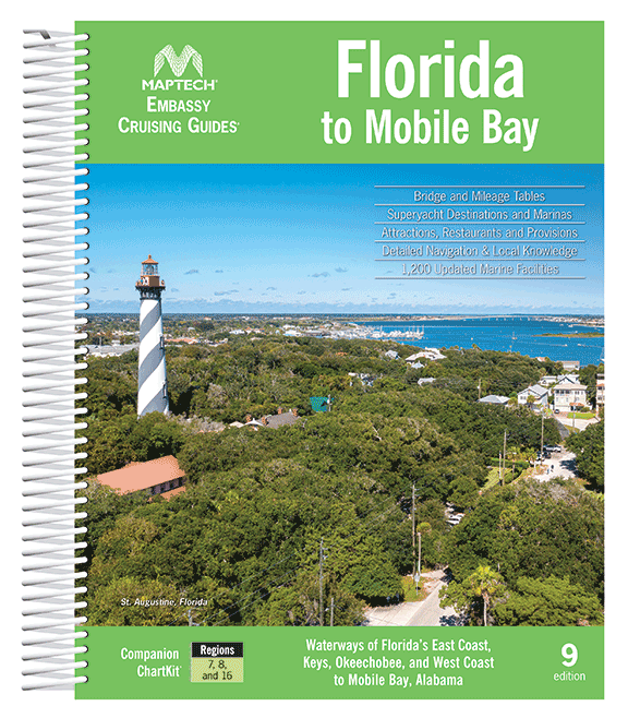
Complete coverage of Florida’s East Coast, Gulf Coast to Mobile, AL, the Florida Keys, the Okeechobee Waterway. Features detailed navigation advice, superyacht facilities, aerial photos, destination and dining tips, comprehensive bridge tables, GPS waypoints and detailed listings for 1,200 marine facilities....

Sold Out
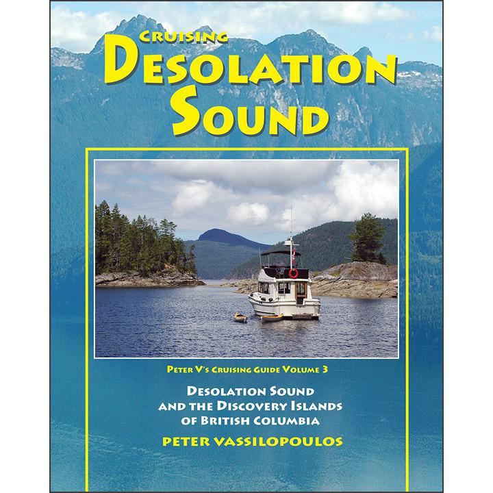
By Peter Vassilopoulos This beautiful book is filled with photos and information about one of the greatest cruising areas of the world. Peter takes you from Howe Sound to Desolation Sound and explores the wonderful gunkholes and marinas along the...
Sold Out
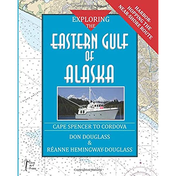
CURRENTLY OUT OF PRINT - NOT AVAILABLE DURING THIS TIME By Don Douglass & Reanne Hemingway-Douglass This is an all-new addition to Don & Réanne Douglass's best-selling Exploring series of cruising guidebooks. This book details the near-shore route between...

$48.00
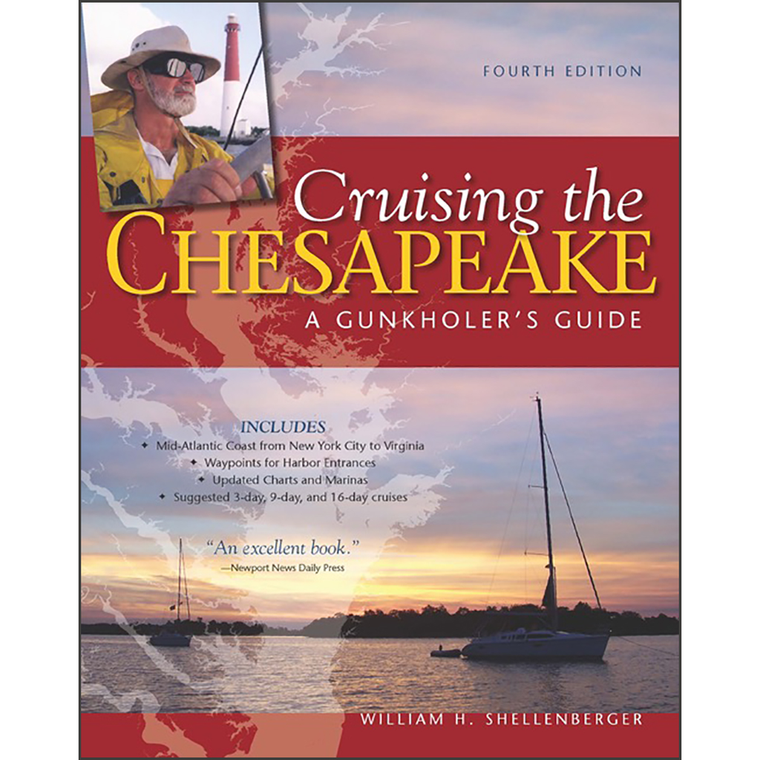
By William H. ShellenbergerDotting its more than 3,000-mile shoreline are creeks, coves, and inlets – or gunkholes in Chesapeake Bay parlance. They are as challenging as they are charming for cruisers to fi nd and enter, sometimes discouraging the less...
$29.95
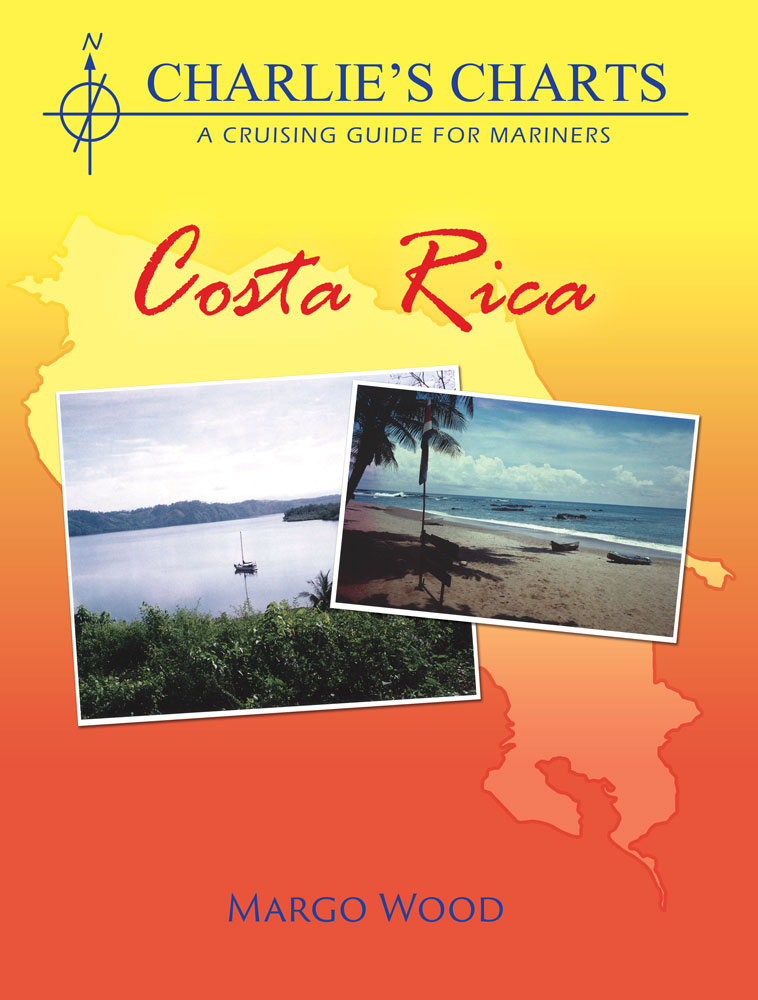
by Margo WoodThis guide provides detailed drawings of all anchorages and marina facilities on the western coast of Costa Rica

$21.95
Eastern Caribbean Cruise Tour Guide Reaching in a graceful arc from Puerto Rico to South America, the Leeward and Windward islands of the Eastern Caribbean are like an iridescent diadem, each island a unique gem, sun-splashed, set against a cobalt...

$21.95
Western Mexico Cruise Tour Guide - includes Baja and the Mexican Riviera Explore Baja and the Mexican Riviera. Travel to Western Mexico with this unique map/guide packed with detailed information on the history, customs and culture of Mexico and its...

$114.95
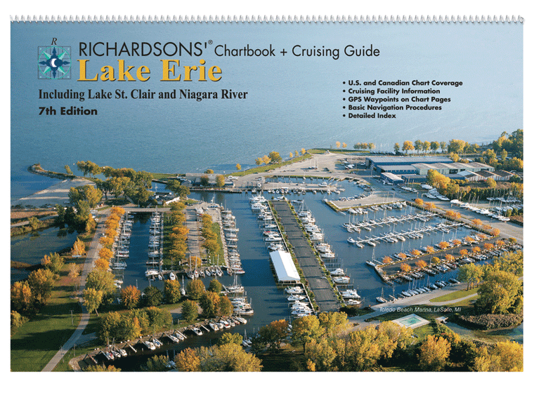
Lake Erie Chartbook + Cruising Guide, 7th Ed. Includes: Lake St. Clair, St. Clair River, Niagara River, Welland Canal, northeast to Niagara, northwest to Sarnia

$54.95
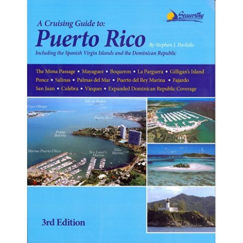
A Cruising Guide to Puerto Rico, 3rd Ed including the Spanish Virgin Islands and the north coast ports of the Dominican Republic: is the most comprehensive guide ever written for Puerto Rico. Its 53 detailed, full-color charts contain extremely...

$39.95
By Peter Vassilopoulos This book covers the West Coast of Vancouver Island with many photographs and many snippets of history and current day information. It is not a guide but may be used as one. The book is based on...
$49.95
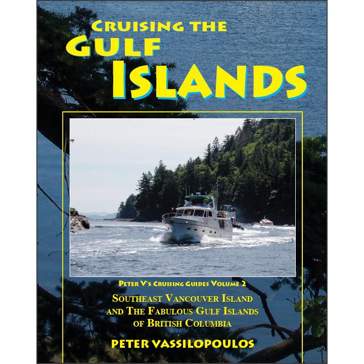
By Peter Vassilopoulos This is a comprehensive guide to the islands, waterways, anchorages and marinas in the popular Gulf Islands of British Columbia. It is filled with route information, data about facilities and some historical notes. The book is colorfully...

Sold Out
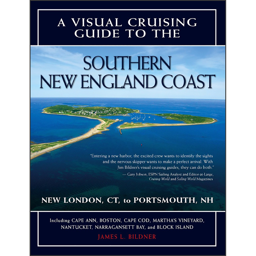
By James L BildnerWhen you navigate the coast of Maine, a picture is worth a thousand words A Visual Cruising Guide to the Maine Coast takes the guesswork out of navigating Maine's intricate, reef-strewn waters, ensuring that your next voyage...
Sold Out
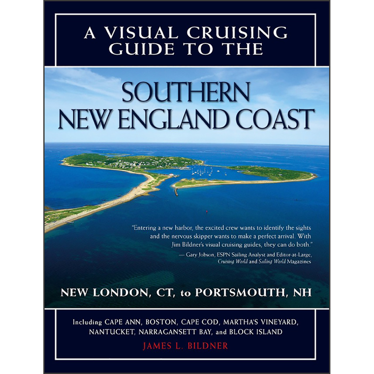
By James L. BildnerNew concept in navigation provides the perfect complement to your charts and traditional cruising guides This unique cruising guide features aerial photos matched with chart segments to guide you through channels and harbor approaches. Prepared with input...