WAGGONER TRIO- ON SALE NOW!!!
- Shop by Department
- Nautical Charts
- New Releases
- Marine Education Textbooks
- About Us
- +Shop by Department
- +Nautical Charts
- New Releases
- +Marine Education Textbooks
- +About Us
- Contact Us
- FAQ
- Repair Services
- Sign in

PUB-9780938665953
Sold Out
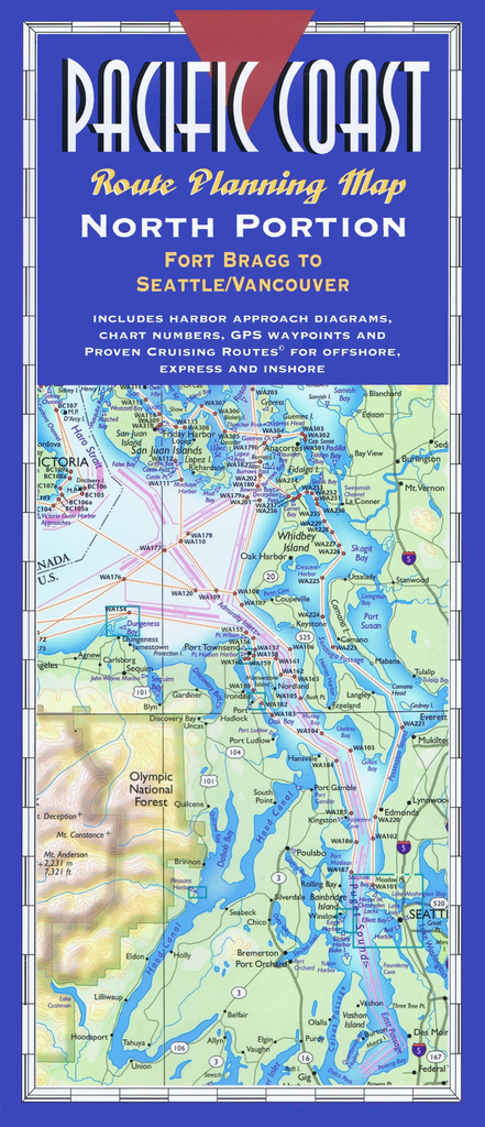
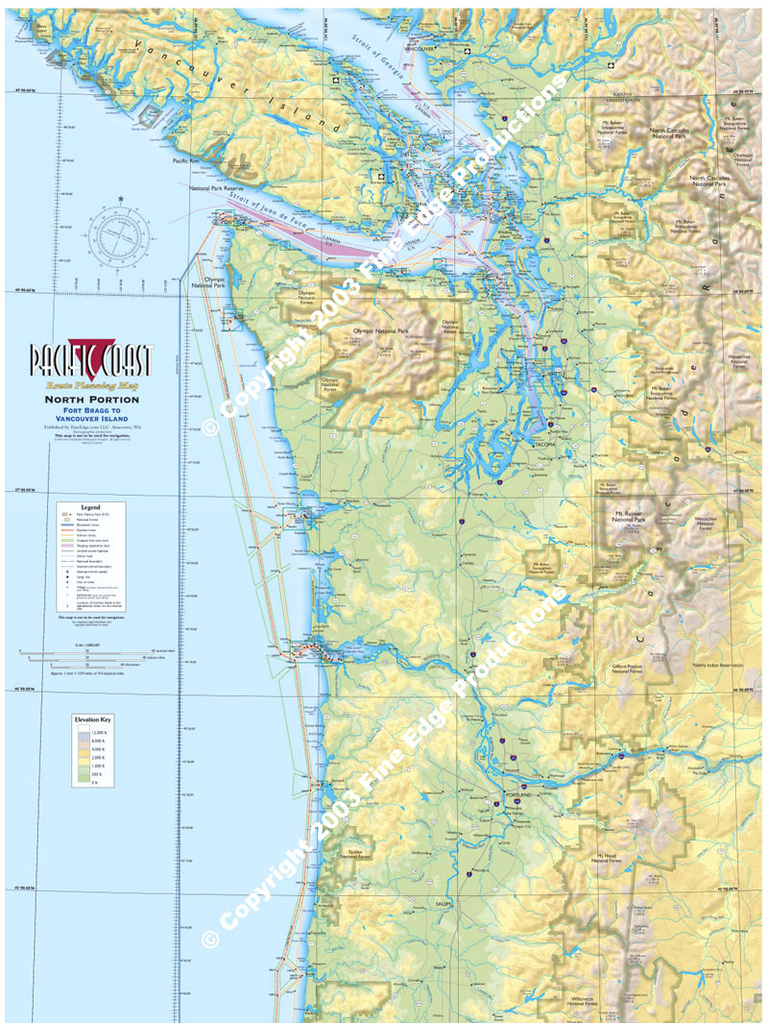
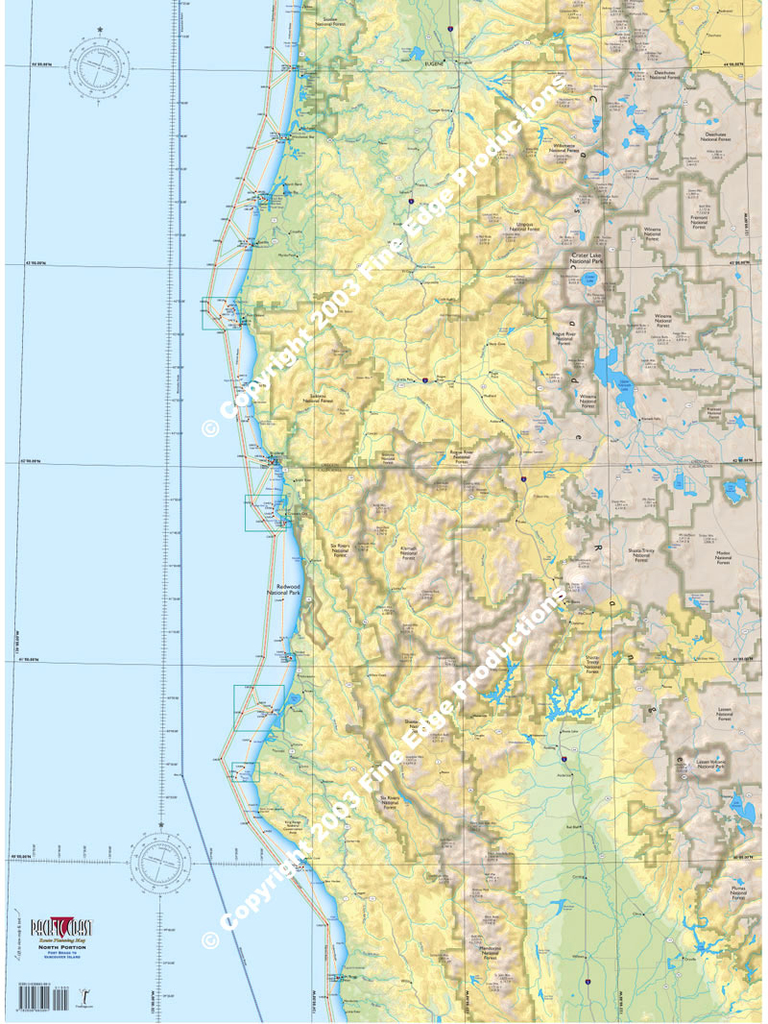
Plot your own itinerary and prepare for your trip of a lifetime, up or down the Pacific Coast! Route Planning Maps allow a bird’s-eye view of the coastline in one view. Use the references and suggested routes to plan your trip, or just hang these full-color maps up in your office or den.
"A great compliment to the Exploring the Pacific Coast book. "
"Wow - the back includes all of the main harbor diagrams!"
— Comments from customers at Seattle Boat Show
Includes over 500 places to tie up and anchor with three Proven Cruising Routes © - Offshore, Express and "one foot on the beach" harbor hopping inshore route. All major place names are alphabetically indexed on the southern and northern portions of this full color two-map series. Descriptions include geographical locations, nautical chart numbers, and nearly 6,000 GPS waypoints. This will help you locate all the named places, as well as hundreds of other coves on each map.
Both North Portion and South Portion maps are 24 inches wide by 65 inches long. The folded version accordion-folds down to 12 inches by five inches for easy flat storage. The laminated version is packaged rolled up in a plastic sleeve.
$54.95
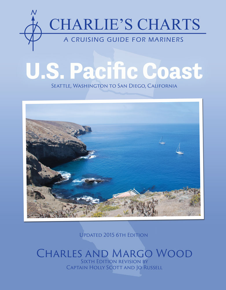
by Charles & Margo WoodThis cruising guide is a proven reference for safe navigation of the challenges for travel along the US Pacific Coast

$18.95
by Bonnie Henderson Day Hiking Oregon Coast, 2nd Edition is a special sort of hiking guidebook. On one hand, there are dozens of hikes to choose from for an easy family outing. However, it also is a comprehensive guide to...
$69.95
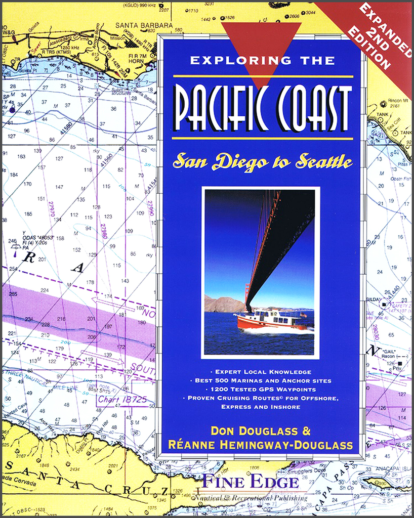
By Don Douglass & Reanne Hemingway-Douglass Exploring the Pacific Coast contains recently researched information of all the places to tie up or anchor your boat from the Mexican border to Seattle. Over 500 of the best marinas and anchor sites...

$16.95
by Gloria Snively (Author) This easy to use guidebook, now in its 10th printing, enables anyone, from beginner to expert, to identify 285 shorebirds and intertidal plants and animals. Beautifully illustrated with 94 color photographs.


