Here at Captain's Nautical we are always adding new products and titles to our store. We are an authorized publisher for all the main maritime publications and guides. Stay in the know with our Facebook page as well!
$69.95
ALL WEATHER LOGBOOK Choose Backstay All-Weather Logbook for Ultimate Durability! The waterproof cover and all-weather Rite in the Rain® paper are intended to survive exposure to the elements. Backstay All-weather Logbook is more than just a logbook. It is a...
$19.95
Celebrate the beauty of the deep blue with this curated collection of marine-inspired stationery. Each card in this 10-pack features a vibrant watercolor illustration of different fish species, from tropical favorites to coastal classics. Premium Quality: Printed on thick cardstock...
$60.00
Volume 7, 2024 Edition CFR 46 Parts 166 - 199 This edition is the seventh of nine volumes in a series titled Shipping. Revised as of October 1, 2024
$49.95
New, 7th Edition The Radar Observer Manual was originally conceived as a companion text to the radar observer courses established at the four Maritime Administration radar schools. It has evolved and expanded over the years but has remained true to...
$19.95
2026 EDITION 2026 West Coast of North America (including the Hawaiian Islands) Tide Tables. Contains full predictions for 59 reference ports and differences and other constants for more than 1,285 stations in North America, South America, and the Hawaiian...
$5.95
2026 EDITION A Daily Necessity for Saltwater Commerce and Recreation. High and Low Tides for 2 months are in view at the same time. Time and Height Corrections for all points within a Tide District are printed between the...
$39.95
Now in its 48th year, Northwest Boat Travel is a unique cruising guide containing twenty geographically arranged chapters presenting descriptions and useful information about the ports-of-call, anchorages, bays, inlets, waterways, marine parks, marina and resort facilities, fuel docks, services, and...
$19.95
2026 Canadian Tide and Current Tables - Discovery Passage and West Coast of Vancouver Island (Volume 6) Tide tables include predicted times and heights of the high and low waters associated with the vertical movement of the tide. They're...
$5.95
2026 EDITION! A Daily Necessity for Saltwater Commerce and Recreation. High and Low Tides for 2 months are in view at the same time. Time and Height Corrections for all points within a Tide District are printed between the...
$6.95
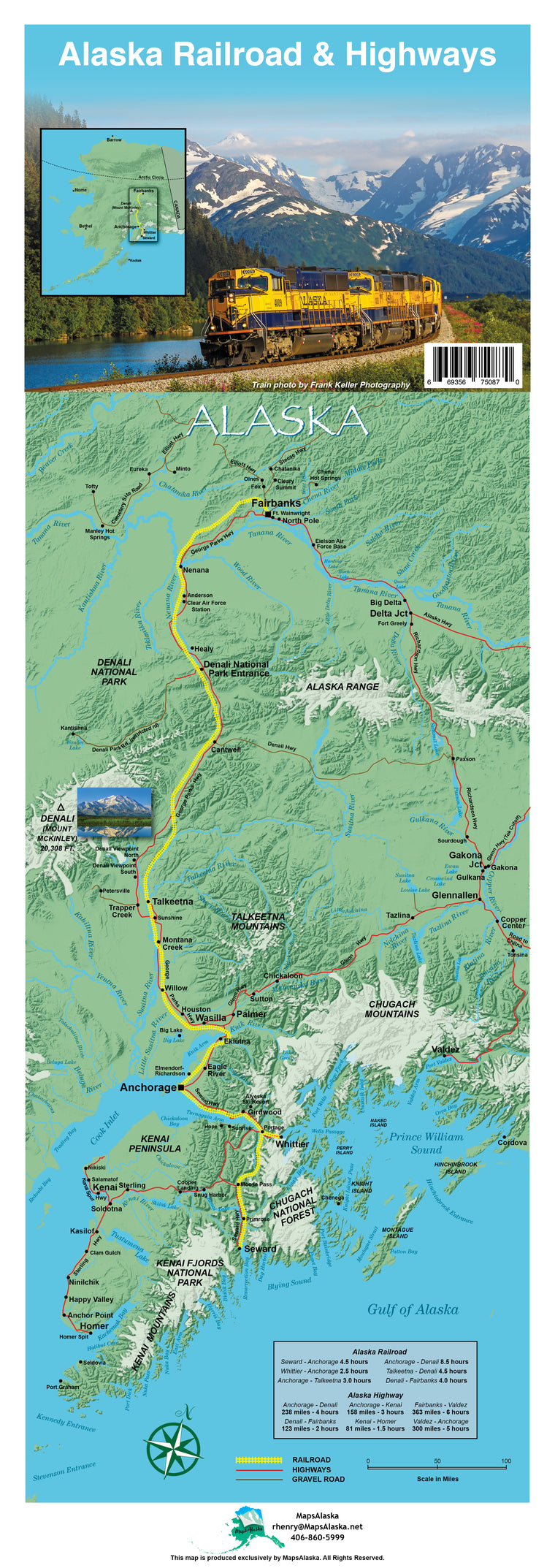
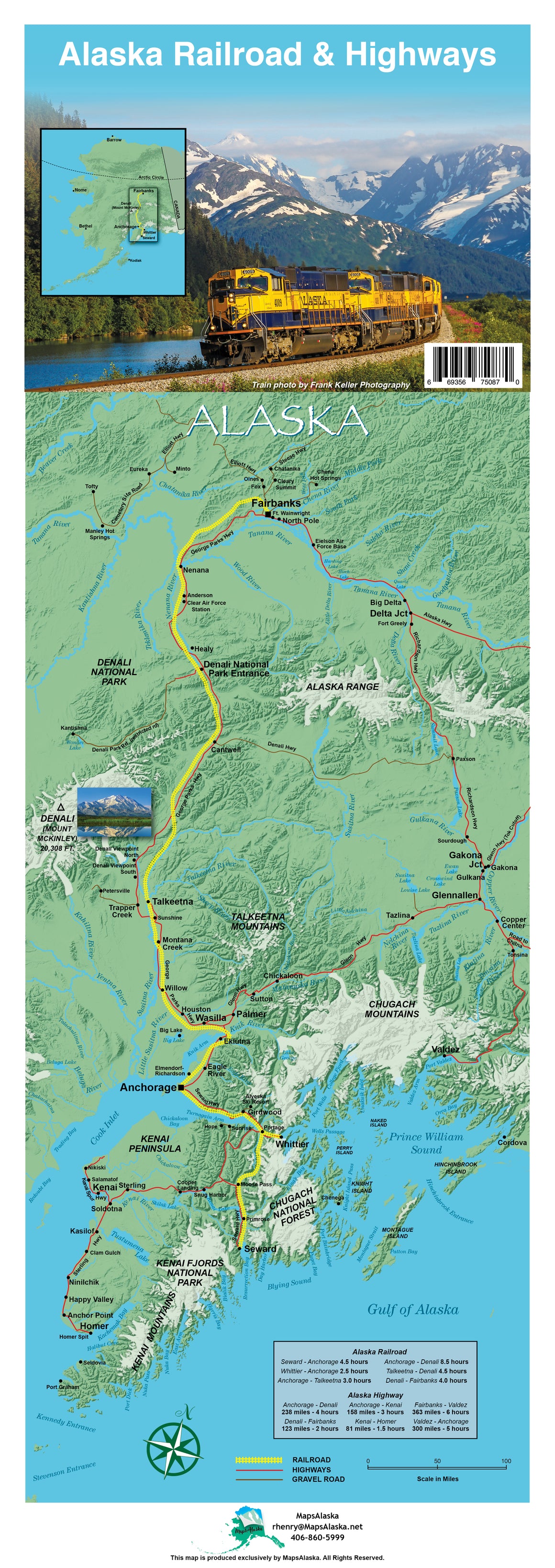
Alaska Railroad & Highway Map NEW EDITION OUT NOW Map measures 8 1/2" x 24" and features information and photos that allow you to track your Alaskan adventure through railroad and highways. This map acts not only as a guide but...
$80.00
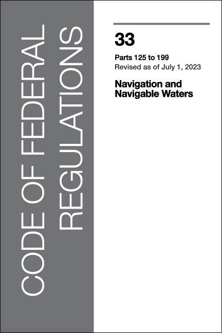
2024 Edition Revised as of July 1, 2024 CFR 33 (Parts 125-199) This edition is the second of three volumes in a series titled Navigation and Navigable Waters containing a codification of documents of general applicability and future effect....
$50.00
Volume 4, 2024 Edition CFR 46 Parts 90 - 139 This edition is the fourth of nine volumes in a series titled Shipping. 2023 Edition. (Cover only update) Dimensions: 6 x 9. Revised as of October 1, 2024
$65.00
2024 Edition Revised as of October, 2024 CFR 33 (Parts 1 - 124) This edition is the first of three volumes in a series titled Navigation and Navigable Waters containing a codification of documents of general applicability and future effect....
$19.95
2026 Edition Contains daily predictions for the expected behaviors of the oceans along the eastern coasts of North and South America, as well as the western coasts of Europe and Africa, and its waves through charts, graphs, and informative writing....
$40.00
Volume 5, 2024 Edition CFR 46 Parts 140 - 155 This edition is the fifth of nine volumes in a series titled Shipping. Dimensions: 6 x 9. Revised as of October 1, 2024
$5.95
* Durable, inexpensive, fun to use nature identification guide* Great for the beach and coastal hikes* Created by a high-school science teacherThis field guide for Northeast coastal birds is a fun, easy way to identify those birds playing in the...
$53.00
2026 Light List: Volume 6 - Pacific Coast and Pacific Islands covers from the Mexico-California border to the Bering Strait, including the Hawaiian Islands and the Midway Islands. Included are all Coast Guard aids to navigation used for general navigation...
$17.95
Tidelog 2026: Puget Sound TIDELOG© is a graphic almanac based on official National Oceanic and Atmospheric Administration (“NOAA”) and United States Naval Observatory (“USNO”) tide, current, and astronomical predictions specific to each geographical area. These areas are graphed to...
$14.95
2026 Edition A unique combination of daily historical facts and trivia, maritime lore, logbook and onboard reference, the calendar makes the ideal gift for any mariner or naval history buff. 6 x 9 spiral bound weekly with 13 months
$5.95
2026 EDITION A Daily Necessity for Saltwater Commerce and Recreation. High and Low Tides for 2 months are in view at the same time. Time and Height Corrections for all points within a Tide District are printed between the...
$5.95
2026 EDITION A Daily Necessity for Saltwater Commerce and Recreation. High and Low Tides for 2 months are in view at the same time. Time and Height Corrections for all points within a Tide District are printed between the...
$50.00
CFR 46 Parts 41 - 69 This edition is the second of nine volumes in a series titled Shipping. Revised as of October 1, 2024 Dimensions: 6 x 9.
$19.95
2026 Canadian Tide and Current Tables - Juan De Fuca Strait and Strait of Georgia (Volume 5) Tide tables include predicted times and heights of the high and low waters associated with the vertical movement of the tide. They're...
$69.95
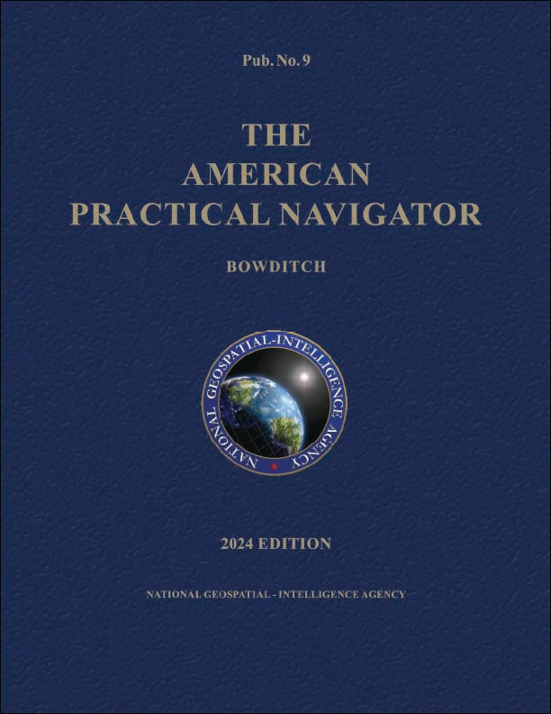
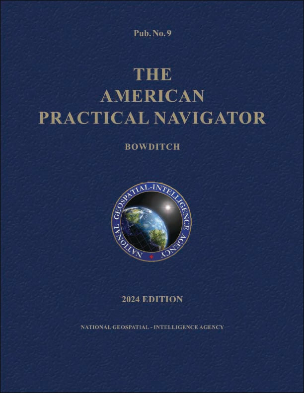
This is the 2024 edition of the Bowditch (volume 1) with ALL CORRECTIONS and PROPER PAGE NUMBERING. Our version is printed in color and produced with generous margins to make the book easier to read. Printed at full size, 8.5...