WAGGONER TRIO- ON SALE NOW!!!
- Shop by Department
- Nautical Charts
- New Releases
- Marine Education Textbooks
- About Us
- +Shop by Department
- +Nautical Charts
- New Releases
- +Marine Education Textbooks
- +About Us
- Contact Us
- FAQ
- Repair Services
- Sign in


PUB-9780071779821
$26.00
By Nigel Calder
Authoritative, practical, and hands-on information on reading and relying on electronic and paper nautical charts
The essential How to Read a Nautical Chart explains every aspect of electronic and paper nautical charts: how a chart is assembled, how to gauge the accuracy of chart data, how to read charts created by other governments, how to use information such as scale, projection technique and datum that every chart contains; how not to get fooled or run aground by overzooming. Nigel Calder teaches you how to squeeze every ounce of information out of a nautical chart (on your GPS, chartplotter, or nav station) and understand the limits of accuracy for all charts, paper and electronic, raster and vector.
This much-awaited second edition addresses the changes in the world of electronic charting, integrated onboard navigation systems, as well as radar overlays and AIS and their interfacing with charts. A new chapter on the Wiki Revolution explores the mechanisms allowing you to incorporate user-generated content into navigational products and share this content with others – harnessing a user-base never before possible. Calder also explores how 3D-technology and real-time depth and weather information is creating interactive charting capacities that are fundamentally changing how we navigate. Calder's unique, practical insights will help you to navigate safely for years to come.
Title: How to Read a Nautical Chart: A Complete Guide to Using and Understanding Electronic and Paper Charts
Author: Nigel Calder
Publisher: International Marine Publishing
Published: March 8, 2012
Edition: 2nd Edition
Pages: 272
ISBN: 9780071779821
Binding: Paperback

$19.95
spiralbound, 4 color 8.5" x 11"
Sold Out
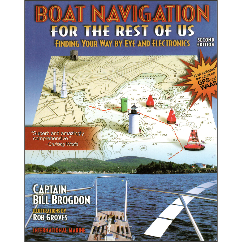
By Bill BrogdonWant a full course in navigation? A whole toolbox of little-known tips and shortcuts to deal with real-life navigation situations without resorting to a slide rule? You get both in Boat Navigation for the Rest of Us, a guide...
$12.95
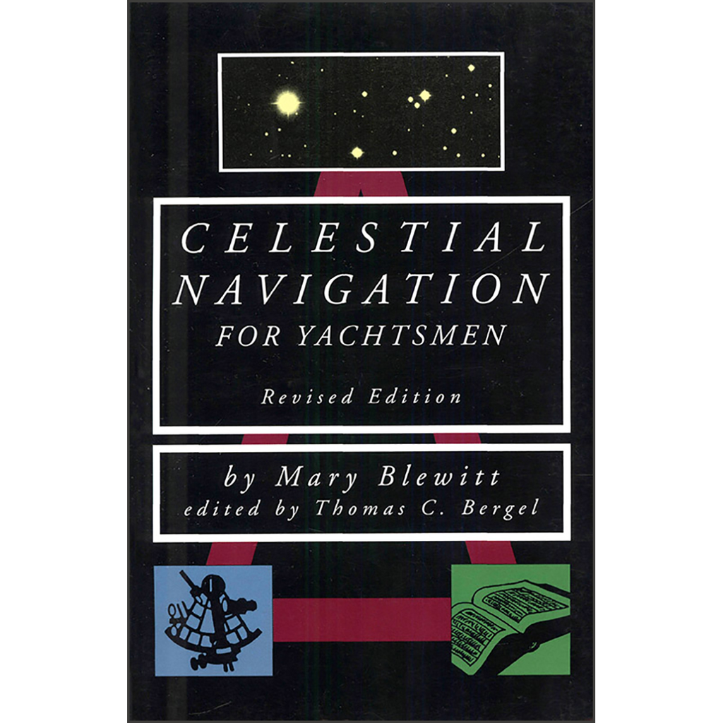
By Mary BlewittThere is deep mystery and profound satisfaction in finding your position on earth by reference to the sun, moon, and stars – not to mention profound relief when the GPS receiver stops working in mid-passage. That is why...
$38.00
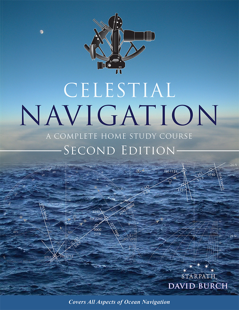
by David Burch This book covers how to find position at sea from timed sextant sights of the sun, moon, stars, and planets plus other routine and special procedures of safe, efficient offshore navigation. Includes clear explanations of how it...


