WAGGONER TRIO- ON SALE NOW!!!
- Shop by Department
- Nautical Charts
- New Releases
- Marine Education Textbooks
- About Us
- +Shop by Department
- +Nautical Charts
- New Releases
- +Marine Education Textbooks
- +About Us
- Contact Us
- FAQ
- Repair Services
- Sign in
$29.95
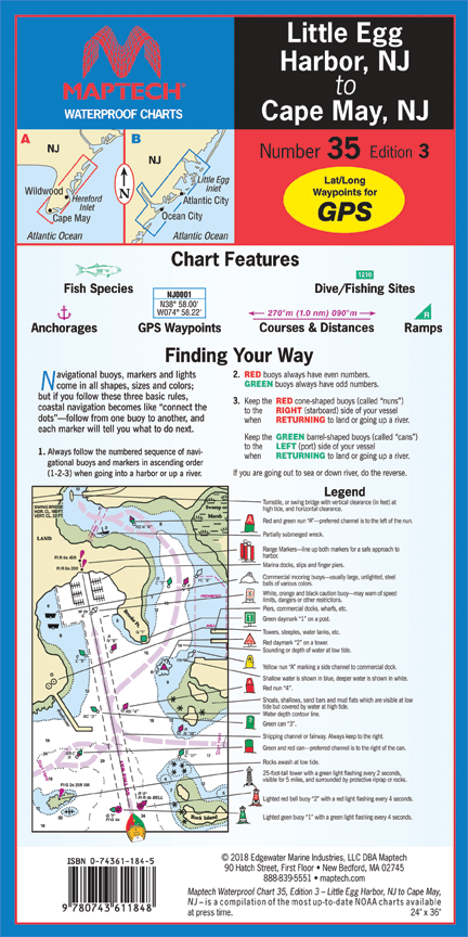
Little Egg Harbor NJ to Cape May NJ, 3rd Edition Beach Haven, Little Egg, Brigantine, Absecon, Great Egg Corson, Townsends, Hereford and Cape May inlets. Featuring GPS Waypoints, courses and distances, and fishing and wreck sites. 14" x 60", scale...
$29.95
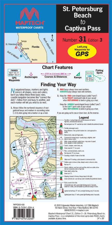
St. Petersburg Beach to Captiva Pass, 3rd Editon ICW and coast coverage. Featuring GPS waypoints, anchorages, courses and distances, ramp locations and fishing sites. 24" x 36", scale 1:50,000 with insets.

$29.95
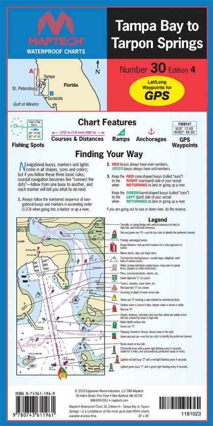
Tampa Bay to Tarpon Springs, 4th Edition Tampa Bay and coast to Port Richey. Featuring waypoints for major buoys, courses and distances, fishing sites, anchorages, and ramp locations. 24" x 36", scale 1:53,000 with insets.

$29.95
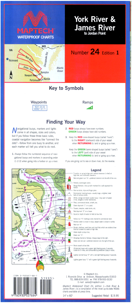
York and James Rivers, 1st Edition York River--Includes Matapony River to Aylett, and Pamunkey River to Newcastle bridges. James River--to Jordan Point. Ramp locations and information. 14" x 60", scale 1:53,333 with insets(1:21,505).
$29.95
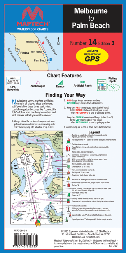
Melbourne to Palm Beach, 3rd Edition Melbourne to Palm Beach. Featuring on-site GPS waypoints, anchorages, fishing spots and ramp locations. 24" x 36". Scale 1:44,444 with insets.
$29.95
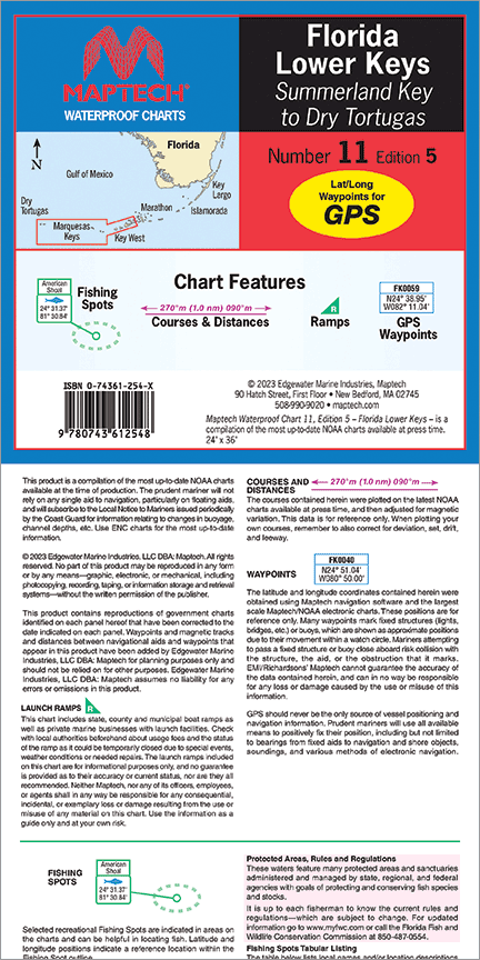
Florida: Lower Keys, 5th Edition Summerland Key to Dry Tortugas. Featuring GPS Waypoints, pre-plotted courses and distances, fishing spots and ramp locations. 24" x 36", scale 1:89,000 with insets..
$29.95
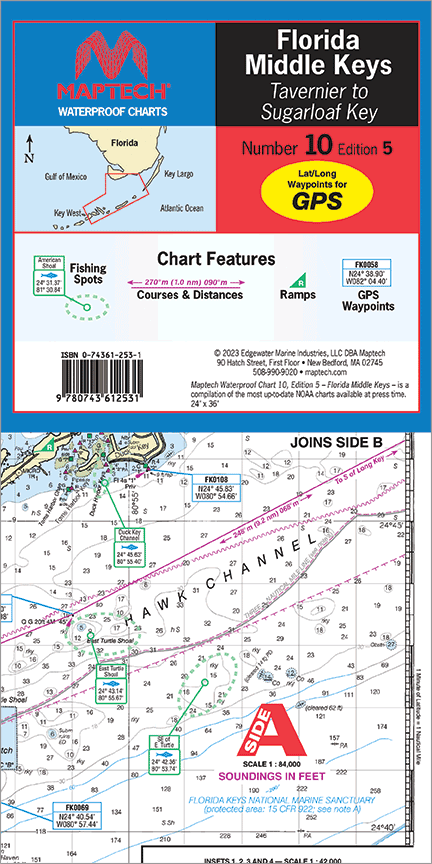
Florida: Middle Keys--Tavernier to Sugarloaf Key, 5th Edition Tavernier to Sugarloaf Key. Featuring GPS Waypoints, pre-plotted courses and distances, fishing spots and ramp locations. 24" x 36", scale 1:84,000 with insets.
$29.95
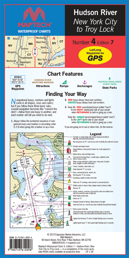
Hudson River, 7th Edition Liberty Island to the Troy Lock. The best chart for the Hudson! Featuring ramp locations, information and historic sites. 24" x 36", scale 1:44,444.
$99.95
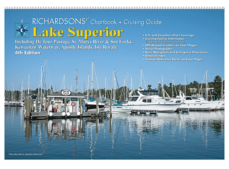
Lake Superior Chartbook + Cruising Guide,�4th Ed. Includes: Isle Royale, Apostle Islands, Keweenaw Waterway, St. Mary's River, Soo Locks and the De Tour Passage. 12" x 18"Spiral BoundCruising InformationMarine FacilitiesAerial Harbor Photographs GPS Waypoint LabelsNavigational Reference Data
$114.95
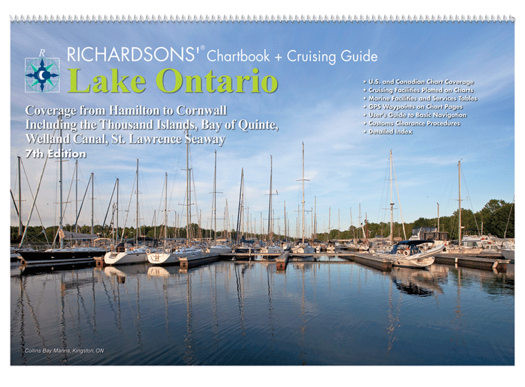
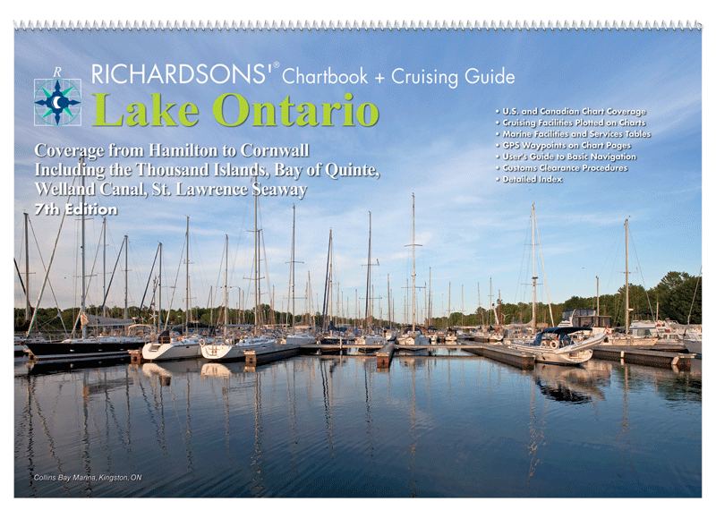
Lake Ontario Chartbook & Cruising Guide, 7th Ed. Coverage from Hamilton to Cornwall including the Thousand Islands, Bay of Quinte, Welland Canal, St. Lawrence Seaway. Cover photography: Al MacLachlan. • 12" x 18"• Spiral Bound• U.S. and Canadian Chart Coverage•...
$99.95
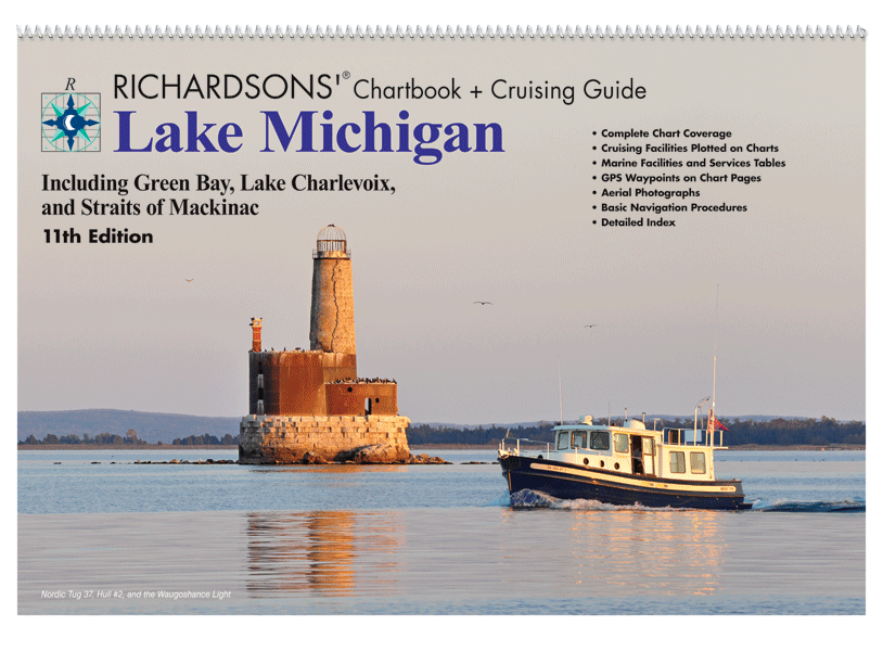
Lake Michigan Chartbook + Cruising Guide, 11th Ed. Includes: Green Bay, Lake Charlevoix and the Straits of Mackinac. - 12" x 18"- Spiral Bound- Cruising Information- Marine Facilities- Aerial Harbor Photographs- GPS Waypoint Labels- Navigational Reference Data

$69.95
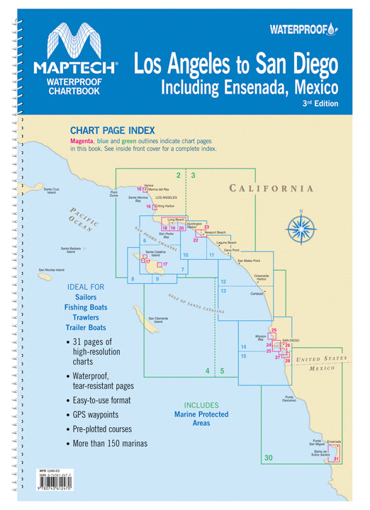
WPB Los Angeles to San Diego including Ensenada, Mexico, 3rd Edition Includes Catalina Island, Ensenada, Mexico and detailed harbor charts. 31 chart pages, GPS waypoints, Lat./Long. grids, courses, anchorages, ramps, and marinas. 12" x 17", scales 1:870,000 to 1:10,000.
$69.95
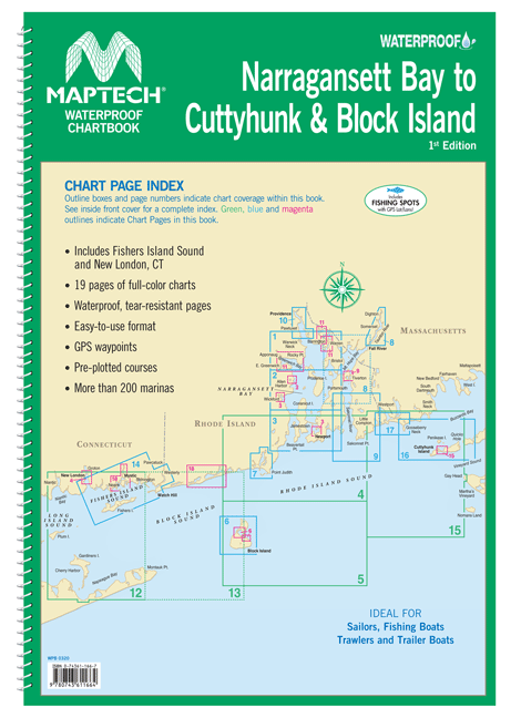
Also includes Fishers Island Sound and New London, CT. Offers full-color charts on waterproof, tear-resistant pages. Easy-to-use format includes GPS waypoints, pre-plotted courses and more than 200 marinas. 19 chart pages.
$69.95
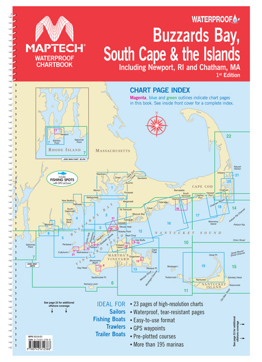
Covers Buzzards Bay, Vineyard Sound, Nantucket Sound, Newport, RI, Chatham, MA and the Islands. 23 chart pages.
$149.95
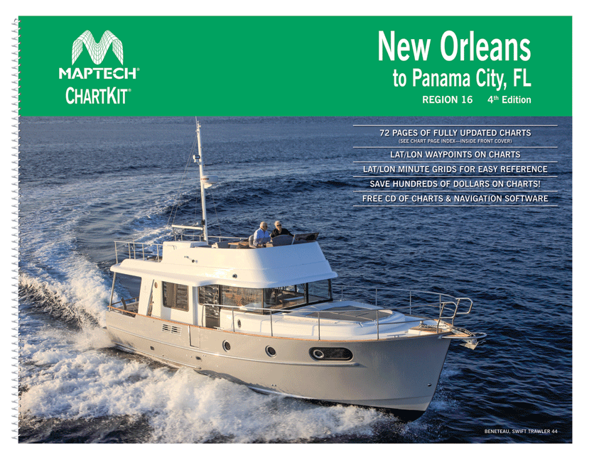
ChartKit® Region 16, 4th EditionNew Orleans to Panama City, FL Completely updated. Coastal and offshore coverage. Full-color charts, GPS waypoints, courses and distances. Save hundreds of dollars on government charts when purchasing a single ChartKit®. Chartbook Companion Software included free...
$149.95
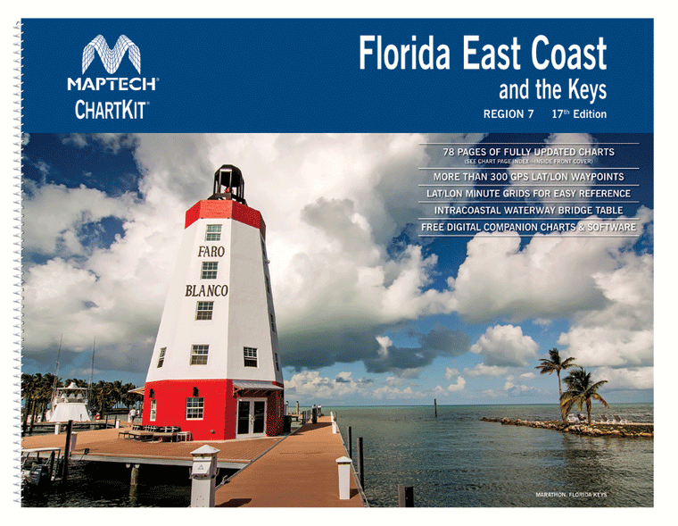
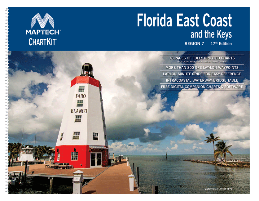
ChartKit® Region 7, 17th EditionFlorida East Coast and the Keys St. Marys Entrance to Dry Tortugas, inside and outside, including St. Johns River, St. Lucie River and Lake Okeechobee. Full-color charts, waypoints, courses and distances, chart datums for GPS, Yeoman...
$49.95
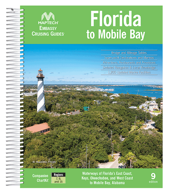
Complete coverage of Florida’s East Coast, Gulf Coast to Mobile, AL, the Florida Keys, the Okeechobee Waterway. Features detailed navigation advice, superyacht facilities, aerial photos, destination and dining tips, comprehensive bridge tables, GPS waypoints and detailed listings for 1,200 marine facilities....

$49.95
Long Island Sound to Cape May, NJ, 20th Edition New York Harbor to Block Island, the Hudson River, the Connecticut River, Long Island's South Shore, and the New Jersey Coast to Cape May. Packed with detailed listings for 1,350 marinas,...

$49.95
Florida to Mobile Bay, 10th Edition Complete coverage of Florida’s East Coast, Gulf Coast to Mobile, AL, the Florida Keys, the Okeechobee Waterway. Features detailed navigation advice, superyacht facilities, aerial photos, destination and dining tips, comprehensive bridge tables, GPS waypoints...

$49.95
Chesapeake Bay to Florida & the ICW, 9th Edition Cape May and Delaware Bay through the Chesapeake and Intracoastal Waterway and offshore to Fernandina Beach in northern Florida. Packed with detailed listings for marinas, local navigation advice, aerial photos, and...

$29.95
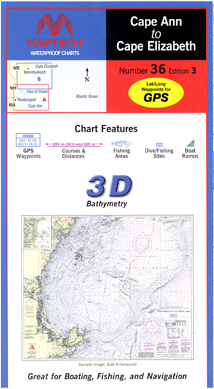
Cape Ann to Cape Elizabeth, 3rd Edition Cape Ann, MA to Cape Elizabeth, ME. Featuring new shaded-relief "3D" format, GPS waypoints for major buoys, courses and distances. 24" x 36", scale 1:106,666 with insets.
$29.95
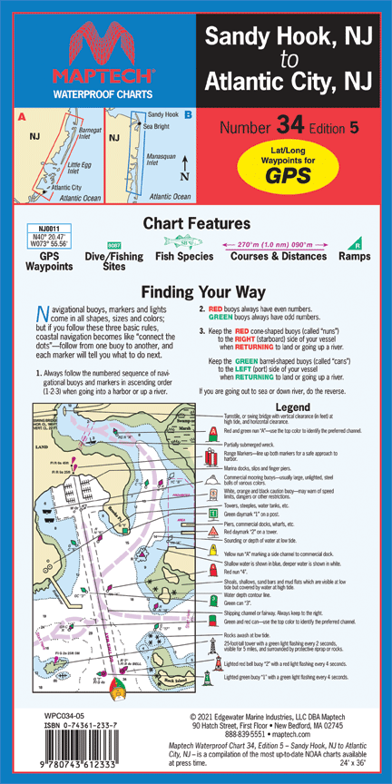
Sandy Hook NJ to Atlantic City NJ, 5th Edition Navesink and Shrewsbury rivers, Barnegat Bay, and Beach Haven, Little Egg, Brigantine, and Absecon inlets. Featuring GPS waypoints, dive and fishing sites, fish species, courses and distances, and ramps. 24" x...

$29.95
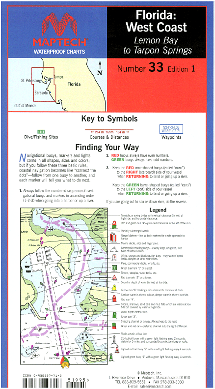
Lemon Bay to Tarpon Springs, 1st Edition Featuring waypoints for major buoys, courses and distances, fishing sites, anchorages, and ramp locations. 24" x 36", scales 1:107,000 and 109,000.

$29.95
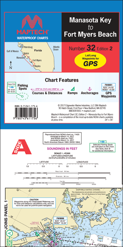
Manasota Key to Fort Myers Beach, 2nd Edition Manasota Key to Fort Myers Beach. Featuring waypoints for major buoys, anchorages, courses and distances, fish/dive sites, and ramp locations and information. 24" x 36", scale 1:47,000 with insets. ICW and coast...