WAGGONER TRIO- ON SALE NOW!!!
- Shop by Department
- Nautical Charts
- New Releases
- Marine Education Textbooks
- About Us
- +Shop by Department
- +Nautical Charts
- New Releases
- +Marine Education Textbooks
- +About Us
- Contact Us
- FAQ
- Repair Services
- Sign in

$79.95
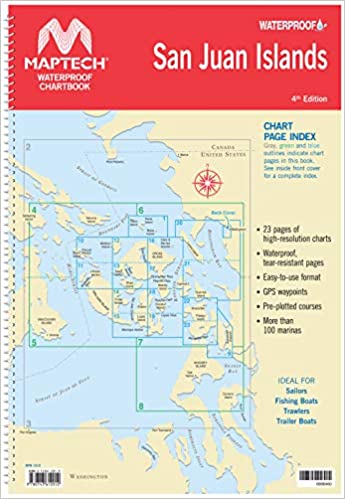
Sold Out
San Juan Islands Chartbook - 4th Edition Waterproof Chartbook Spiral-bound chartbook with color reproductions of NOAA charts, printed on durable waterproof and tear-resistant paper. Features pre-plotted courses and more.
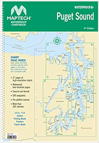
$69.95
4th Edition Spiral-bound chartbook with color reproductions of NOAA charts, printed on durable waterproof and tear-resistant paper. Features pre-plotted courses and more.
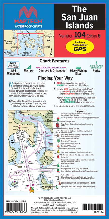
$24.95
Maptech Number 104- Edition 5 Folding chart printed on durable waterproof and tear-resistant paper. Features pre-plotted courses and distances, GPS waypoints, marine facilities, and parks.#
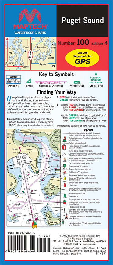
$24.95
Maptech Number 100 - Edition 5 Folding chart printed on durable waterproof and tear-resistant paper. Features pre-plotted courses and distances, GPS waypoints, marine facilities, and parks.#


