WAGGONER TRIO- ON SALE NOW!!!
- Shop by Department
- Nautical Charts
- New Releases
- Marine Education Textbooks
- About Us
- +Shop by Department
- +Nautical Charts
- New Releases
- +Marine Education Textbooks
- +About Us
- Contact Us
- FAQ
- Repair Services
- Sign in

MAPTECH-R03-17
$149.95
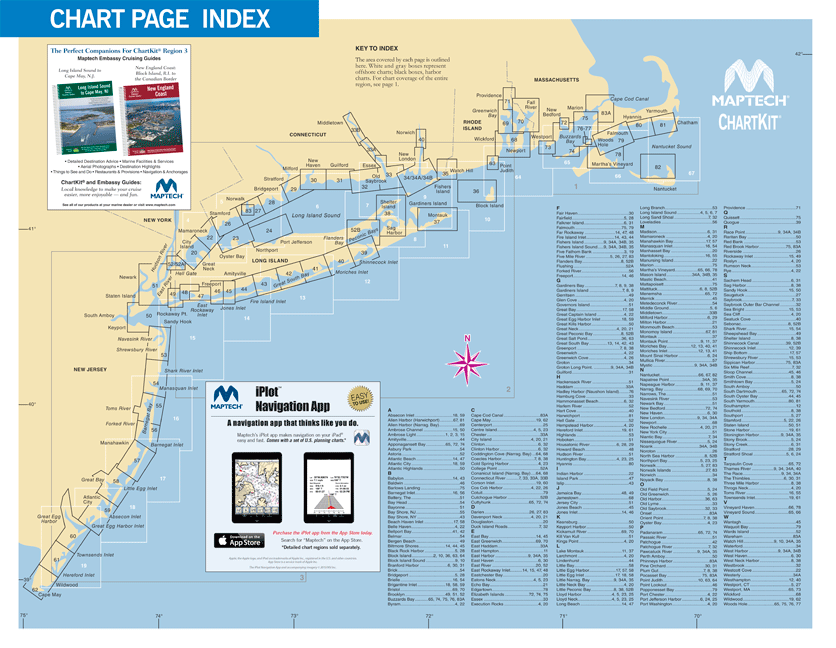
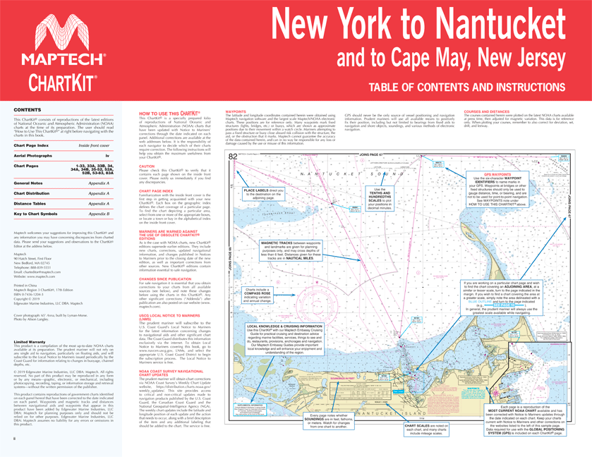
ChartKit® Region 3, 17th Edition
New York to Nantucket and to Cape May, New Jersey
Maptech®’s ChartKits® are full-color reproductions of NOAA charts bundled together in large cruising regions.
ChartKits® have been a mainstay of boating for generations—more than 1 million ChartKits® have been sold in the past 30 years! Chartbook Companion Software included free with continental ChartKit® books.
90 Chart Pages
A Great Value You’ll save up to 90% compared to the cost of purchasing individual government charts.
The Perfect Size Large enough to plot routes; small enough to fit on your lap.
Easy to Use Pre-plotted waypoints and lat/long grids for your GPS; magnetic courses for your compass.
Fully Referenced Geographic and alphabetical indexes quickly point you to the right page.
Reliable A great primary or secondary navigational reference.
No Batteries Required!
Sold Out
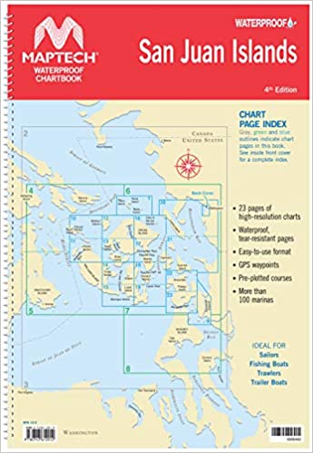
San Juan Islands Chartbook - 4th Edition Waterproof Chartbook Spiral-bound chartbook with color reproductions of NOAA charts, printed on durable waterproof and tear-resistant paper. Features pre-plotted courses and more.
$69.95
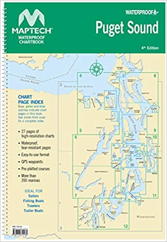
4th Edition Spiral-bound chartbook with color reproductions of NOAA charts, printed on durable waterproof and tear-resistant paper. Features pre-plotted courses and more.
$24.95
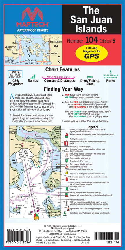
Maptech Number 104- Edition 5 Folding chart printed on durable waterproof and tear-resistant paper. Features pre-plotted courses and distances, GPS waypoints, marine facilities, and parks.#
$24.95
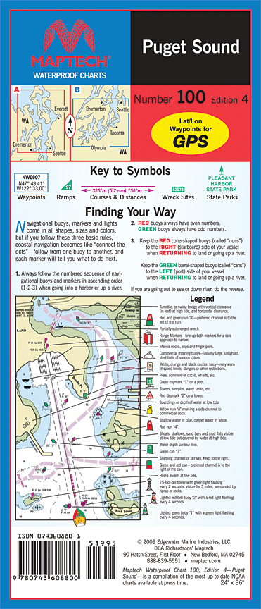
Maptech Number 100 - Edition 5 Folding chart printed on durable waterproof and tear-resistant paper. Features pre-plotted courses and distances, GPS waypoints, marine facilities, and parks.#


