WAGGONER TRIO- ON SALE NOW!!!
- Shop by Department
- Nautical Charts
- New Releases
- Marine Education Textbooks
- About Us
- +Shop by Department
- +Nautical Charts
- New Releases
- +Marine Education Textbooks
- +About Us
- Contact Us
- FAQ
- Repair Services
- Sign in

NGTB-D2S
$175.00
Size: 16" x 20"
Laser-cut wooden relief map of Grand Traverse Bay, featuring Grand Traverse Bay, the Leelanau Peninsula, and Old Mission Peninsula. Map is framed and ready to hang, a unique and beautiful gift of artwork for sailors and land-lovers alike.
Points of Interest on Grand Traverse Map:Leelanau State Park, The Grand Traverse Lighthouse, Northport, Old Mission Peninsula, Sleeping Bear Bay, and Traverse City
Grand Traverse Wood Map Details:
Frame Styles:
Wood Charts are based on soundings and measurements from bathymetric and nautical charts. Each depth layer is laser-cut from sheets of Baltic birch and glued together "bread and butter" style to create the contours and shorelines of striking waterways. Select layers are hand-stained a rich blue-green color to discern water from land, and major byways are etched into the land. The whole work is framed in a custom, solid wood frame and protected with a sheet of durable, ultra-transparent acrylic.
This product is not stocked at Captain's store, but may be special-ordered from the manufacturer or distributor.
Please allow up to two weeks for your special-ordered item to arrive. Captain's will contact you if your item is expected to take longer, or if your item is out of stock at the supplier.
Returns of Special-Order Items:
Since this is a specialty item, there are no returns or exchanges for this product.
$49.95
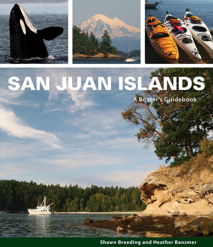
by Heather Bansmer & Shawn Breeding 2nd Edition San Juan Islands: A Boater’s Guidebook, is the newest, most up to date guide featuring the vibrant and pristine anchorages of Washington state’s cherished San Juan Islands

$46.00 $49.00
What's New In The 2026 Waggoner Cruising Guide: 528 PAGES OF ESSENTIAL PNW BOATING INFOINSIDE PASSAGE LOCAL KNOWLEDGEBORDER CROSSING PROCEDURESENTERTAINING NAUTICAL PET TALES SIDEBARS300+ DETAILED MAPS & DOCK DIAGRAMS500+ MARINAS & MARINE PARKS780+ ANCHORAGES Waggoner Cruising Guide is the...

$30.00 $35.00
Volume 1 Includes: Inside Waters Puget Sound San Juan Islands Juan de Fuca East Gulf Islands Sunshine Coast Strait of Georgia Desolation / Discovery Johnstone Strait Broughtons Region Ports and Passes is used by recreational boaters and professional mariners...
$49.95
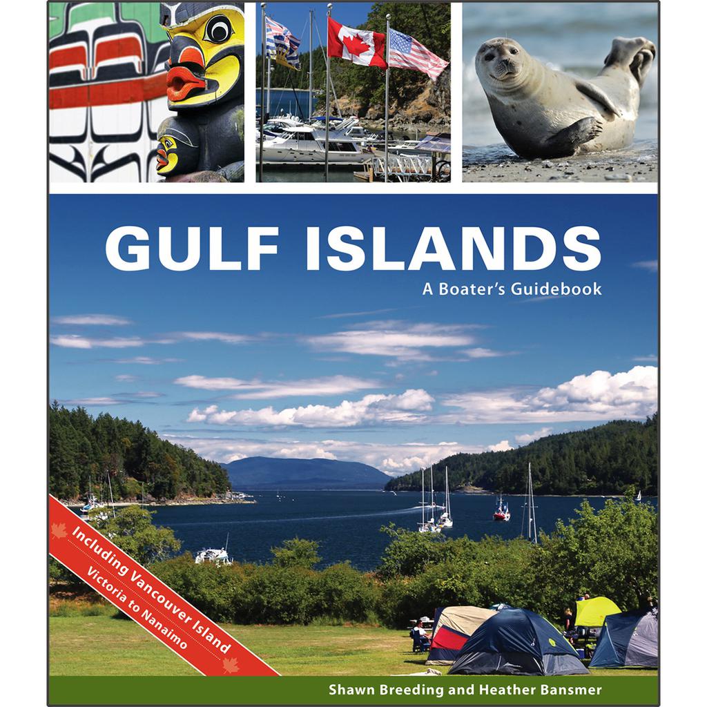
by Heather Bansmer & Shawn Breeding Gulf Islands: A Boater’s Guidebook, was created for the adventurer, the mariner or charterer who wants to get the ultimate experience out of their Canadian cruise and to do it confidently. This guide covers...


