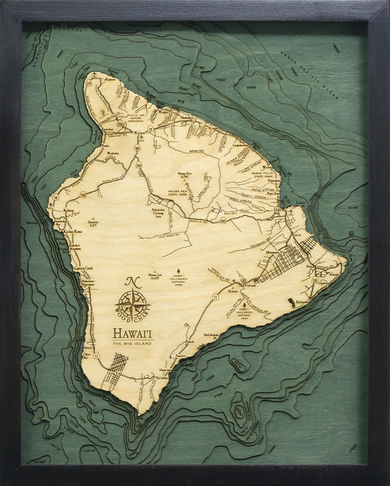
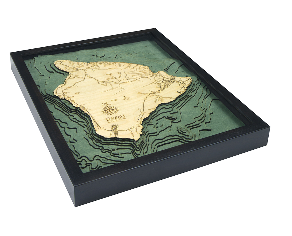
Hawaii ( The Big Island) 3-D Nautical Wood Chart (Small)
Size: 16" x 20"
Laser-cut wooden relief map of The Big Island, featuring Hawaii. Map is framed and ready to hang, a unique and beautiful gift of artwork for sailors and land-lovers alike.
Locale
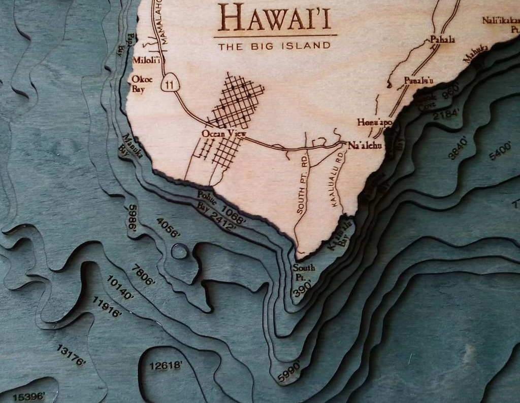
Hawaii, commonly called the Big Island, is the largest island in the Hawaiian archipelago. Its diverse terrain spans colored-sand beaches at Papakolea and Punalu’u to lush rainforest and, within Volcanoes National Park, 2 active volcanoes: Kilauea and Mauna Loa. Hapuna Beach and Kahaluu Beach Park in the west are known for snorkeling and water sports.
Points of Interest: Captain Cook, Hawai'i Volcanoes National Park, Hilo Bay, Kalaoa, Kilauea, Mauna Kea, Mauna Loa, and Wailea.
About
Wood Charts are based on soundings and measurements from bathymetric and nautical charts. Each depth layer is laser-cut from sheets of Baltic birch and glued together "bread and butter" style to create the contours and shorelines of striking waterways. Select layers are hand-stained a rich blue-green color to discern water from land, and major byways are etched into the land. The whole work is framed in a custom, solid wood frame and protected with a sheet of durable, ultra-transparent acrylic.
Special Order
This product is not stocked at Captain's store, but may be special-ordered from the manufacturer or distributor.
Please allow up to two weeks for your special-ordered item to arrive. Captain's will contact you if your item is expected to take longer, or if your item is out of stock at the supplier.
Returns of Special-Order Items:
Since this is a specialty item, there are no returns or exchanges for this product.