WAGGONER TRIO- ON SALE NOW!!!
- Shop by Department
- Nautical Charts
- New Releases
- Marine Education Textbooks
- About Us
- +Shop by Department
- +Nautical Charts
- New Releases
- +Marine Education Textbooks
- +About Us
- Contact Us
- FAQ
- Repair Services
- Sign in


WoodCharts-DELA-D3L
$340.00
Size: 24.5 x 31 inches
Laser-cut wooden relief map of Delaware Bay, featuring Delaware Bay on the Northeast seaboard. Map is framed and ready to hang, a unique and beautiful gift of artwork for sailors and land-lovers alike.
Delaware Bay is known as "the other Jersey Shore". It is one of the most important navigational channels in the United States and is America's second busiest waterway after the Mississippi River.The bay is bordered inland by the States of New Jersey and Delaware, and the Delaware Capes, Cape Henlopen and Cape May, on the Atlantic.
Points of Interest: Delaware River, Dover, Lebanon, Lewes, Cape Henlopen State Park, Cape May, Millville, Bridgeton, and Cedarville.
Wood Charts are based on soundings and measurements from bathymetric and nautical charts. Each depth layer is laser-cut from sheets of Baltic birch and glued together "bread and butter" style to create the contours and shorelines of striking waterways. Select layers are hand-stained a rich blue-green color to discern water from land, and major byways are etched into the land. The whole work is framed in a custom, solid wood frame and protected with a sheet of durable, ultra-transparent acrylic.
This product is not stocked at Captain's store, but may be special-ordered from the manufacturer or distributor.
Please allow up to two weeks for your special-ordered item to arrive. Captain's will contact you if your item is expected to take longer, or if your item is out of stock at the supplier.
Returns of Special-Order Items:
Since this is a specialty item, there are no returns or exchanges for this product.
$49.95
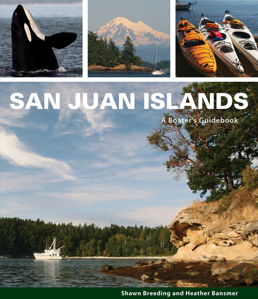
by Heather Bansmer & Shawn Breeding 2nd Edition San Juan Islands: A Boater’s Guidebook, is the newest, most up to date guide featuring the vibrant and pristine anchorages of Washington state’s cherished San Juan Islands

$46.00 $49.00
What's New In The 2026 Waggoner Cruising Guide: 528 PAGES OF ESSENTIAL PNW BOATING INFOINSIDE PASSAGE LOCAL KNOWLEDGEBORDER CROSSING PROCEDURESENTERTAINING NAUTICAL PET TALES SIDEBARS300+ DETAILED MAPS & DOCK DIAGRAMS500+ MARINAS & MARINE PARKS780+ ANCHORAGES Waggoner Cruising Guide is the...

$30.00 $35.00
Volume 1 Includes: Inside Waters Puget Sound San Juan Islands Juan de Fuca East Gulf Islands Sunshine Coast Strait of Georgia Desolation / Discovery Johnstone Strait Broughtons Region Ports and Passes is used by recreational boaters and professional mariners...
$49.95
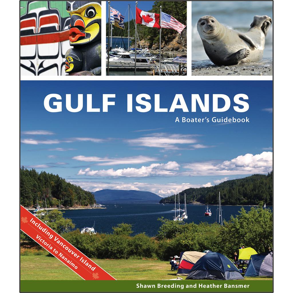
by Heather Bansmer & Shawn Breeding Gulf Islands: A Boater’s Guidebook, was created for the adventurer, the mariner or charterer who wants to get the ultimate experience out of their Canadian cruise and to do it confidently. This guide covers...


