WAGGONER TRIO- ON SALE NOW!!!
- Shop by Department
- Nautical Charts
- New Releases
- Marine Education Textbooks
- About Us
- +Shop by Department
- +Nautical Charts
- New Releases
- +Marine Education Textbooks
- +About Us
- Contact Us
- FAQ
- Repair Services
- Sign in
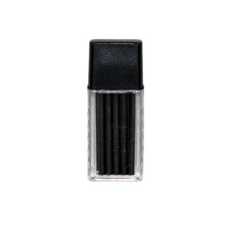
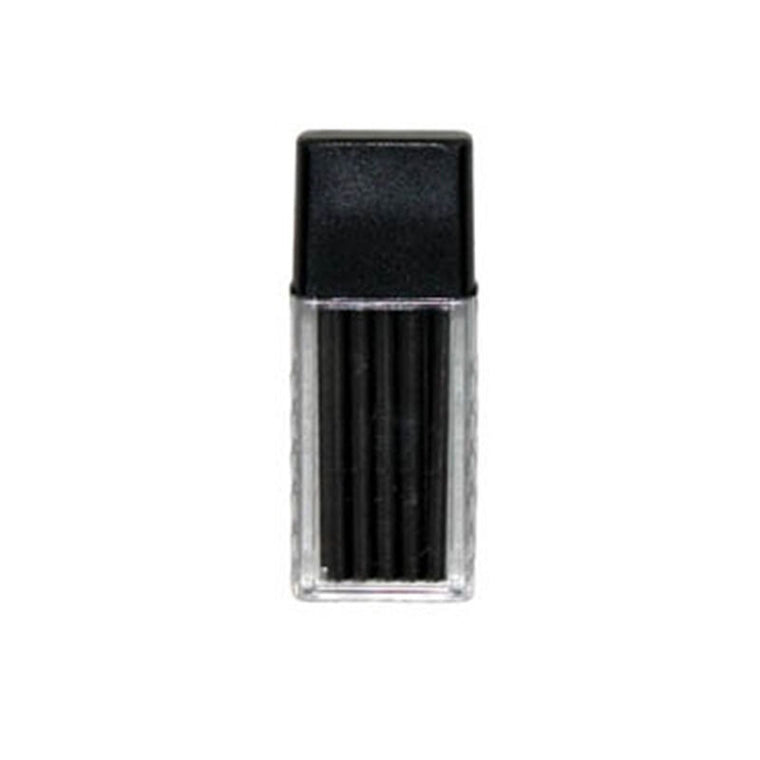
$12.95
This kit includes 15 spare compass leads suitable for Weems & Plath dividers (176, 178 & 179). The reusable clear plastic case is a safe and convenient container for lead storage. (Also available in a box of 2 (7231)....
$41.99
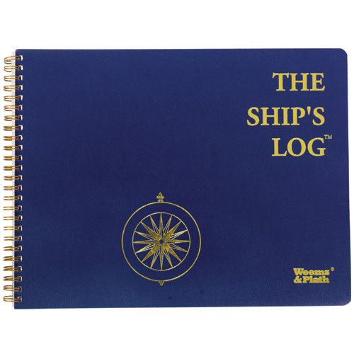
The Ship's Log book includes a diary type format consisting of lined pages for recording ship data and activities. It also contains guest register, vessel specifications, and serial number list pages, as well as quick reference pages on topics including:...

$40.99
Weems and Plath Cruising Log Every boat captain needs a log book on board to record critical information. The Cruising Log Book provides ample space for recording information about your nautical excursions. Includes a guest registry and quick reference...

$39.99
Weems and Plath Item 80 Keep your charts protected in the Telescoping Chart Case, a tubular-shaped fully enclosed black plastic case. Reinforced rib design provides strength. Twist-lock telescoping feature easily adjusts to accommodate chart lengths from 24 inches to 47...
$41.99
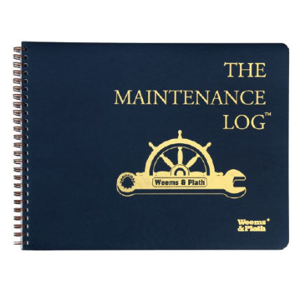
Every boat captain needs a ship log book on board to record critical information. The Ship Log has an attractive, embossed cover made of heavy, flexible waterproof material. Its spiral binding allow pages to open flat for ease in recording...

$10.99
Weems and Plath Item 92323 Hand addition to any navigational kit for keeping proper point on pencils and compass leads. Overview Hand addition to any navigational kit for keeping proper point on pencils and compass leads. Specifications Keeps proper points...

$21.95
by Craig Romano 100 Classic Hikes: Washington has been an iconic state trails guidebook for decades. Initially written by the godfathers of Washington guidebooks, Ira Spring and Harvey Manning, 100 Classics has been fully revised and updated by their spiritual...
$33.99
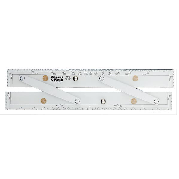
No navigator should be without a good set of parallel rules as part of the navigation back up plan in the event of an electronic navigation failure. These parallel rules are accurate and durable. Choose from four arm lengths. Overview...

$24.95
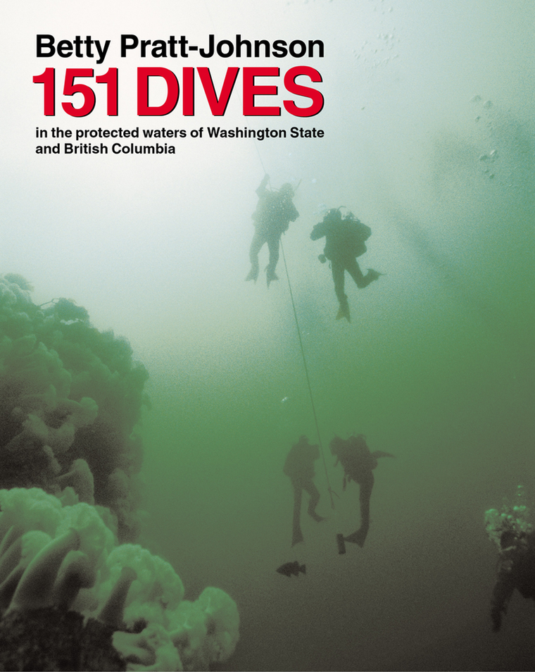
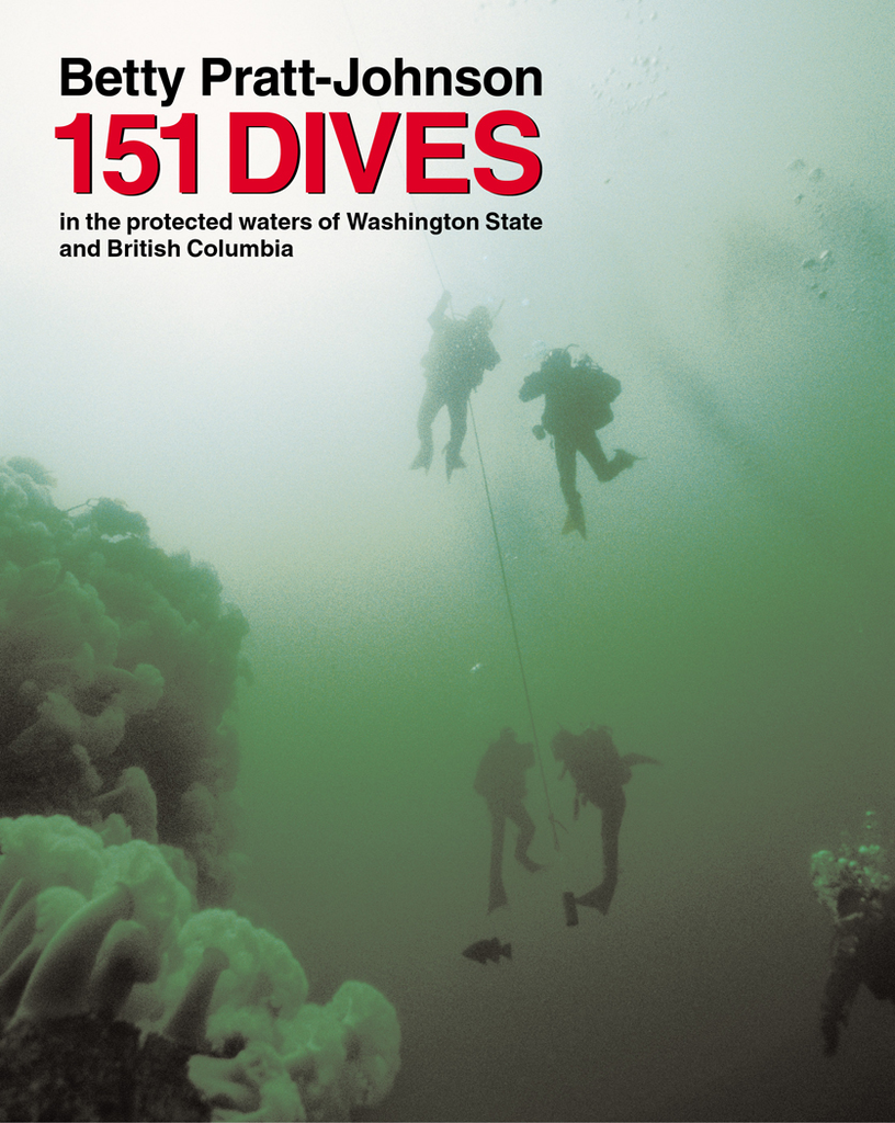
by Betty Pratt-Johnson

$36.99
No navigator should be without a good set of parallel rules as part of the navigation back up plan in the event of an electronic navigation failure. These parallel rules are accurate and durable. Choose from four arm lengths. Overview...
$29.95
by Betty Pratt-Johnson In 151 Dives, Betty Pratt-Johnson focuses on the waters she knows best: that of Washington and British Columbia. She has personally completed each dive and chosen them for this new guidebook based on the special features that...

Sold Out
The Distances Between United States Ports publication is created through a joint effort between the Office of Coast Survey, NOS and NOAA. This publication contains the most direct, calculated distances between departure ports, junction points, and arrival ports in the...

$29.95
Emergency Response Guidebook-2020 Edition, This is still the newest edition! Spiralbound, Full Color A guidebook intended for use by first responders during the initial phase of a transportation incident involving hazardous materials/dangerous goods
$59.95
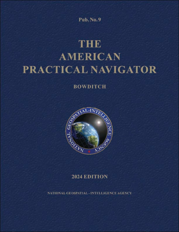
This is the 2024 edition of the Bowditch (volume 2) with ALL CORRECTIONS and PROPER PAGE NUMBERING. Our version is printed in color and produced with generous margins to make the book easier to read. Printed at full size, 8.5...

$69.95
This is the 2024 edition of the Bowditch (volume 1) with ALL CORRECTIONS and PROPER PAGE NUMBERING. Our version is printed in color and produced with generous margins to make the book easier to read. Printed at full size, 8.5...

$19.95
2026 Edition Contains daily predictions for the expected behaviors of the oceans along the eastern coasts of North and South America, as well as the western coasts of Europe and Africa, and its waves through charts, graphs, and informative writing....

$19.95
2026 Canadian Tide and Current Tables - Juan De Fuca Strait and Strait of Georgia (Volume 5) Tide tables include predicted times and heights of the high and low waters associated with the vertical movement of the tide. They're...

$19.95
2026 Canadian Tide and Current Tables - Discovery Passage and West Coast of Vancouver Island (Volume 6) Tide tables include predicted times and heights of the high and low waters associated with the vertical movement of the tide. They're...

$19.95
2026 Canadian Tide and Current Tables - Queen Charlotte Sound to Dixon Entrance (Volume 7) Tide tables include predicted times and heights of the high and low waters associated with the vertical movement of the tide. They're available in...

$26.95
2026 Capt'n Jack's Bristol Bay Tide & Current Almanac - Out Now! The 2026 Bristol Bay, Alaska Almanac- Salmon Season Edition. Exclusive "page-a-day" graphic format. Updated in March of each year

$19.95
2026 EDITION 2026 Pacific Coast of North America Current Tables informs the reader on the expected behaviors of the oceans along the West Coast of Canada, the United States, and Mexico, as well as the eastern coast of China, Japan,...

$53.00
2026 Light List: Volume 1 - St. Croix River, Maine to Shrewsbury River, New Jersey. The USCG Light List is published in seven volumes and contains lights and other aids to navigation used for general navigation that are maintained by...

$53.00
2026 Light List: Volume 2 - Shrewsbury River, New Jersey to Little River, South Carolina. The USCG Light List is published in seven volumes and contains lights and other aids to navigation used for general navigation that are maintained by...

$55.00
2026 Light List: Volume 3 - Little River, South Carolina to Ecofina River, Florida (Includes Puerto Rico and the U.S. Virgin Islands). The USCG Light List is published in seven volumes and contains lights and other aids to navigation used...