Sold Out
10th Edition Coastal and offshore coverage. Full-color charts, GPS waypoints, courses and distances, Yeoman points, and color aerial photos. Save hundreds of dollars on charts. 22 X 17", 71 chart pages. ChartKits® have been a mainstay of boating for generations—more than...
$149.95
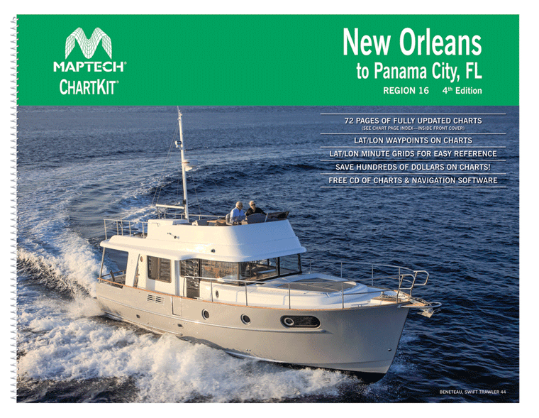
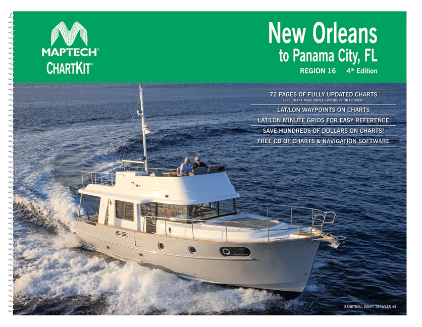
ChartKit® Region 16, 4th EditionNew Orleans to Panama City, FL Completely updated. Coastal and offshore coverage. Full-color charts, GPS waypoints, courses and distances. Save hundreds of dollars on government charts when purchasing a single ChartKit®. Chartbook Companion Software included free...
$69.95
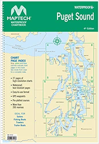
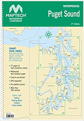
4th Edition Spiral-bound chartbook with color reproductions of NOAA charts, printed on durable waterproof and tear-resistant paper. Features pre-plotted courses and more.