Lake Winnebago, Wisconsin 3-D Nautical Wood Chart (Medium)
Size: 13.5" x 31"
Laser-cut wooden relief map of Lake Winnebago, featuring Lake Winnebago, Wisconsin. Map is framed and ready to hang, a unique and beautiful gift of artwork for sailors and land-lovers alike.
Locale
Lake Winnebago is the largest lake entirely within the state of Wisconsin. It has many shallow reefs along the west shore, and a drop-off type of shoreline on the east. There are also several islands along the west shore. The lake's two primary tributaries are the Wolf River and the Fox River.
Points of Interest: Oshkosh, Fond du Lac, Neenah, Menasha, Doty Island, Calumet County Park, Winnebago County Park, and Friendship State Trail.
About
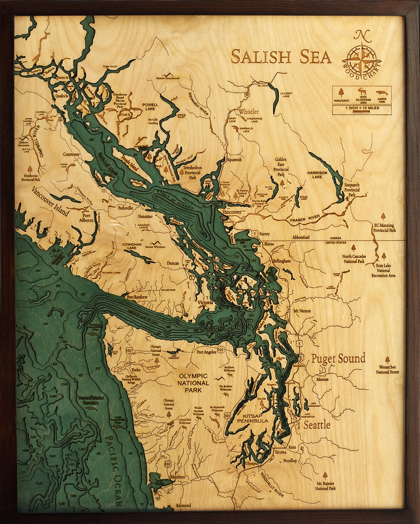
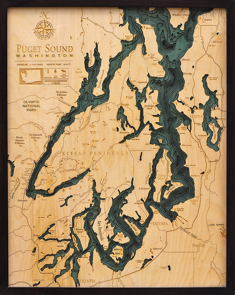
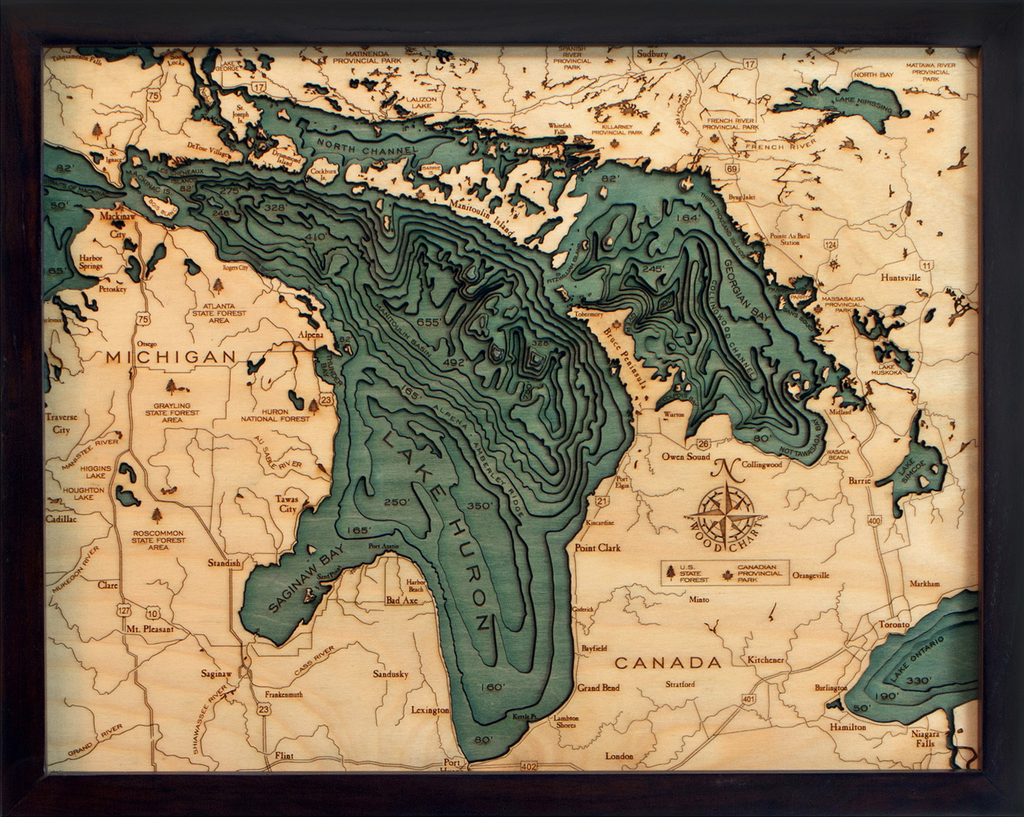
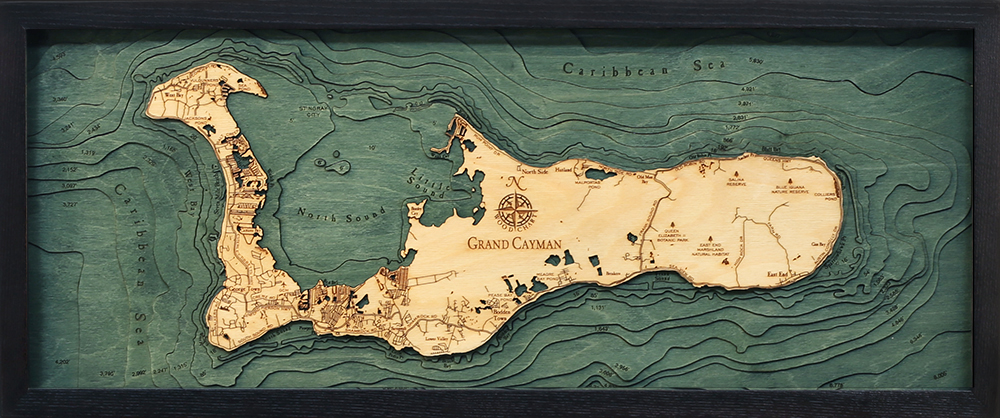
Wood Charts are based on soundings and measurements from bathymetric and nautical charts. Each depth layer is laser-cut from sheets of Baltic birch and glued together "bread and butter" style to create the contours and shorelines of striking waterways. Select layers are hand-stained a rich blue-green color to discern water from land, and major byways are etched into the land. The whole work is framed in a custom, solid wood frame and protected with a sheet of durable, ultra-transparent acrylic.
Special Order
This product is not stocked at Captain's store, but may be special-ordered from the manufacturer or distributor.
Please allow up to two weeks for your special-ordered item to arrive. Captain's will contact you if your item is expected to take longer, or if your item is out of stock at the supplier.
Returns of Special-Order Items:
Since this is a specialty item, there are no returns or exchanges for this product.