Hawaiian Islands (all of them), Hawaii 3-D Nautical Wood Chart (Narrow)
Size: 13.5" x 43"
Laser-cut wooden relief map of the Hawaiian Islands, featuring Hawaii. Map is framed and ready to hang, a unique and beautiful gift of artwork for sailors and land-lovers alike.
Locale
The exposed peaks of a massive undersea mountain range, the Hawaiian Islands are an archipelago of 8 major islands which were formed as the Pacific tecton ic plate moved over a hotspot in the Earth's mantle (at a rate of about 32 miles per million years). With more than 750 miles of shoreline, a temperate tropical climate, and a vibrant culture, there's something in Hawaii for everyone.
Points of Interest: Hawai'i Volcanoes National Park, Pearl Harbor, Honolulu, Hilo, Mauna Kea, Kilauea, and Mauna Loa.
About
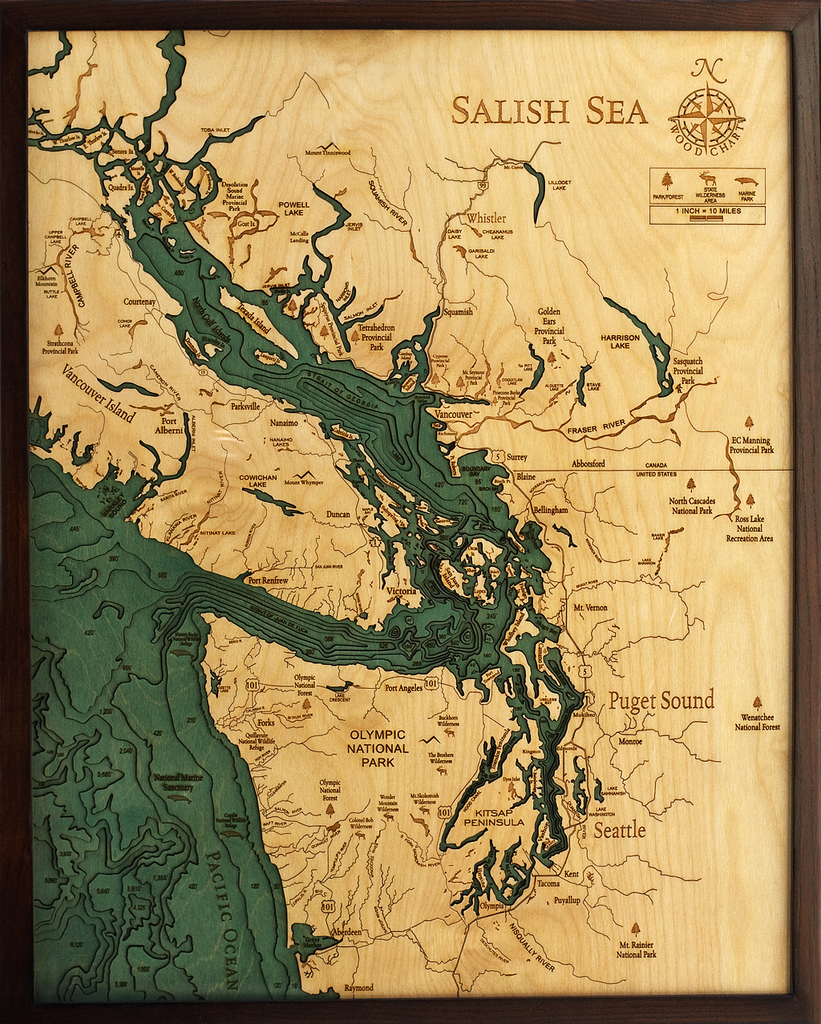
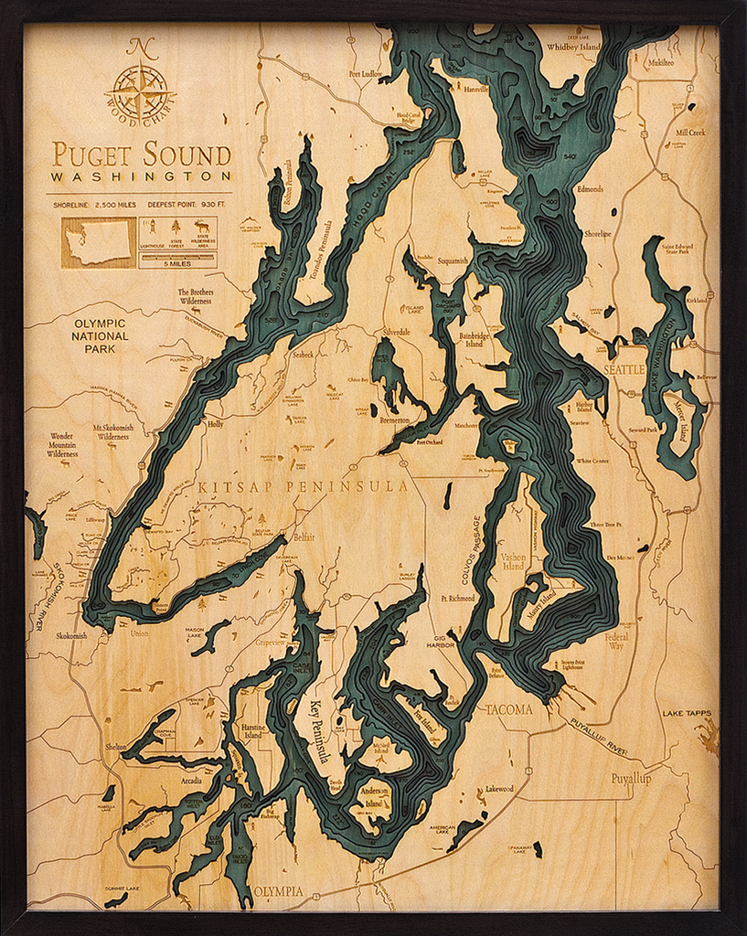
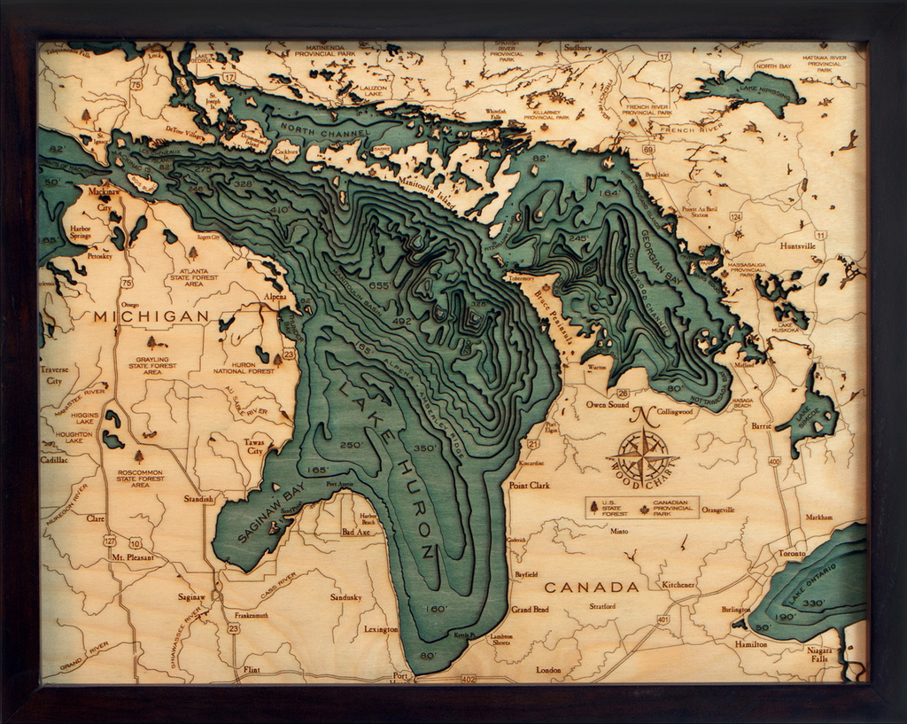
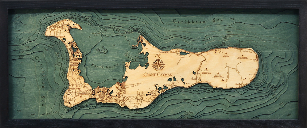
Wood Charts are based on soundings and measurements from bathymetric and nautical charts. Each depth layer is laser-cut from sheets of Baltic birch and glued together "bread and butter" style to create the contours and shorelines of striking waterways. Select layers are hand-stained a rich blue-green color to discern water from land, and major byways are etched into the land. The whole work is framed in a custom, solid wood frame and protected with a sheet of durable, ultra-transparent acrylic.
Special Order
This product is not stocked at Captain's store, but may be special-ordered from the manufacturer or distributor.
Please allow up to two weeks for your special-ordered item to arrive. Captain's will contact you if your item is expected to take longer, or if your item is out of stock at the supplier.
Returns of Special-Order Items:
Since this is a specialty item, there are no returns or exchanges for this product.