$149.95
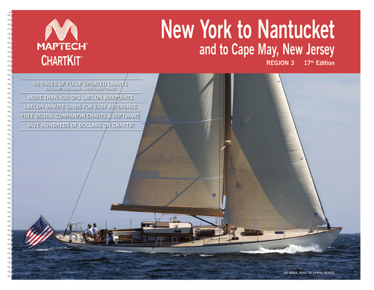
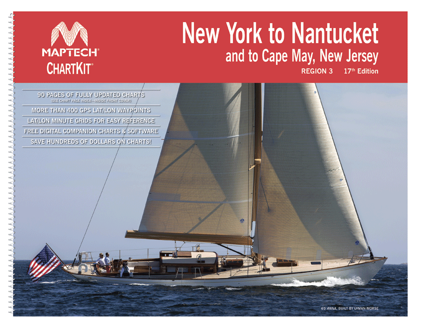
ChartKit® Region 3, 17th EditionNew York to Nantucket and to Cape May, New Jersey Maptech®’s ChartKits® are full-color reproductions of NOAA charts bundled together in large cruising regions.ChartKits® have been a mainstay of boating for generations—more than 1 million ChartKits®...
$49.95
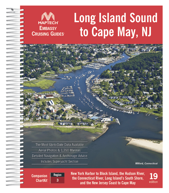
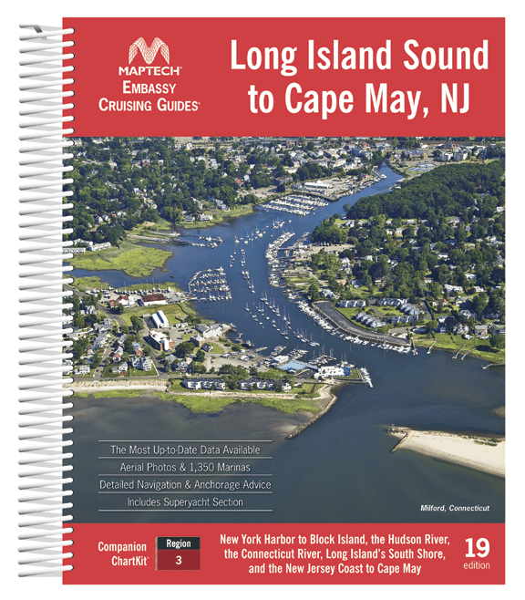
Covering New York Harbor to Block Island, the Hudson River, the Connecticut River, Long Island’s South Shore, and the New Jersey Coast to Cape May. Contains the most up-to-date data available, detailed navigation advice and anchorages, the best coastal dining...
$8.95
Nautical placemat, 18" x 12" printed on Waterproof paper, almost indestructible, food and wine will wipe right off. Each placemat is a reproduction of a NOAA Nautical Chart for this particular area and completely reusable!When we were first looking to...
$263.00
Great Sacandaga Lake 3-D Nautical Wood Chart (Medium) Size: 13.5" x 31" Laser-cut wooden relief map of Great Sacandaga Lake, featuring the Great Sacandaga Lake, in New York's Adirondack Park. Map is framed and ready to hang, a unique...