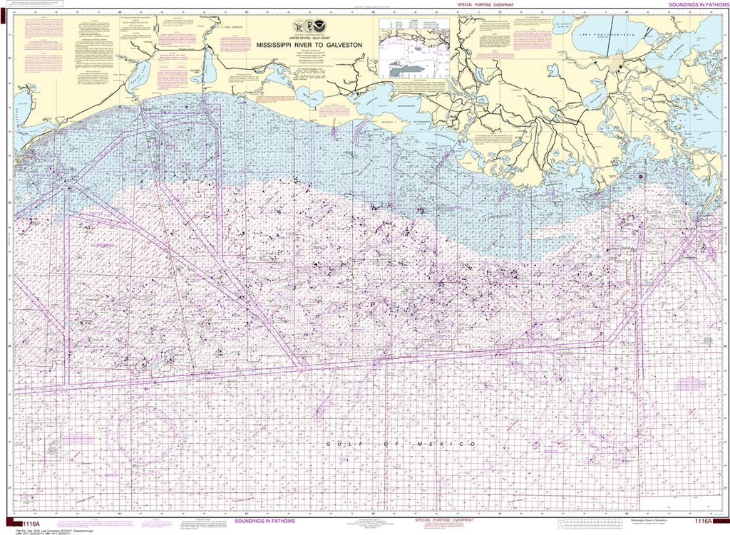
NOAA Chart 1116A: Mississippi River to Galveston (Oil and Gas Leasing Areas)
$23.75
The chart you are viewing is NOT updated weekly and does NOT include all the of the latest Notice to Mariners corrections. Region: Gulf Coast & Caribbean Islands Paper Size: 52" x 36" Chart Image Size: 35" x 49"...
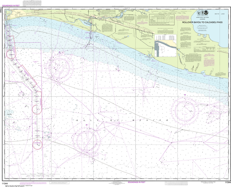
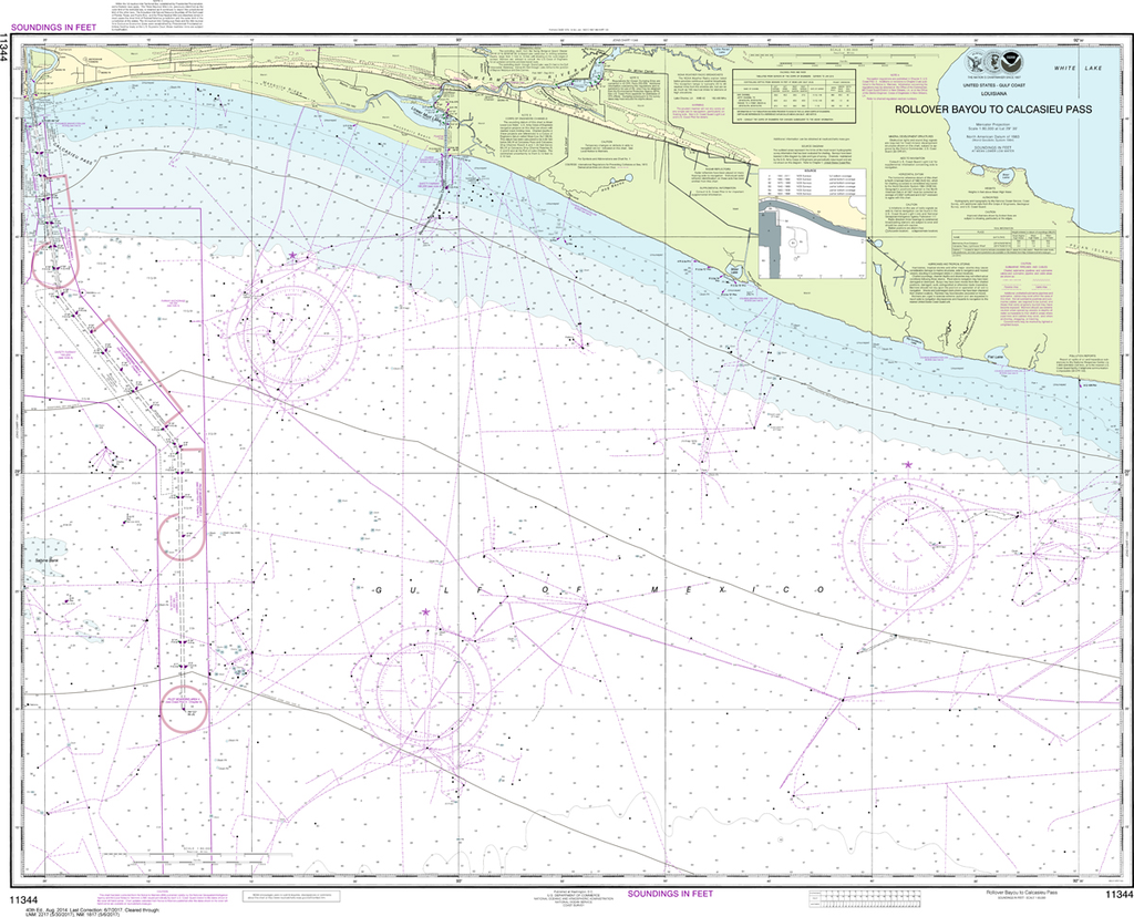
NOAA Chart 11344: Rollover Bayou to Calcasieu Pass
$23.75
The chart you are viewing is NOT updated weekly and does NOT include all the of the latest Notice to Mariners corrections. Region: Gulf Coast & Caribbean Islands Paper Size: 47" x 36" Chart Image Size: 35" x 44"...
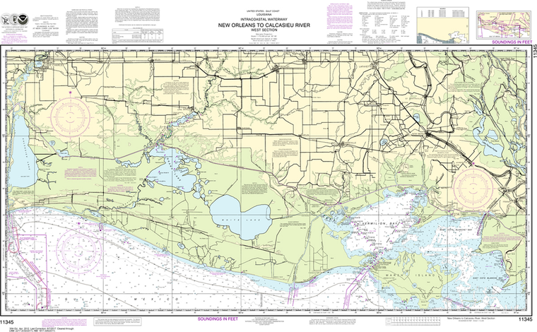
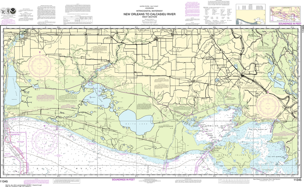
NOAA Chart 11345: Intracoastal Waterway - New Orleans to Calcasieu River West Section
$23.75
The chart you are viewing is NOT updated weekly and does NOT include all the of the latest Notice to Mariners corrections. Region: Gulf Coast & Caribbean Islands Paper Size: 46" x 36" Chart Image Size: 26" x 42"...
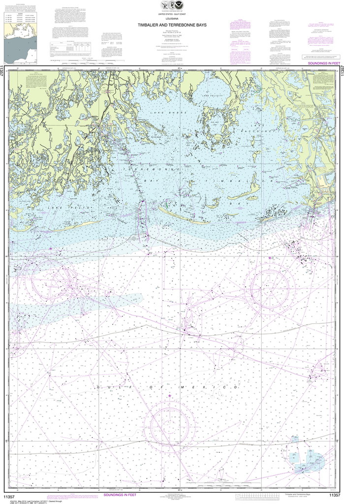
Region: Gulf Coast & Caribbean Islands Paper Size: 54" x 36" Chart Image Size: 51" x 31" Scale: 1:20,000 Captain's Nautical Supplies is a Print-on-Demand nautical chart dealer for US Waters. All charts are printed up-to-date and...
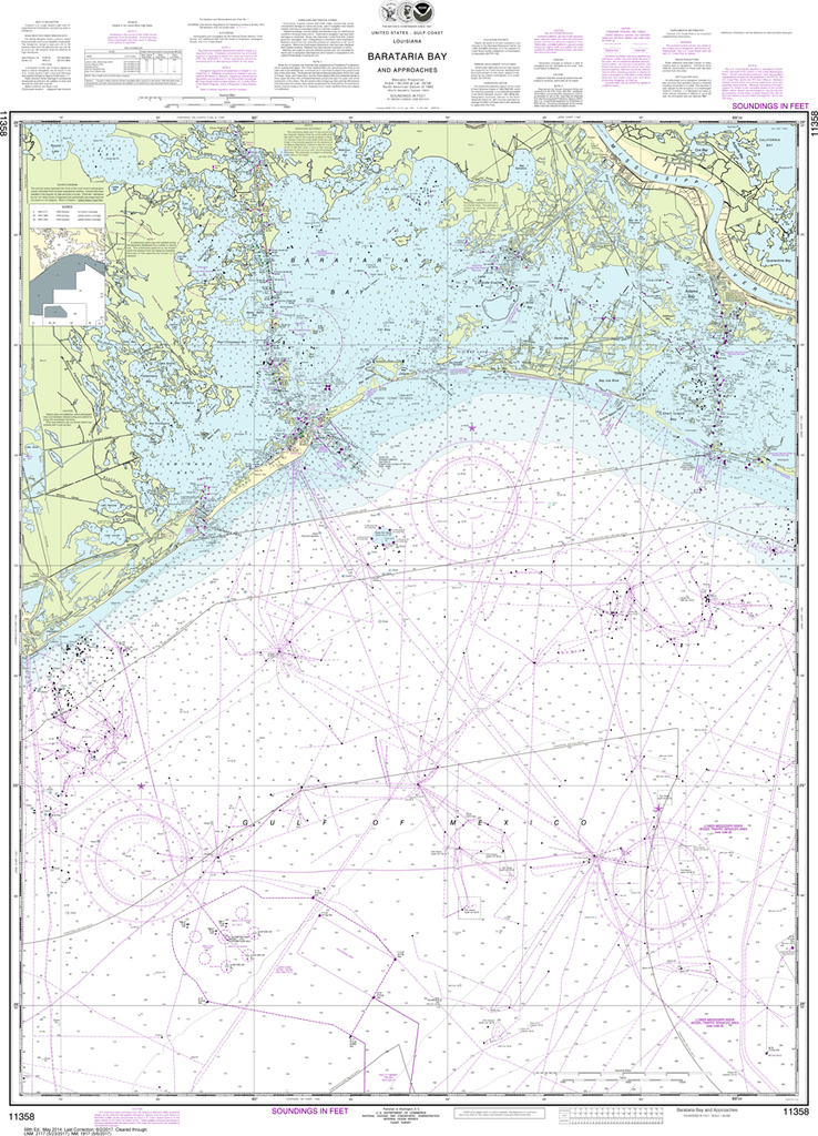
Region: Gulf Coast & Caribbean Islands Paper Size: 62" x 42" Chart Image Size: 41" x 59" Scale: 1:50,000 Captain's Nautical Supplies is a Print-on-Demand nautical chart dealer for US Waters. All charts are printed up-to-date and...
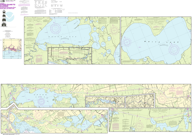
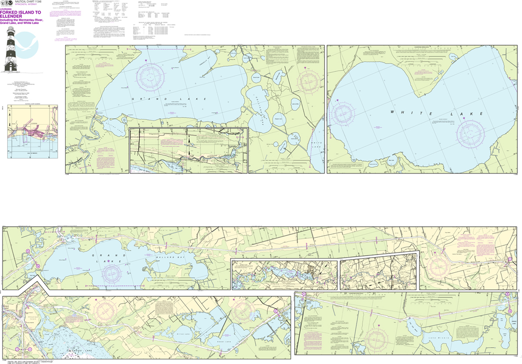
NOAA Chart 11348: Intracoastal Waterway - Forked Island to Ellender, including the Mermantau River, Grand Lake and White Lake
$23.75
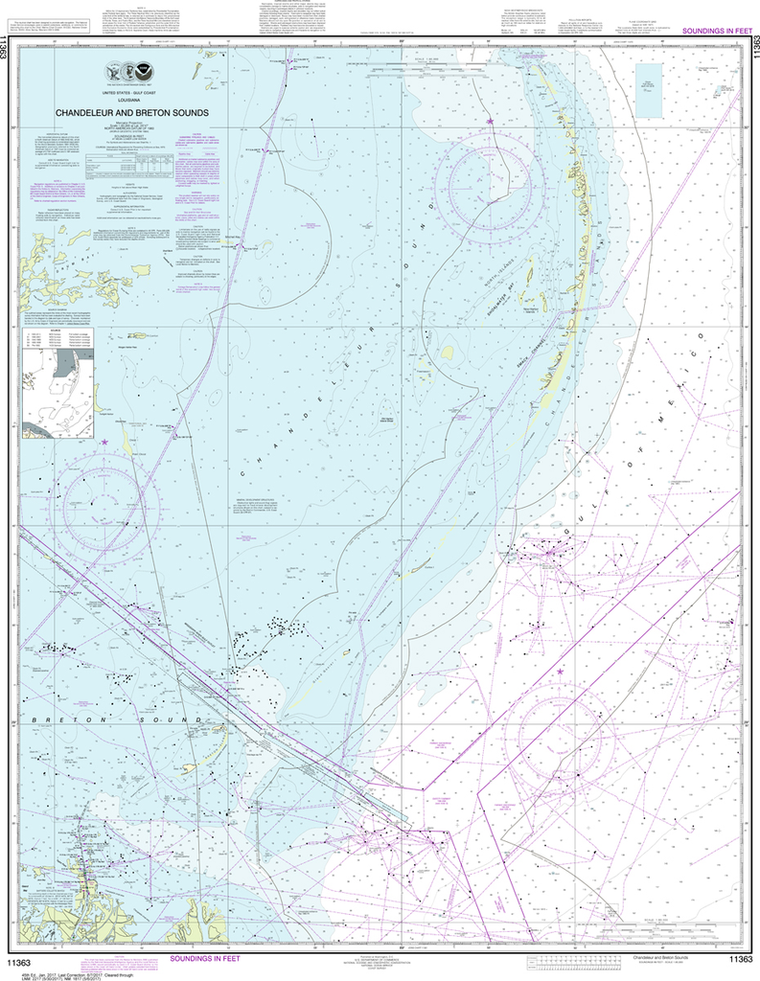
Region: Gulf Coast & Caribbean Islands Paper Size: 62" x 42" Chart Image Size: 41" x 59" Scale: 1:40,000 Captain's Nautical Supplies is a Print-on-Demand nautical chart dealer for US Waters. All charts are printed up-to-date and...
Region: Gulf Coast & Caribbean Islands Paper Size: 49" x 36" Chart Image Size: 46" x 34" Scale: 1:80,000 Captain's Nautical Supplies is a Print-on-Demand nautical chart dealer for US Waters. All charts are printed up-to-date and...
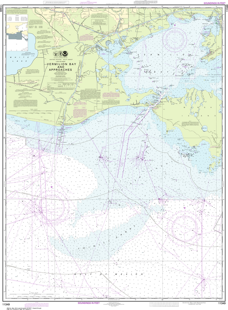
NOAA Chart 11350: Intracoastal Waterway - Wax Lake Outlet to Forked Island including Bayou Teche, Vermilion River, and Freshwater Bayou
$23.75
The chart you are viewing is NOT updated weekly and does NOT include all of the latest Notice to Mariners corrections. Region: Gulf Coast & Caribbean Islands Paper Size: 62" x 42" Chart Image Size: 41" x 59" Scale:...
The chart you are viewing is NOT updated weekly and does NOT include all of the latest Notice to Mariners corrections. Region: Gulf Coast & Caribbean Islands Paper Size: 50" x 36" Chart Image Size: 46" x 33" Scale:...
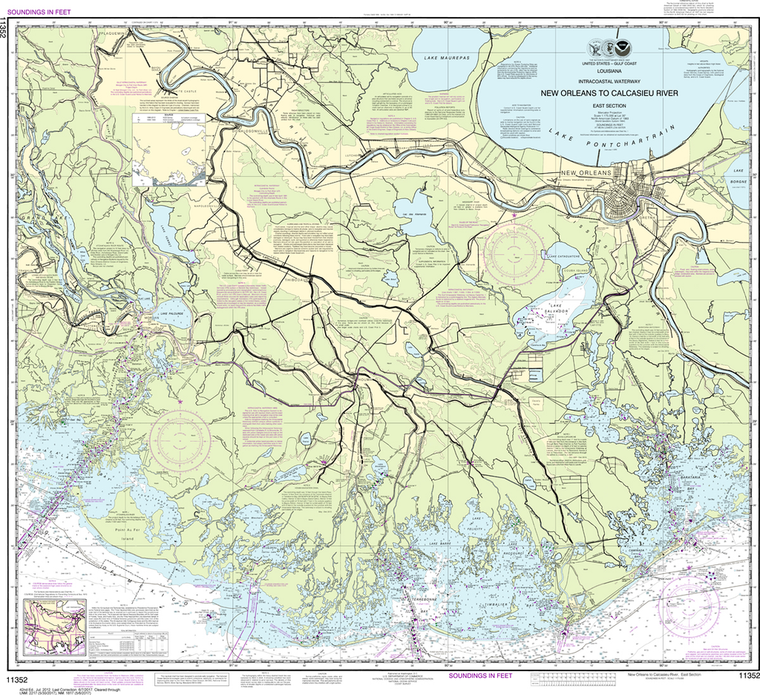
NOAA Chart 11352: Intracoastal Waterway - New Orleans to Calcasieu River East Section
$23.75
The chart you are viewing is NOT updated weekly and does NOT include all the of the latest Notice to Mariners corrections. Region: Gulf Coast & Caribbean Islands Paper Size: 42" x 36" Chart Image Size: 35" x 38"...
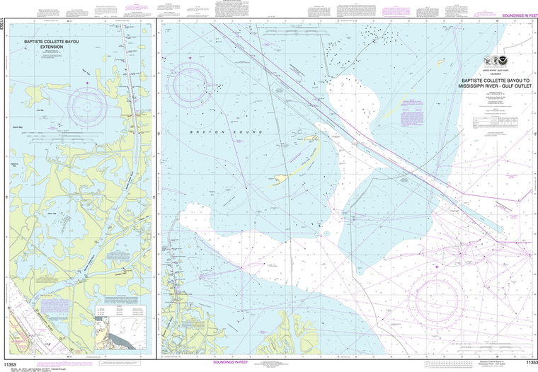
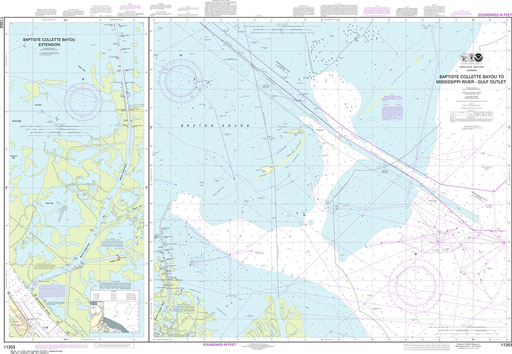
NOAA Chart 11353: Baptiste Collette Bayou to Mississippi River Gulf Outlet, Baptiste Collette Bayou Extension
$23.75
The chart you are viewing is NOT updated weekly and does NOT include all the of the latest Notice to Mariners corrections. Region: Gulf Coast & Caribbean Islands Paper Size: 52" x 36" Chart Image Size: 34" x 48" Scale:...
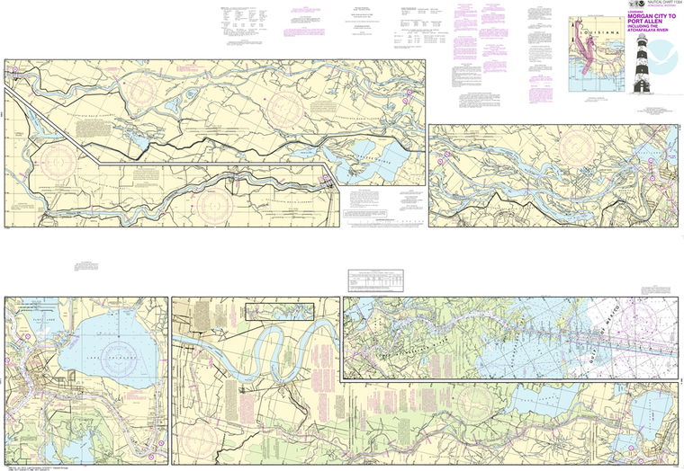
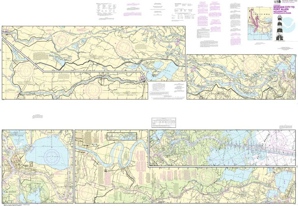
NOAA Chart 11354: Intracoastal Waterway - Morgan City to Port Allen, including the Atchafalaya River
$23.75
The chart you are viewing is NOT updated weekly and does NOT include all of the latest Notice to Mariners corrections. Region: Gulf Coast & Caribbean Islands Paper Size: 62" x 42" Chart Image Size: 41" x 59" Scale:...
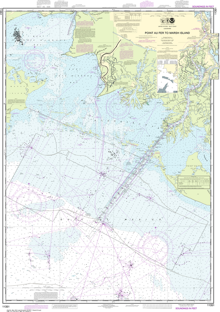
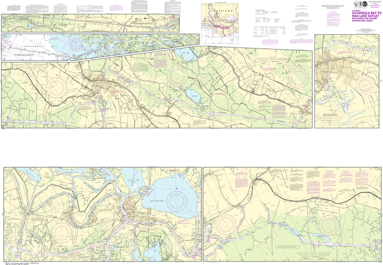
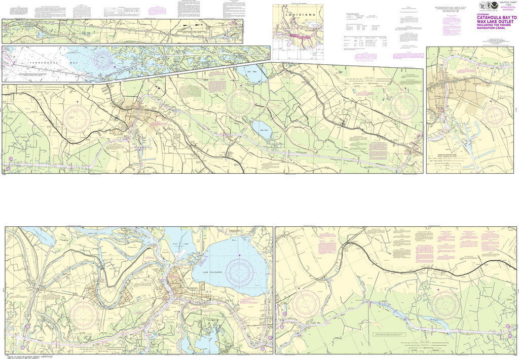
NOAA Chart 11355: Intracoastal Waterway - Catahoula Bay to Wax Lake Outlet including the Houma Navigation canal
$23.75
The chart you are viewing is NOT updated weekly and does NOT include all of the latest Notice to Mariners corrections. Region: Gulf Coast & Caribbean Islands Paper Size: 62" x 42" Chart Image Size: 41" x 59" Scale:...
The chart you are viewing is NOT updated weekly and does NOT include all the of the latest Notice to Mariners corrections. Region: Gulf Coast & Caribbean Islands Paper Size: 51" x 36" Chart Image Size: 48" x 34" Scale:...
Region: Gulf Coast & Caribbean Islands Paper Size: 53" x 36" Chart Image Size: 50" x 34" Scale: 1:80,000 Captain's Nautical Supplies is a Print-on-Demand nautical chart dealer for US Waters. All charts are printed up-to-date and...
The chart you are viewing is NOT updated weekly and does NOT include all of the latest Notice to Mariners corrections. Region: Gulf Coast & Caribbean Islands Paper Size: 50" x 36" Chart Image Size: 47" x 34" Scale:...
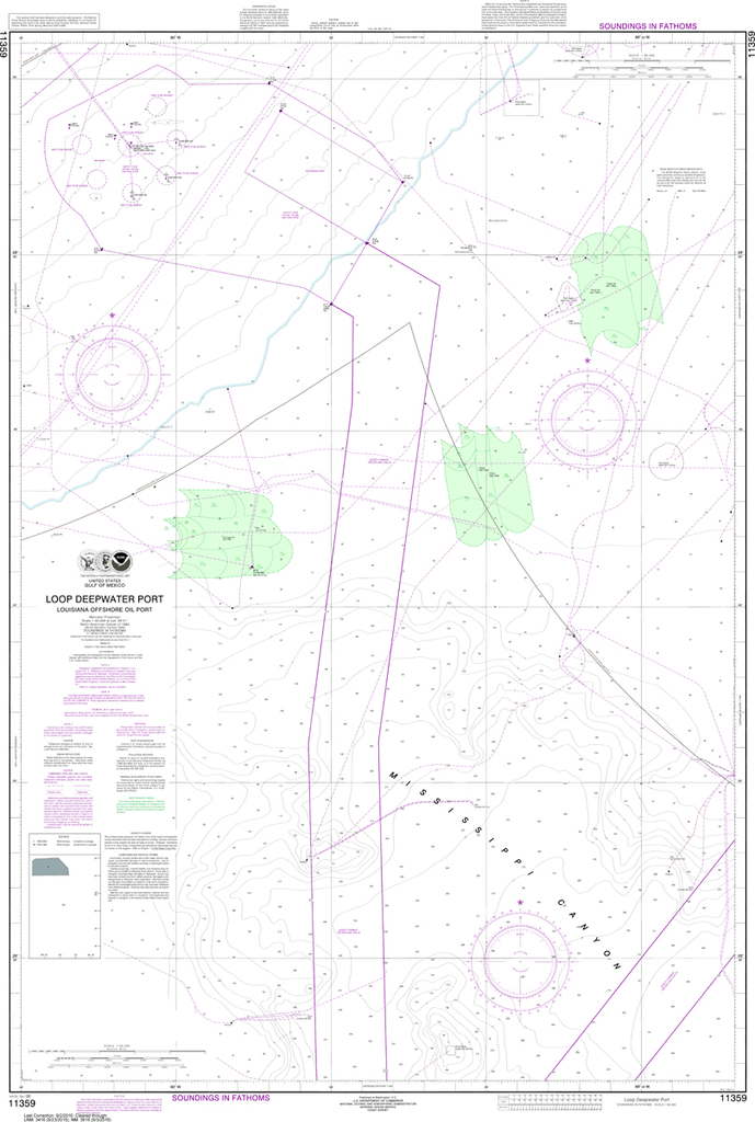
NOAA Chart 11359: Loop Deepwater Port, Louisiana Offshore Oil Port
$23.75
The chart you are viewing is NOT updated weekly and does NOT include all the of the latest Notice to Mariners corrections. Region: Gulf Coast & Caribbean Islands Paper Size: 50" x 36" Chart Image Size: 46" x...
The chart you are viewing is NOT updated weekly and does NOT include all the of the latest Notice to Mariners corrections. Region: Gulf Coast & Caribbean Islands Paper Size: 48" x 36" Chart Image Size: 45" x 35"...
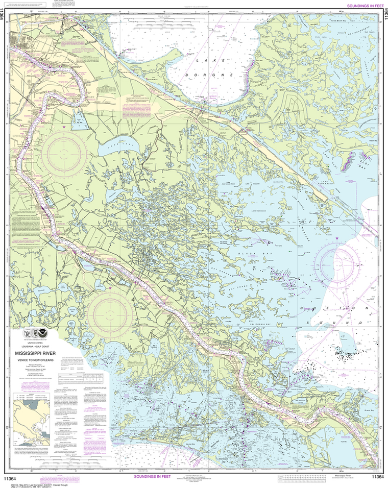
NOAA Chart 11364: Mississippi River - Venice to New Orleans
$23.75
The chart you are viewing is NOT updated weekly and does NOT include all the of the latest Notice to Mariners corrections. Region: Gulf Coast & Caribbean Islands Paper Size: 47" x 36" Chart Image Size: 44" x 35"...
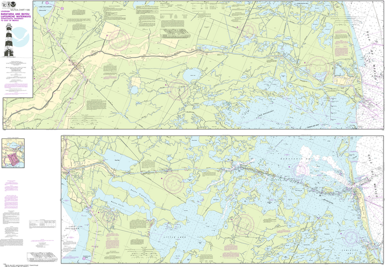
NOAA Chart 11365: Barataria and Bayou Lafourche Waterways, Intracoastal Waterway to Gulf of Mexico
$23.75
Region: Gulf Coast & Caribbean Islands Paper Size: 62" x 42" Chart Image Size: 41" x 59" Scale: 1:50,000 Captain's Nautical Supplies is a Print-on-Demand nautical chart dealer for US Waters. All charts are printed up-to-date and...
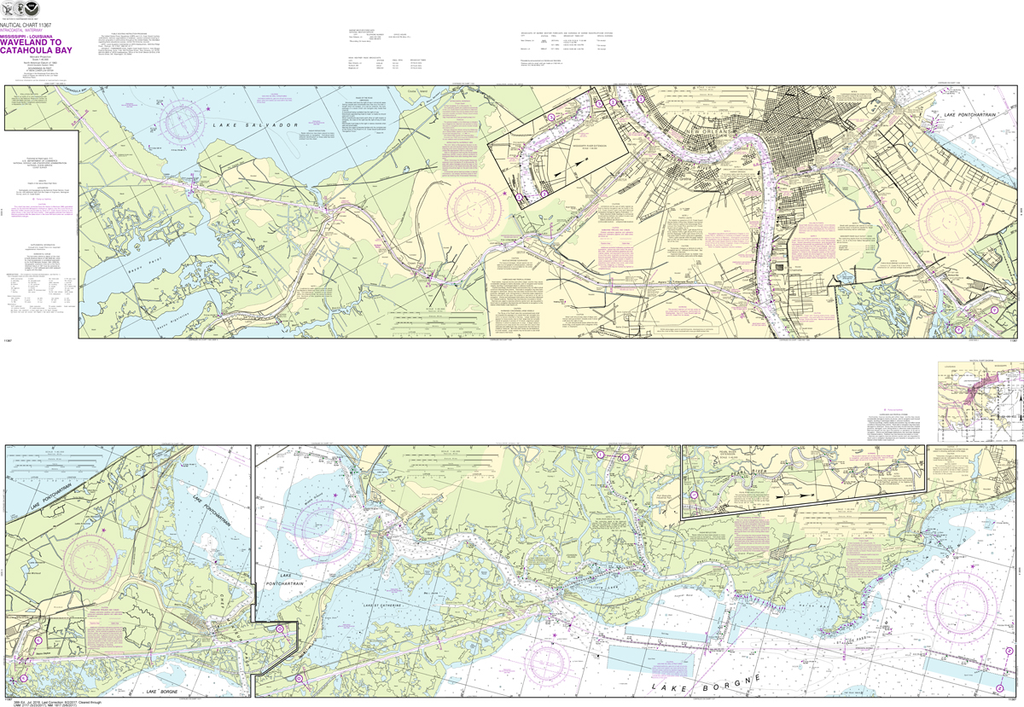
NOAA Chart 11367: Intracoastal Waterway - Waveland to Catahoula Bay
$23.75
The chart you are viewing is NOT updated weekly and does NOT include all of the latest Notice to Mariners corrections. Region: Gulf Coast & Caribbean Islands Paper Size: 62" x 42" Chart Image Size: 41" x 59" Scale:...
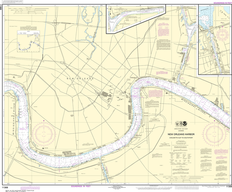
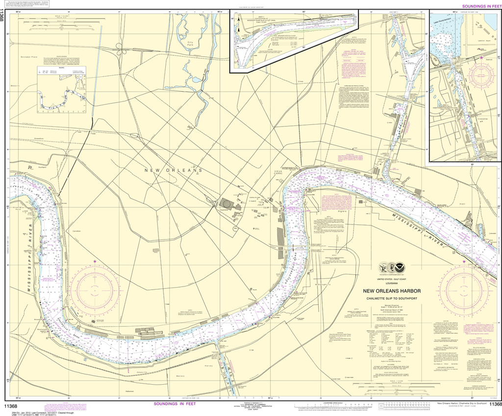
NOAA Chart 11368: New Orleans Harbor - Chalmette Slip to Southport
$23.75
The chart you are viewing is NOT updated weekly and does NOT include all of the latest Notice to Mariners corrections. Region: Gulf Coast & Caribbean Islands Paper Size: 46" x 36" Chart Image Size: 35" x 42" Scale:...
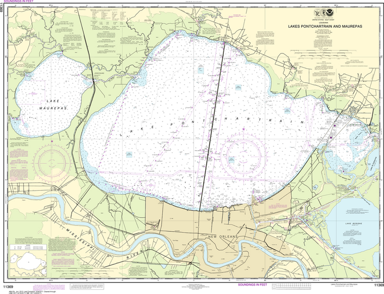
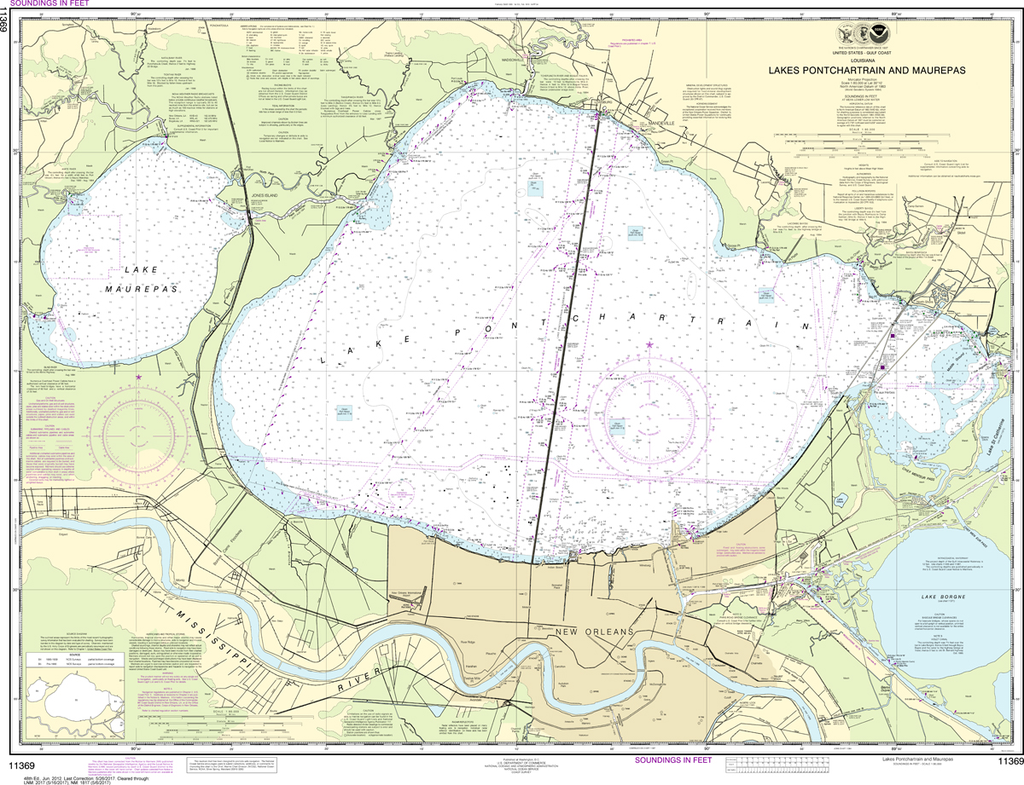
NOAA Chart 11369: Lakes Pontchartrain and Maurepas
$23.75
The chart you are viewing is NOT updated weekly and does NOT include all of the latest Notice to Mariners corrections. Region: Gulf Coast & Caribbean Islands Paper Size: 46" x 36" Chart Image Size: 33" x 43" Scale:...
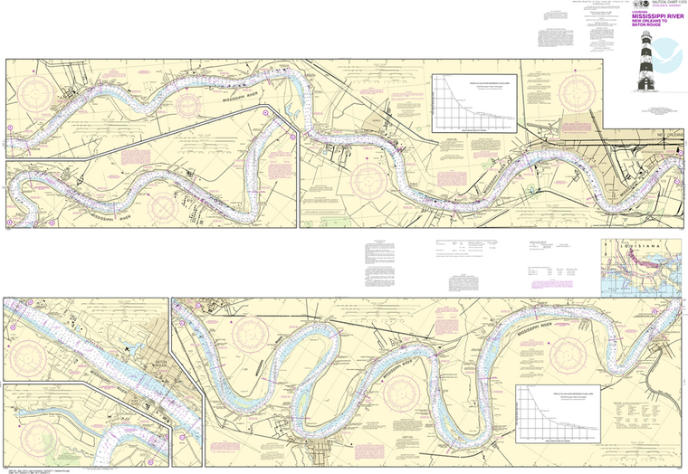
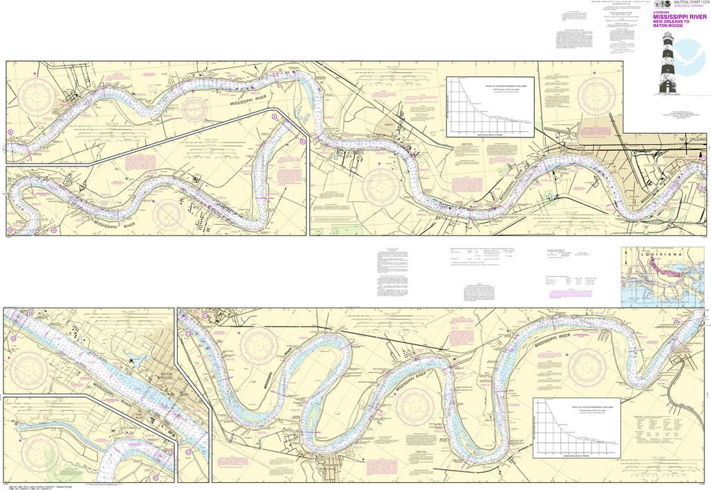
NOAA Chart 11370: Mississippi River - New Orleans to Baton Rouge
$23.75
Region: Gulf Coast & Caribbean Islands Paper Size: 62" x 42" Chart Image Size: 41" x 59" Scale: 1:40,000 Captain's Nautical Supplies is a Print-on-Demand nautical chart dealer for US Waters. All charts are printed up-to-date and...