$52.00
2026 Edition! List of Lights 110: Radio Aids and Fog Signals covers Greenland, the East Coasts of North and South America (excluding continental U.S.A. except the east coast of Florida) and the West Indies. The List of Lights is published...
$43.00
2026 Light List: Volume 5 - Mississippi River System covers the entire Mississippi River as it runs from its source in northwestern Minnesota to its mouth in the Gulf of Mexico. Included are all Coast Guard aids to navigation used...
$55.00
2026 Light List: Volume 3 - Little River, South Carolina to Ecofina River, Florida (Includes Puerto Rico and the U.S. Virgin Islands). The USCG Light List is published in seven volumes and contains lights and other aids to navigation used...
$53.00
2026 Light List: Volume 2 - Shrewsbury River, New Jersey to Little River, South Carolina. The USCG Light List is published in seven volumes and contains lights and other aids to navigation used for general navigation that are maintained by...
$53.00
2026 Light List: Volume 1 - St. Croix River, Maine to Shrewsbury River, New Jersey. The USCG Light List is published in seven volumes and contains lights and other aids to navigation used for general navigation that are maintained by...
$50.00
Radio Aids to Marine Navigation 2026 (Atlantic, St. Lawrence, Great Lakes, Lake Winnipeg, Arctic and Pacific)
$29.95
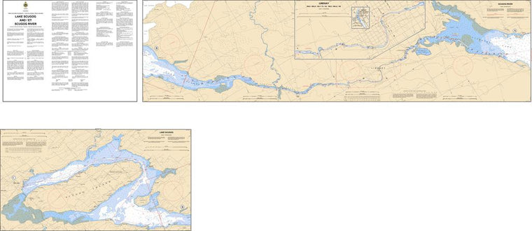
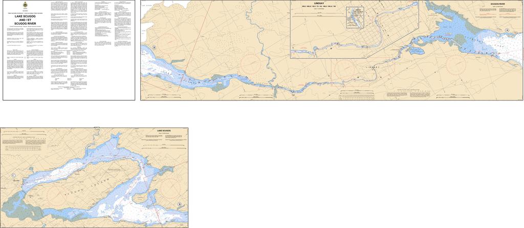
Please note all CHS Charts are updated at time of printing. Region: Great Lakes Paper Size: 82" x 36" Chart Image Size: 78⅝" x 35½" Scale: 1:30,000 Captain's Supplies is a Print-on-Demand nautical chart dealer for Canadian Waters. All charts...
$5.95
2026 EDITION A Daily Necessity for Saltwater Commerce and Recreation. High and Low Tides for 2 months are in view at the same time. Time and Height Corrections for all points within a Tide District are printed between the...